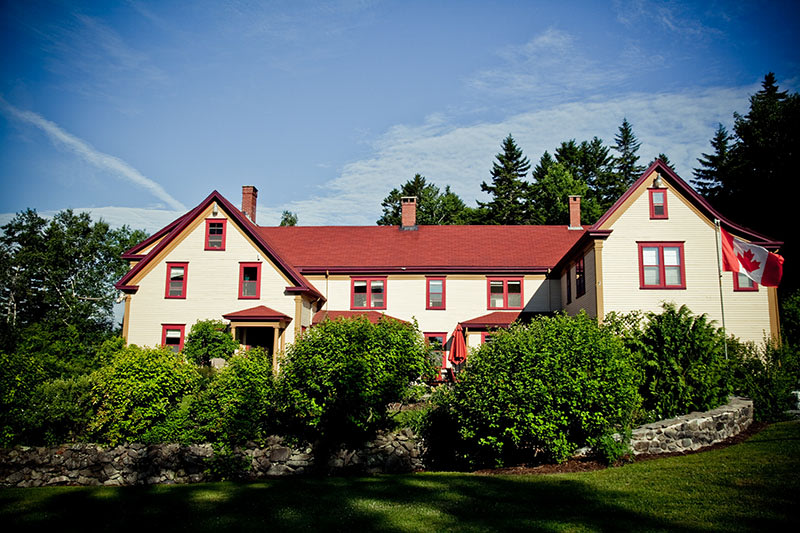
- Hubbards Provincial Park
The best camping in Hubbards Provincial Park, NS
Discover the natural charm of Hubbards Provincial Park.

Snag sold-out campsites.
Get notified the instant a national park campsite becomes available, for free.
See the best spots in one place.
Explore 500K+ public lands, RV resorts, and private sites you won't find anywhere else.
Book with confidence.
Read millions of real reviews from campers like you—so you know what to expect.Top-rated campgrounds near Hubbards Provincial Park
Recent reviews from the Hipcamp community
K
Karen
October 2025
24 ft Class B
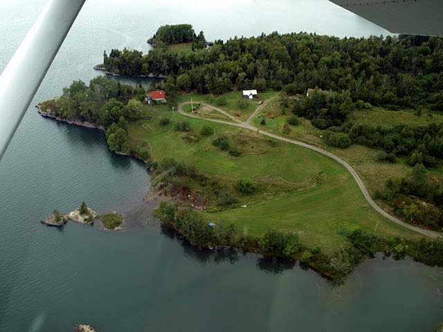
Paul was so accommodating! The site was perfect, the views fantastic. This is a gem of a place.
See more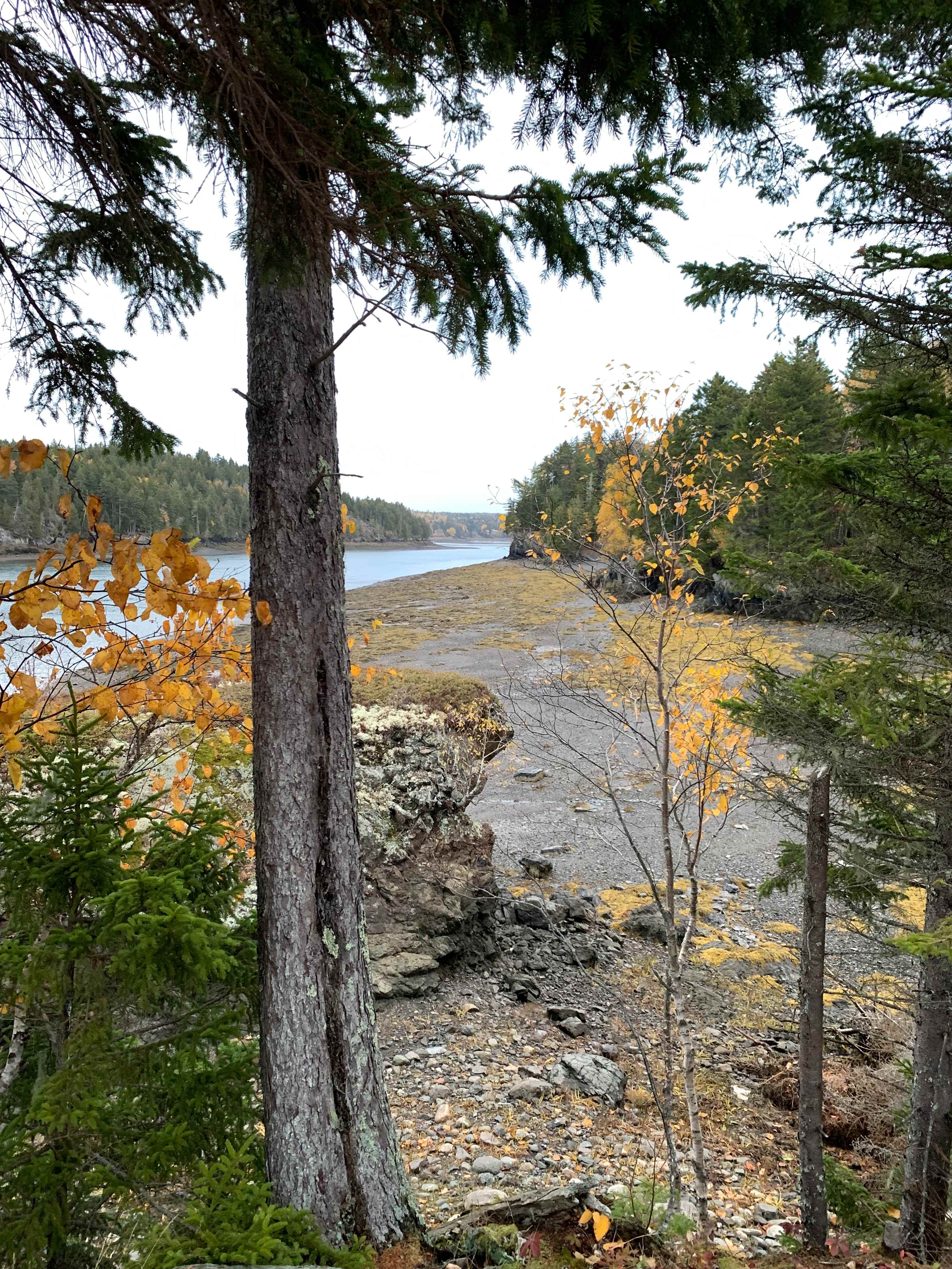
C
Christine
October 2025
23 ft Class C
Beautiful view, lovely peaceful woods, nice hiking and a most welcoming host.
See more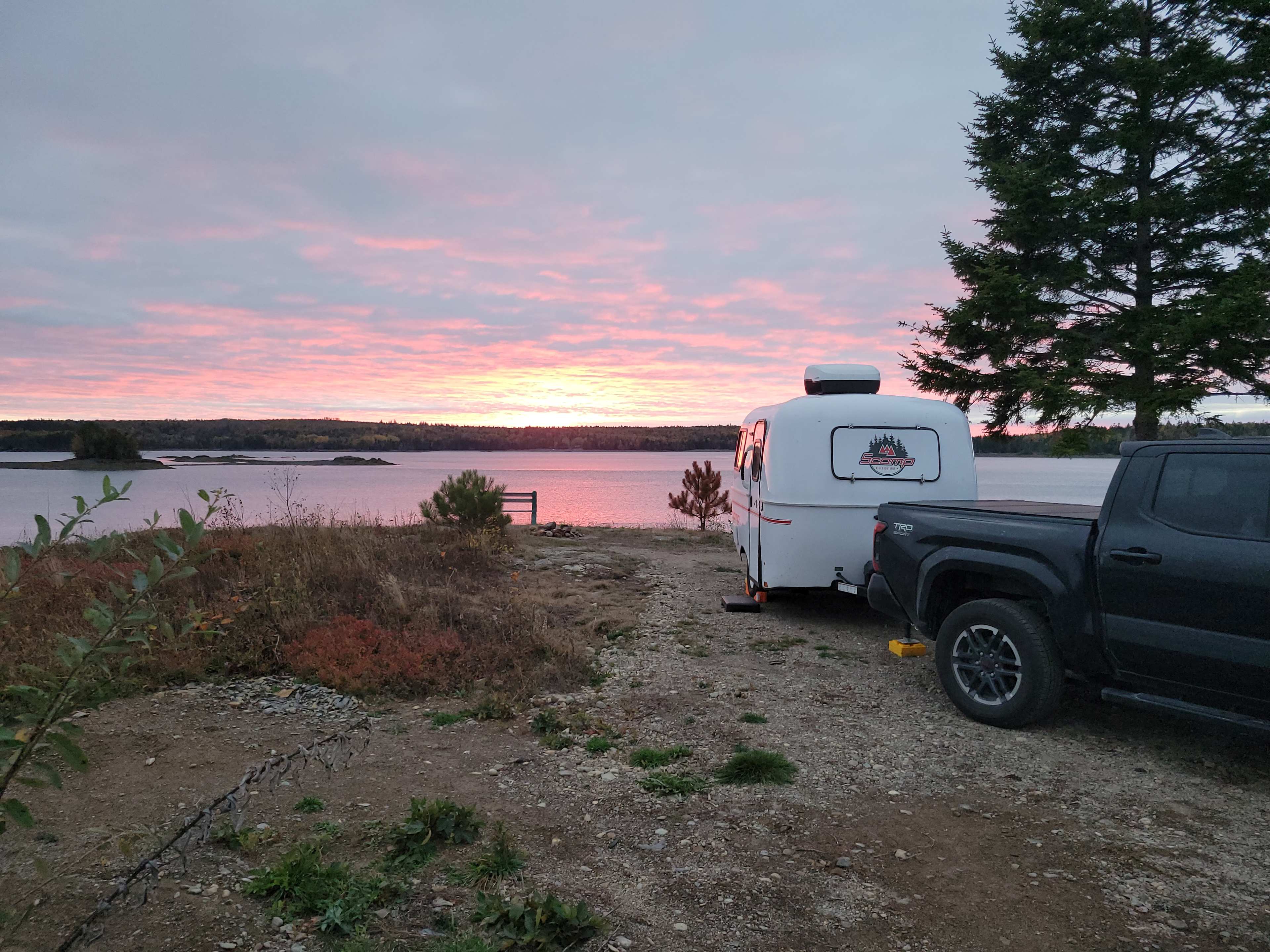
T
Tammy
October 2025
13 ft travel trailer
With pets
Our camping site on Paul's property was stunning with fabulous water views in all directions.
See more
M
Mason
October 2025
Tent
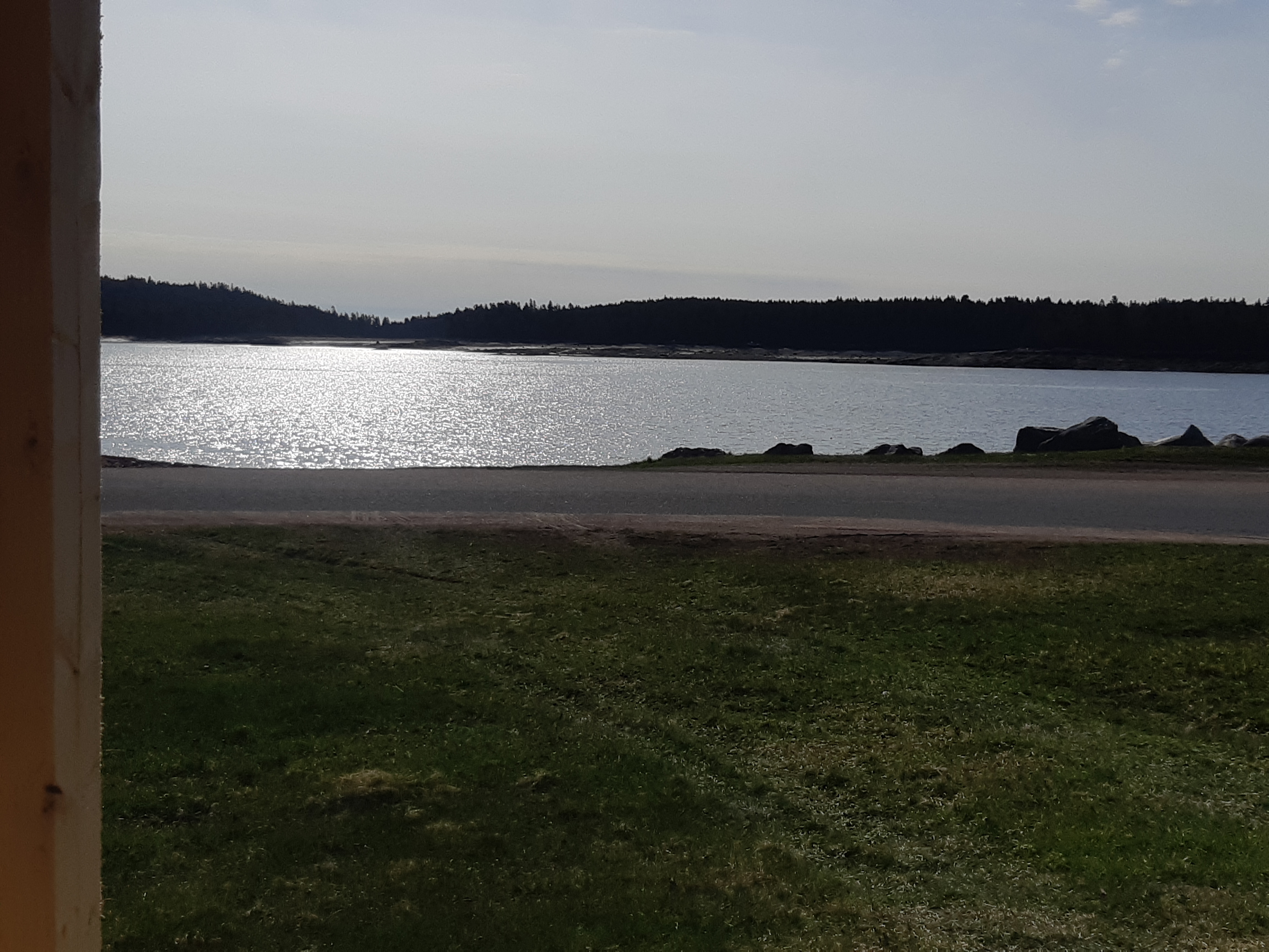
Lovely spot. Solitude by the water. Host was nice and camping location was easy to access but felt private and removed.
See more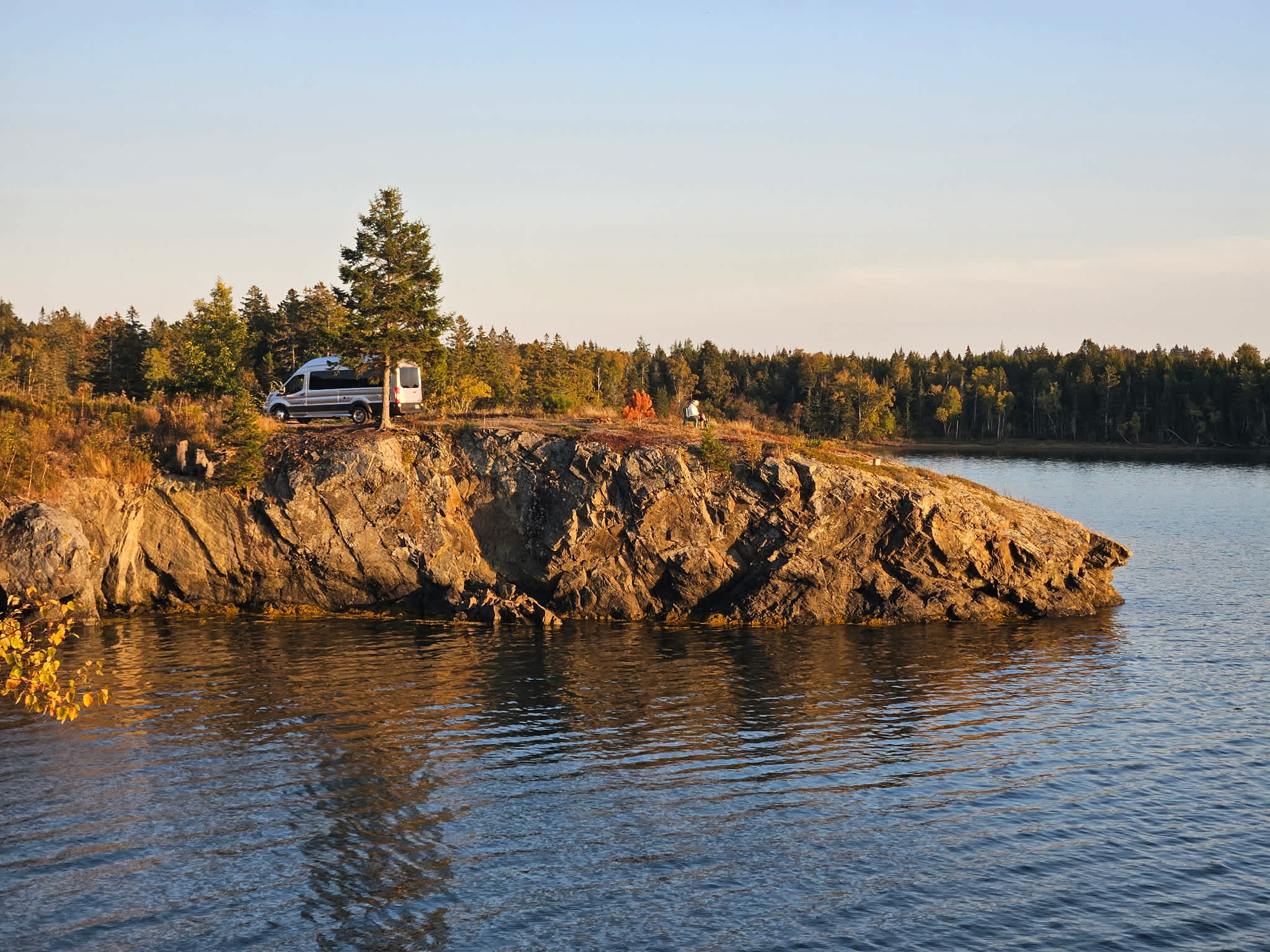
S
Sally
September 2025
22 ft Class B
Hipcamp campground Mouth of the Magaguadvic is amazing. There is not much to do, but there is a lot to see. The kind of place where you need to spend time just watching the world around you, ever changing. Tides, water, sunlight, moonlight, dusk, dawn, clouds, blue skies, gray skies, reflections, shadows, ripples, rocks, seaweed emerging, and receding. The water and sky is busy with various birds; Loons, eagles, crows, ravens, seagulls, cormorants, herons. The shrubs are full of song birds, old friends and those never heard before! Deep water follows the mud flats, islands come and go, walkways appear and disappear. The colors of approaching fall, red of the blueberry plants, last of the asters, goldenrod and yarrow blooming, a few oak trees fading from green, red maples along the edge of the cove. Spruce heavy with cones. Red soldiers moss and blueberry plants crunchy underfoot, along with prickly juniper low to the ground. Mountain ash full of red berries along the roadway to the ferry. Paul’s place is truly remarkable and he was a wonderful and informative host. Many thanks for sharing such a magical place.
See more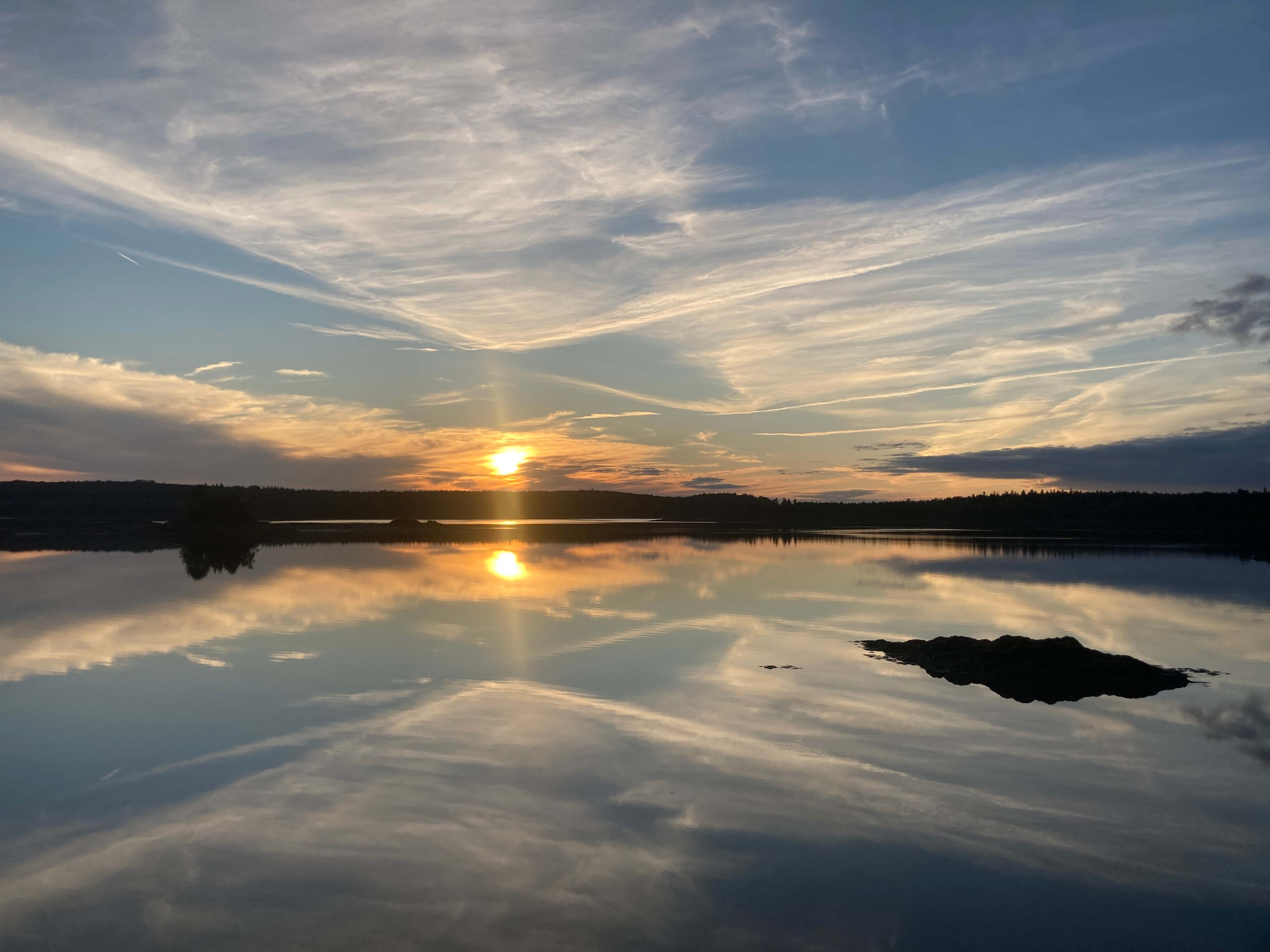
A
Alexis
September 2025
13 ft pop-up camper
Stunning site with friendly hosts. We loved our stay here, exploring the land and tides, enjoying the scenery, and learning about some local options from the hosts. Camped right on the water. Appreciate that our dog was welcome too.
See more
T
Ted
September 2025
13 ft travel trailer
With pets
Beautiful site with great views. Not a glamping campground and thats a good thing. Rustic with large remote sites and great friendly host. Would come back again if in the area.
See more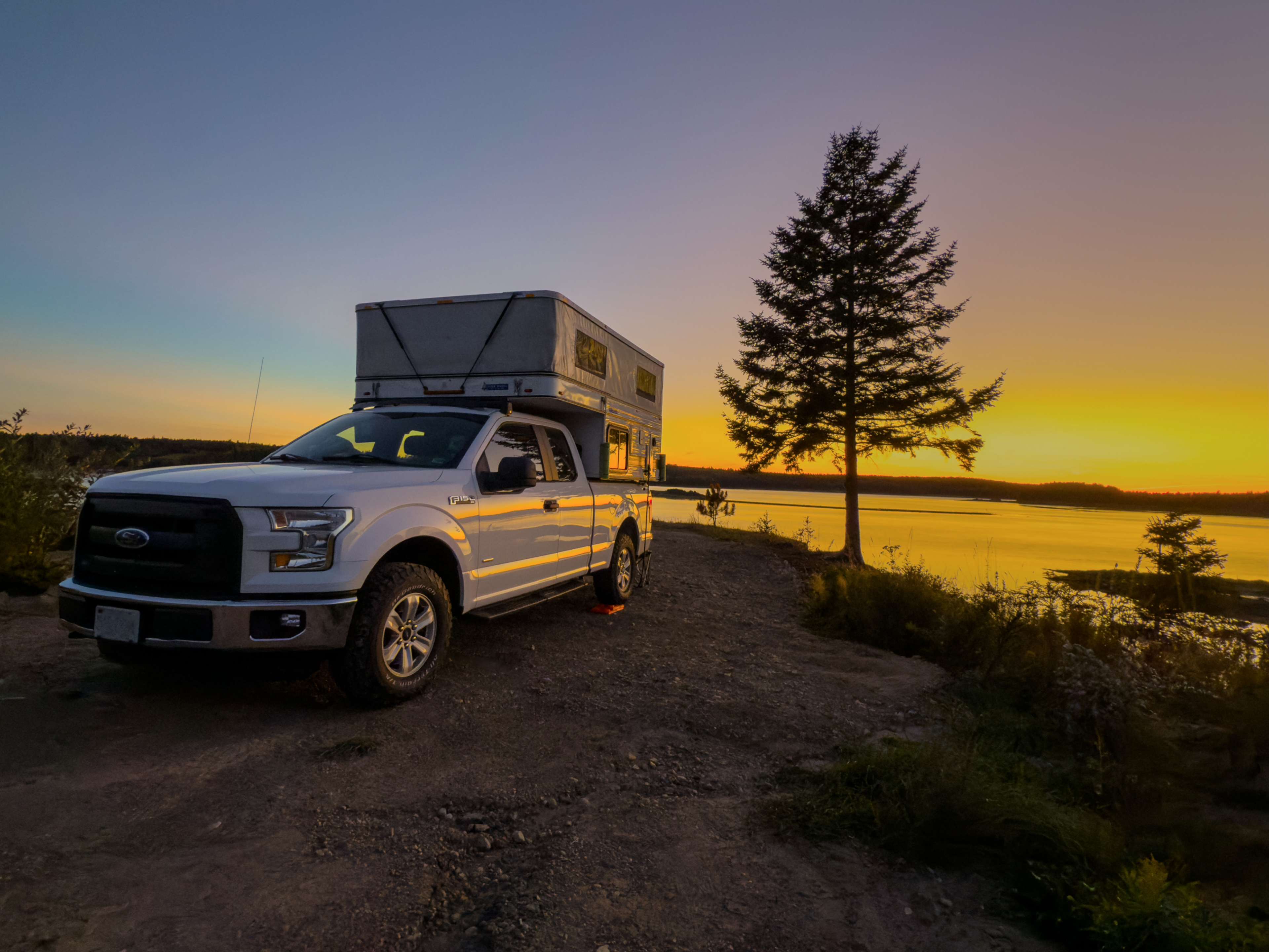
Rusty
September 2025
19 ft pop-up camper
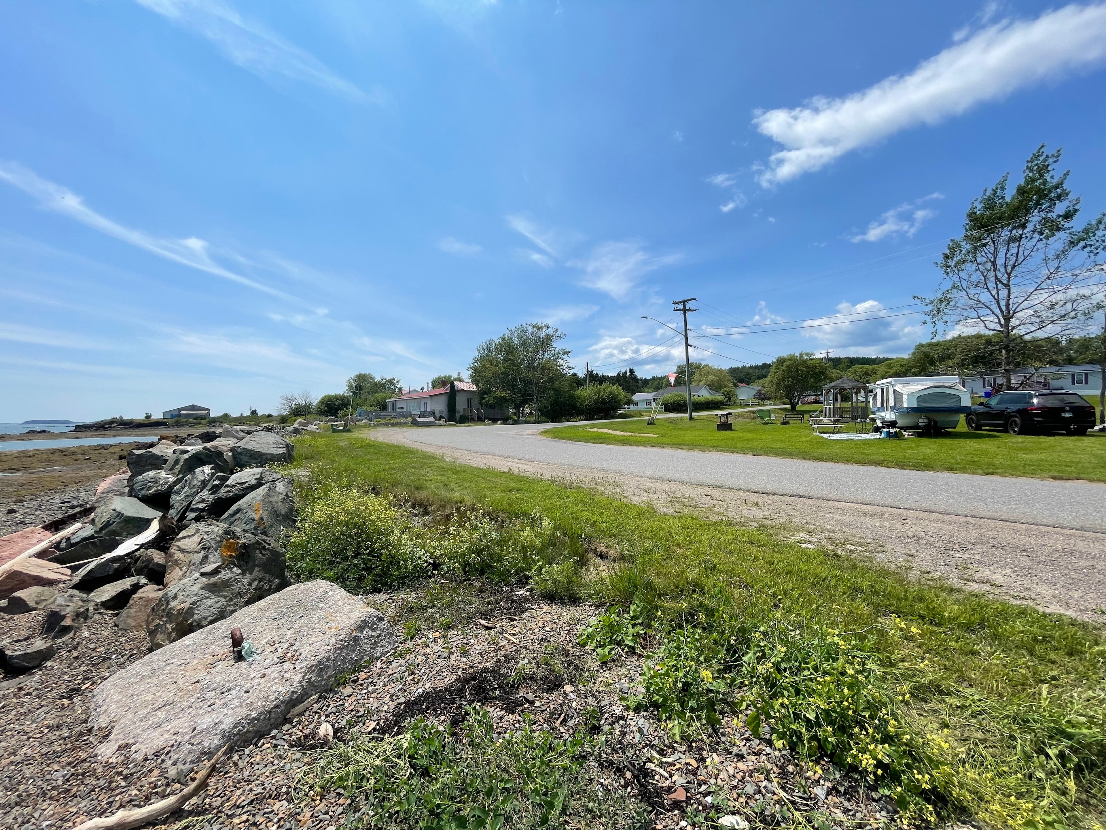
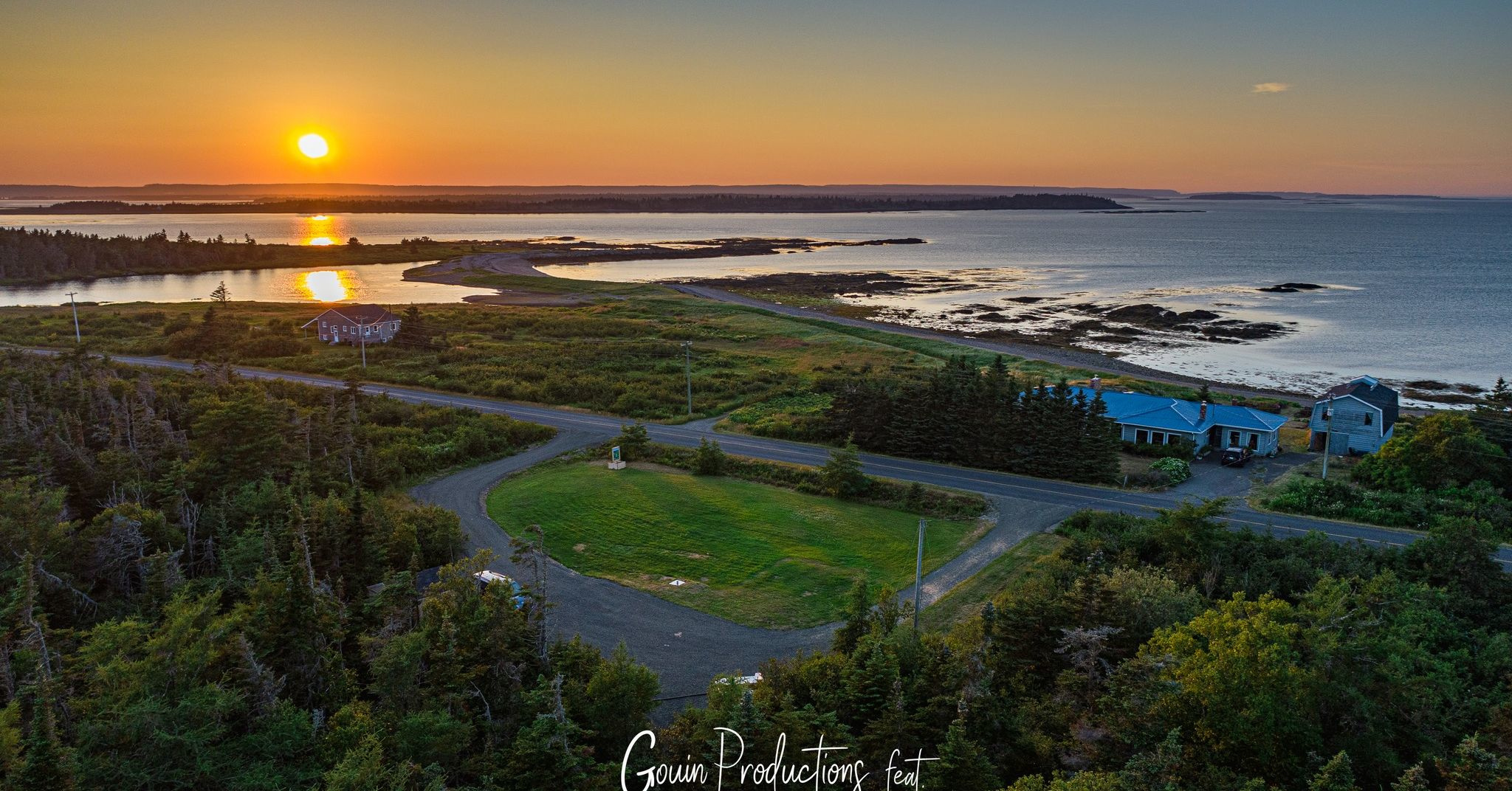
It’s hard to write a review of Mouth of Magaguadavic without overusing superlatives, but I’ll give it a try. In ten years of wandering around the US and Canada in our truck camper, this site is in the top five most spectacular places that we have camped. Imagine camping at the tip of a small point extending into a bay with a 270+ degree view of the bay and its shores and islands. And twice a day the water in the bay rises and falls by over twenty feet! Highly recommended! Paul is a very accommodating and informative host, and his business partner Dave was also very helpful and amiable. If Paul recommends island hopping on ferries to get to the campground, I suggest taking his advice. We saw dolphins, a seal, and a whirlpool during our island hopping. My only regret during our stay was not paddling the tidal waters of the Magaguadavic River, but I hope to check that item off the list the next time we’re in NB.
See more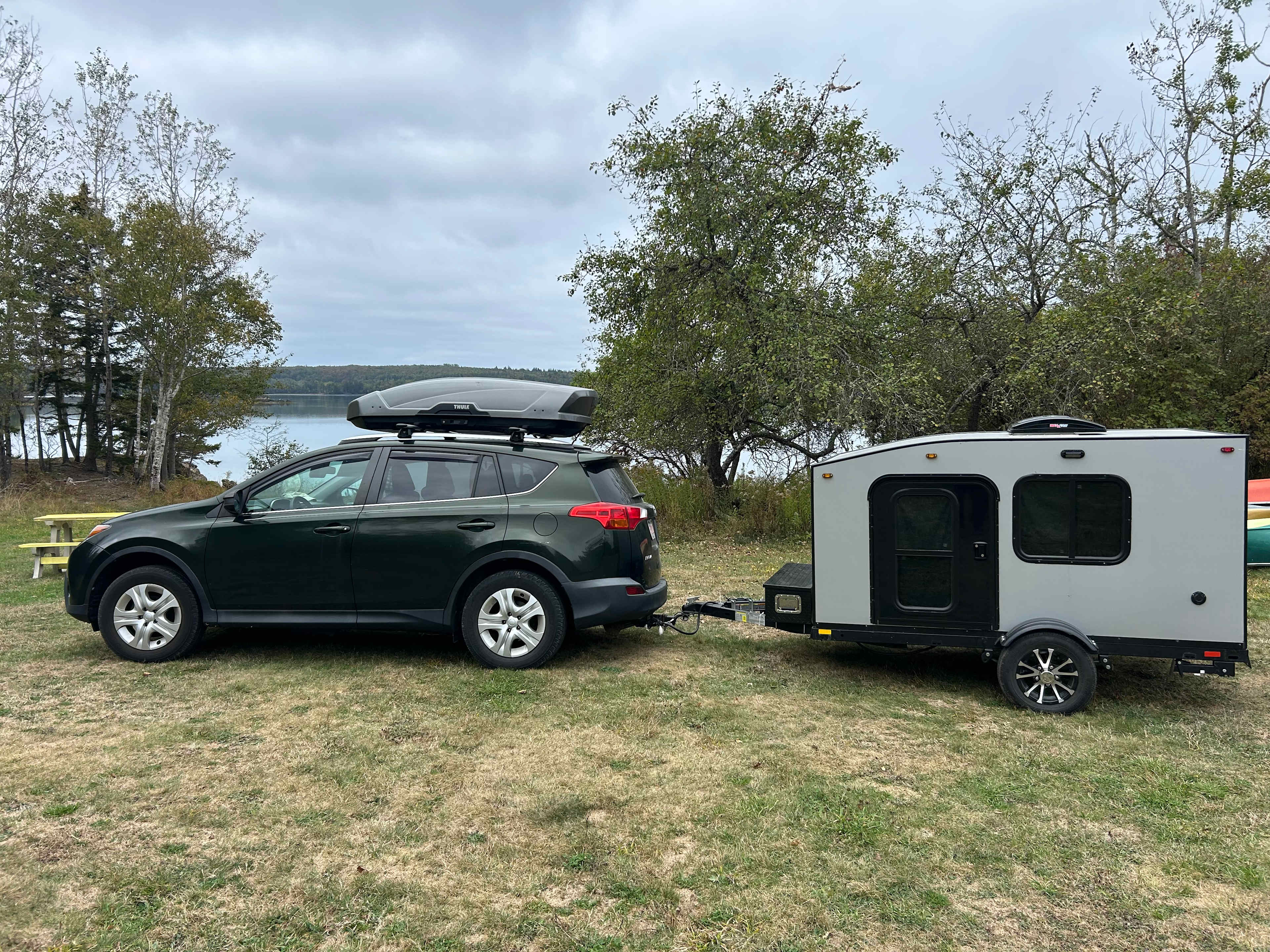
Malcolm
September 2025
10 ft pop-up camper
We enjoyed our stay! The campground is near the Calias border crossing and makes a great stop on the way to PEI and Cape Breton. Paul was very responsive to messages and texts. David led us to our campsite where we had a whole field by the water to ourselves. I recommend you stop at McKays blueberries nearby to get a pie or muffins.
See more
Michael
September 2025
20 ft Class B
We loved this place! The views were amazing, the site so quiet, private and peaceful and Paul was a great host. I couldn’t believe all the useful information he sent before our stay. We even added a day to our vacation to fit in some of his suggestions. This is a must-do spot of you’re in the area.
See more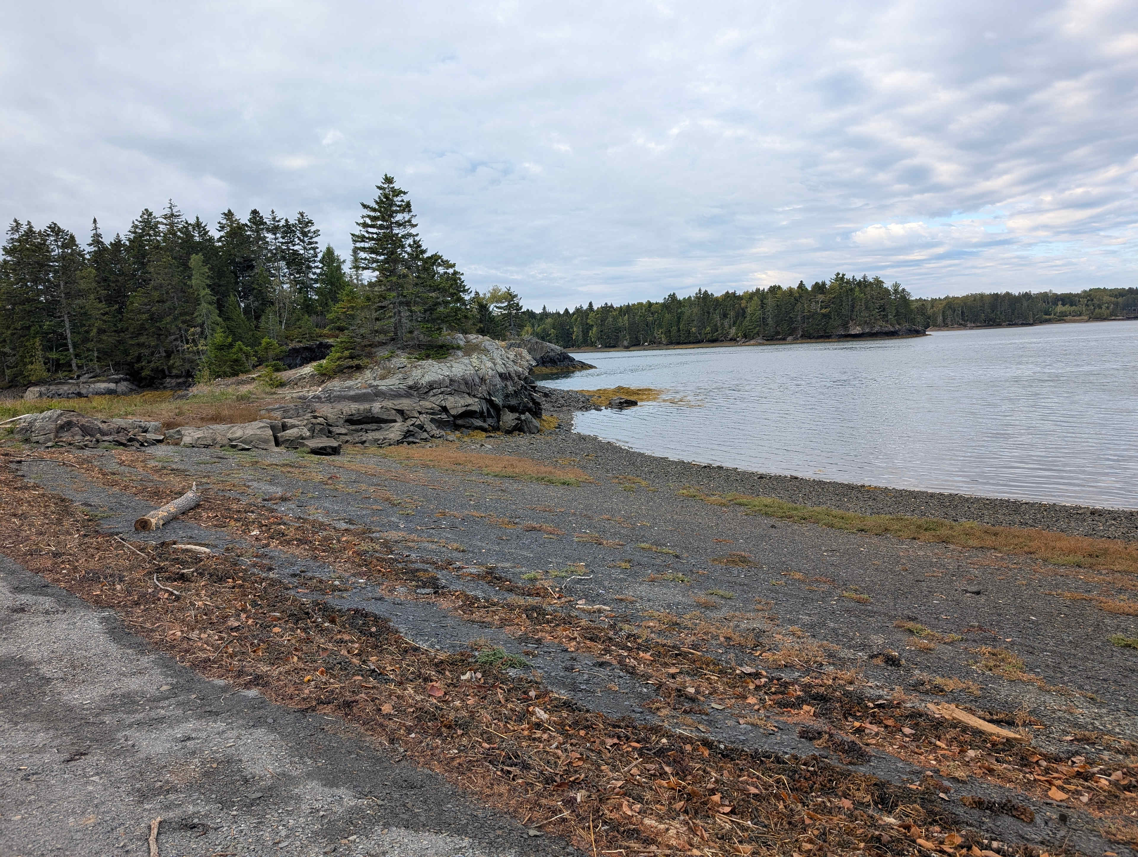
Rosie
September 2025
Tent
This was an absolutely stunning camping spot!! So private feeling, an incredible view of the river/ bay. Paul was so helpful with recommendations for things to see on our way to and from his spot. Being able to charge our devices inside the house was also so handy for a longer camping trip. Wonderful host, wonderful property. Highly recommend.
See more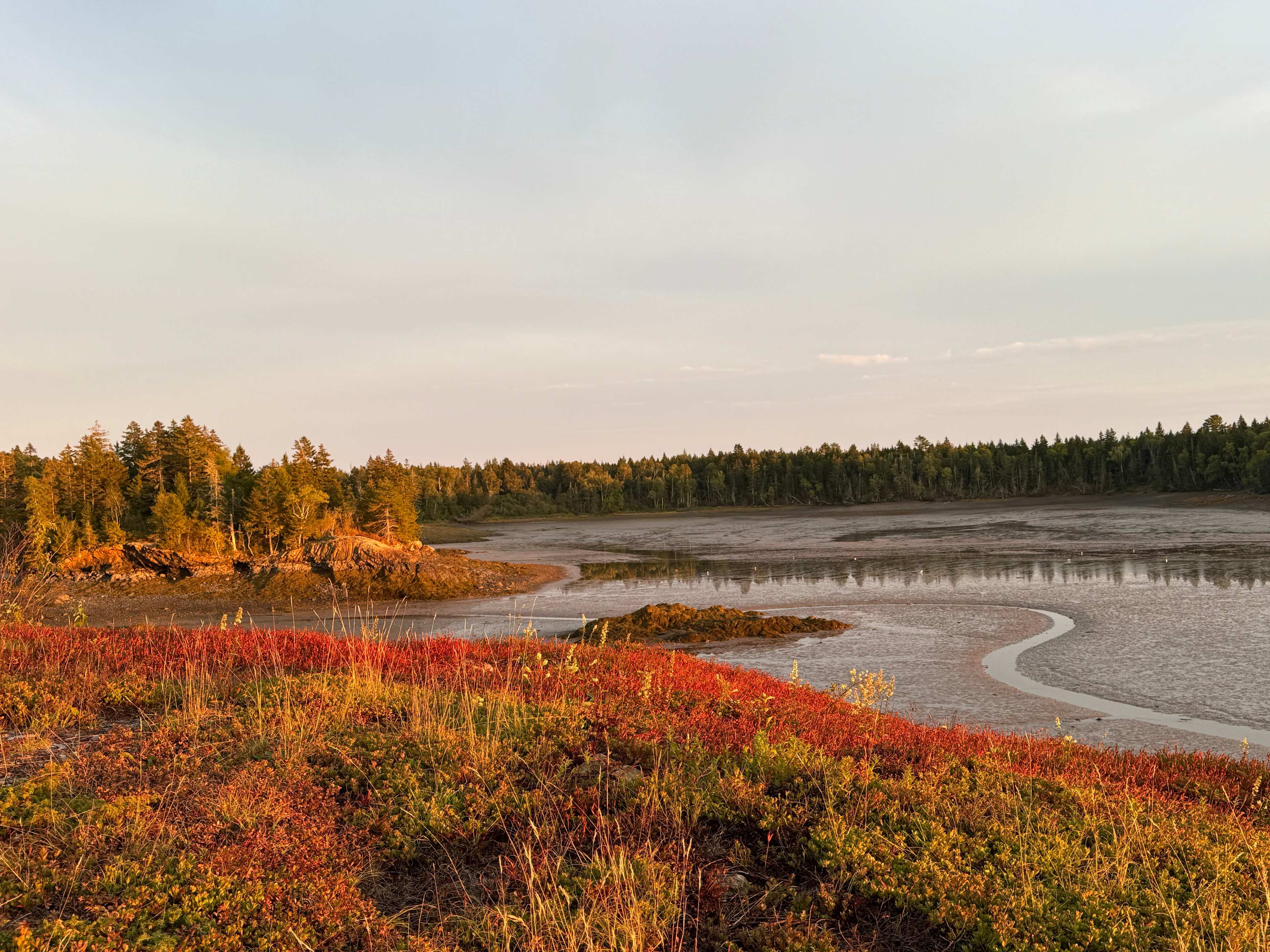
D
David
September 2025
22 ft campervan
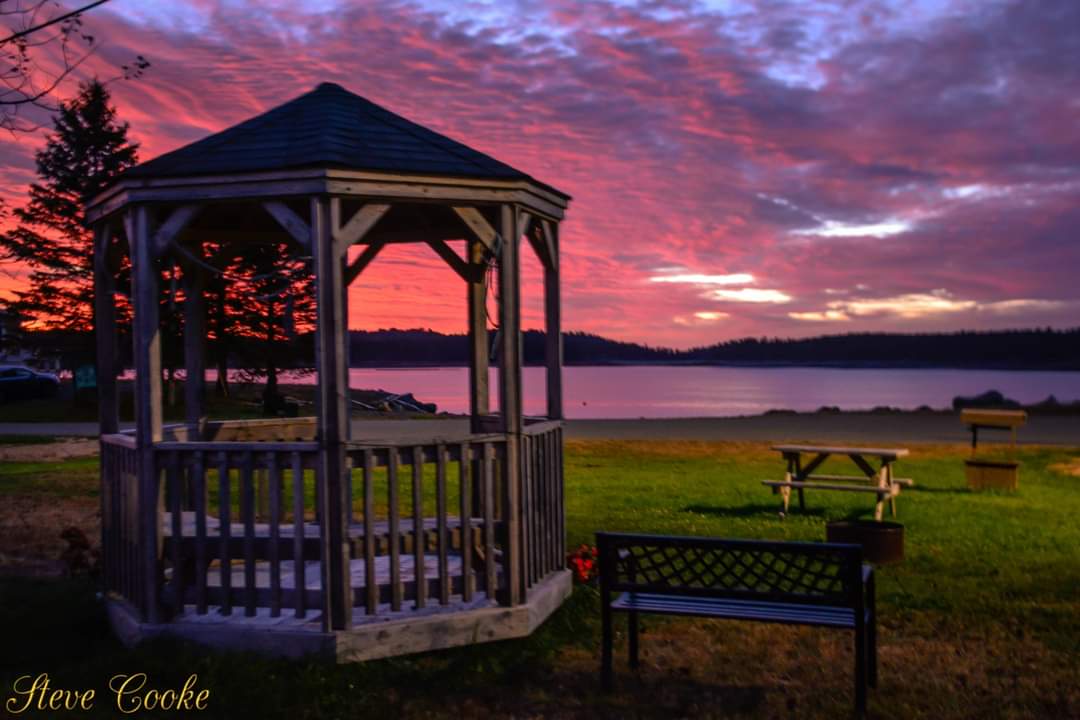
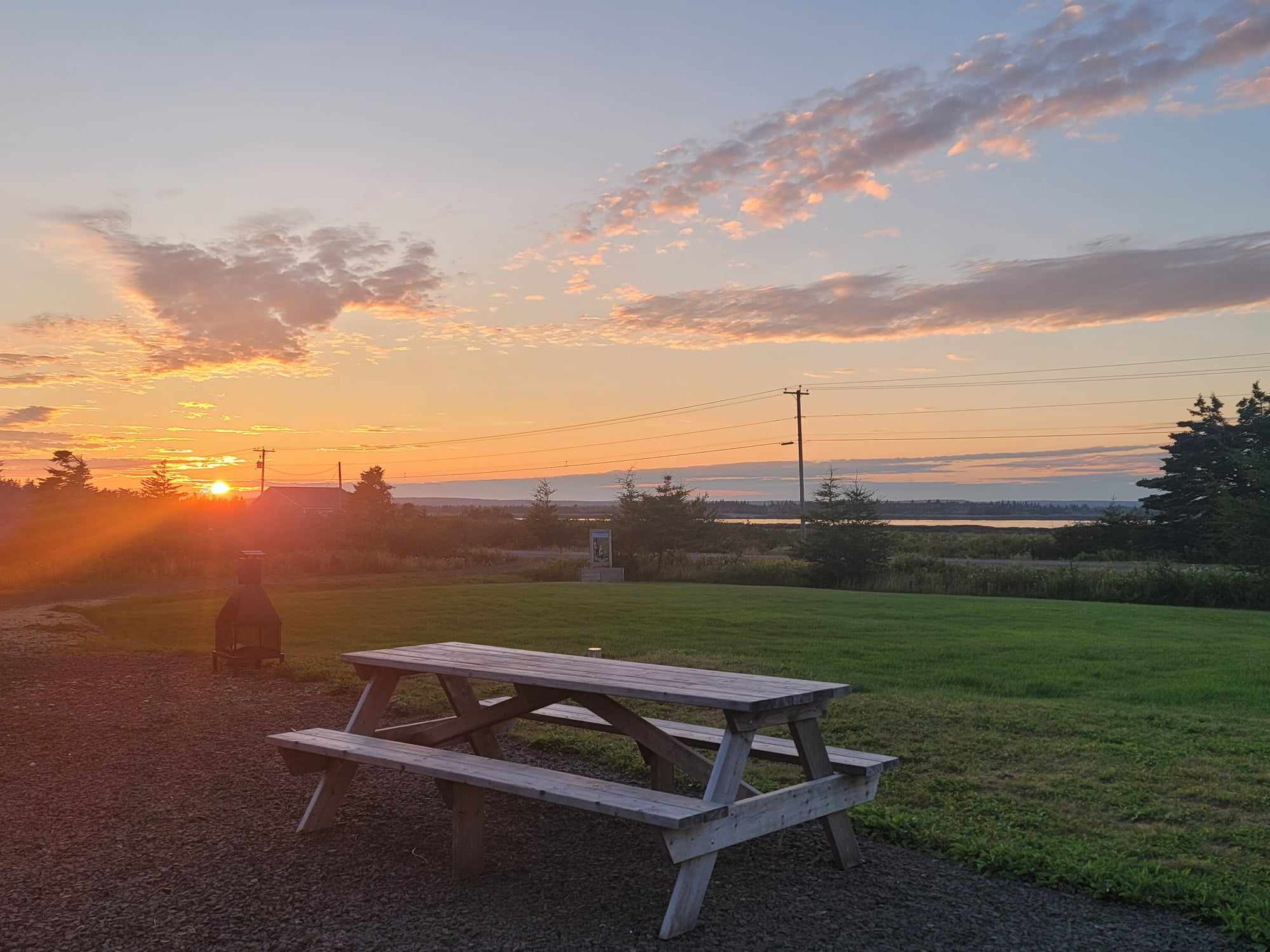
What a special place the Mouth of Magaguadavic is! And what wonderful folks Paul and his business partner Dave are! We were warmly greeted by them and the dogs, Milo and Scooter. Paul led us to our site…a point overlooking the bay (the tide was out) just as the sun was setting. A sky of orange and blue and yellow. Spectacular! And this was just the start of a bunch of great days spent here. We canoed up the river to St. George on the incoming tide, saw eagles, ate lunch at the Fish Market, and cruised back home on the outgoing tide. We bicycled into town another day, visited the marsh and the fish ladder. We had a peaceful day reading books in the sun overlooking the water and walking out in the low tide. We paddle-boarded on the lagoon another day and even went digging in the mud for bloodworms with Dave one morning at low tide. Being late in the season, we practically had the place to ourselves, (over 100 acres), so we checked out the woodlands, the tidal river, and the different campsites, all stunning, private, and roomy. Mouth of Magaguadavic site is just the best camping site you could imagine! A peaceful area, right on the bay, With stellar sunsets and star-filled dark nights. And run by the kindest, most interesting guys! We will definitely be back!
See more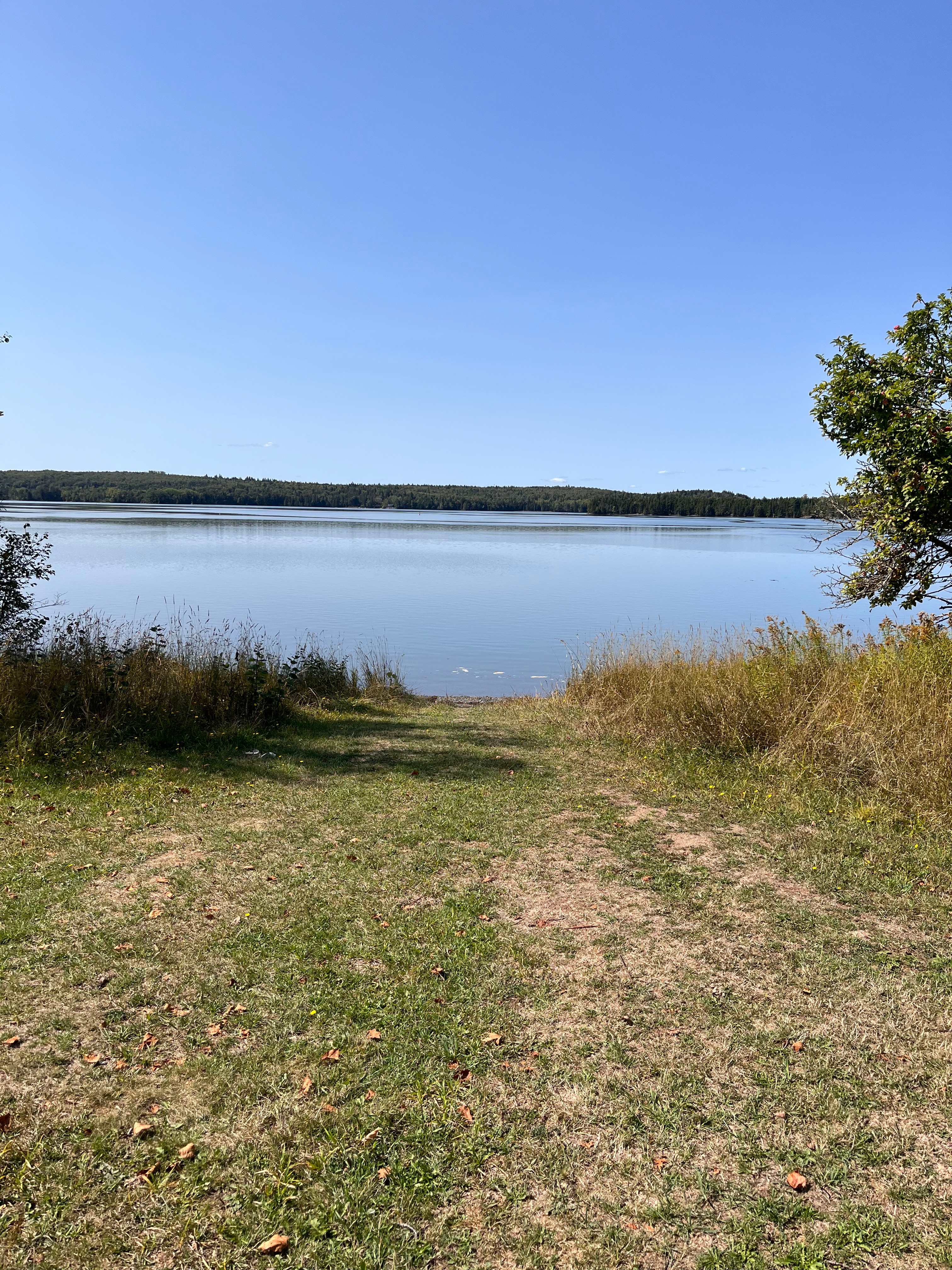
H
Hazel
September 2025
16 ft campervan
With pets
Fabulous. From the moment I booked, Paul provided me with info to make my trip more enjoyable. Advising to take the ferries rather than drive the long way. Perfect. The camp sites a staggered around the old homestead. I was there in September so the camp population was small (perfect).
Paul’s campground is VERY non commercial. The town doesn’t know about it, so don’t ask directions. The sign is very rustic so pay attention to “street” numbers. The driveway is rustic and bumpy, don’t be deterred. The house that will greet you is a work in progress. Again, don’t be deterred. The campsites overlook the river and are spread out and lovely. No water or electricity at sites… no problem. I traveled from NH to Meatcove Cape Breton. Paul’s and Meatcove were my favorite spots. Note…. Meatcove is a long trip. My advice is to take Paul’s advice and take the ferries. Canadian border was small and calm. They did take my mace going in. Bear spray ok, mace not okay. Sweet dogs will greet you.
Thank you Paul and Marilyn for my lovely stay
See more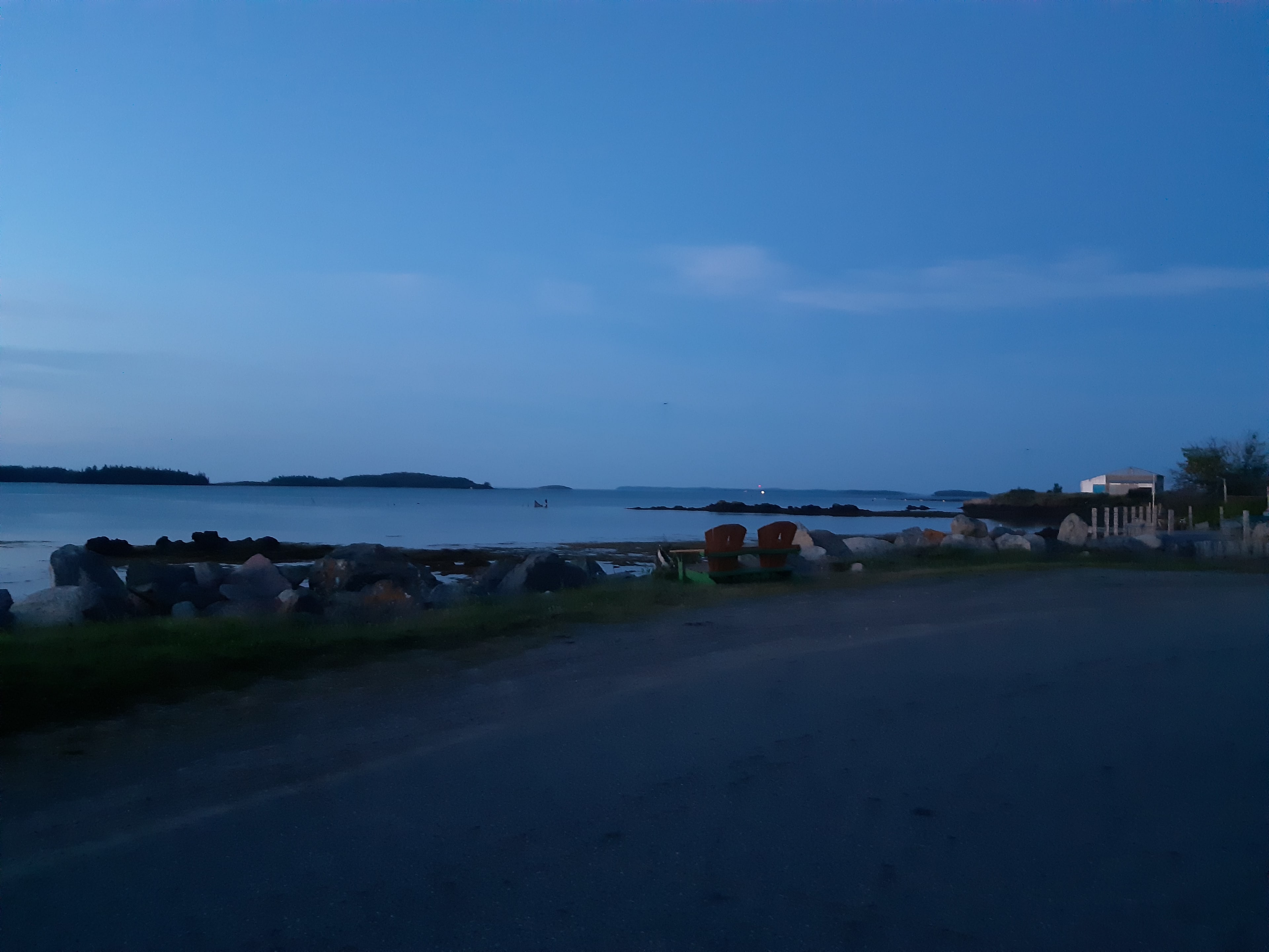
A
Ann
September 2025
20 ft Class C
Nice place - friendly host, watched big the tide come in. Quiet. One hour from Digby Ferry.
See more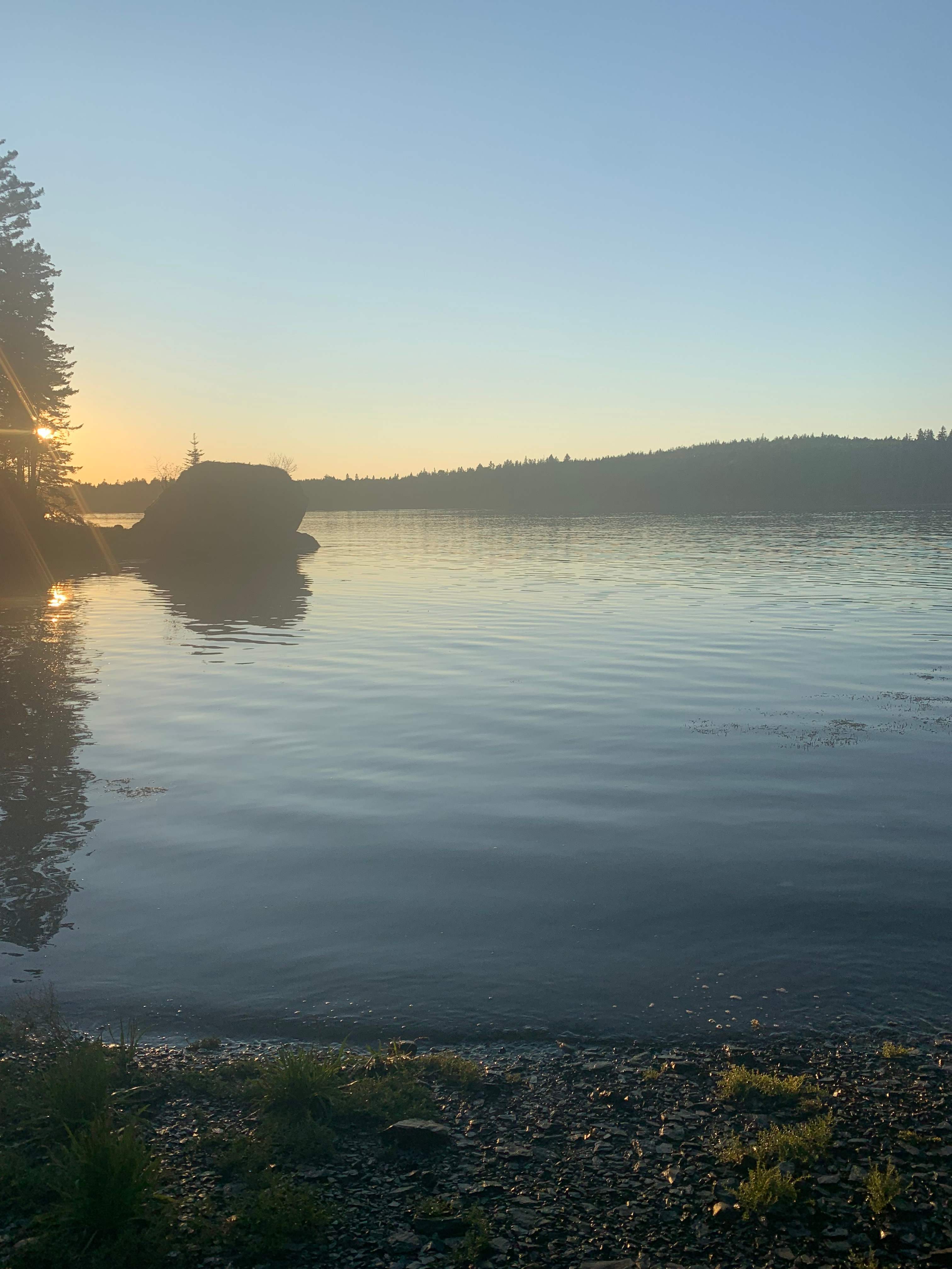
P
Patti
September 2025
25 ft Class C
With pets
A gem! Better than great, the mouth of the Magaguadavic is amazing! The tides, the land, the views. Being self-contained in our RV made it so easy to camp. Our two dogs loved it as well.
Recommend this for anyone looking to get back to nature and away from the crowds.
Kayaks and canoes available to rent.
Paul is a great host giving lots of info about the local town of St George.
See more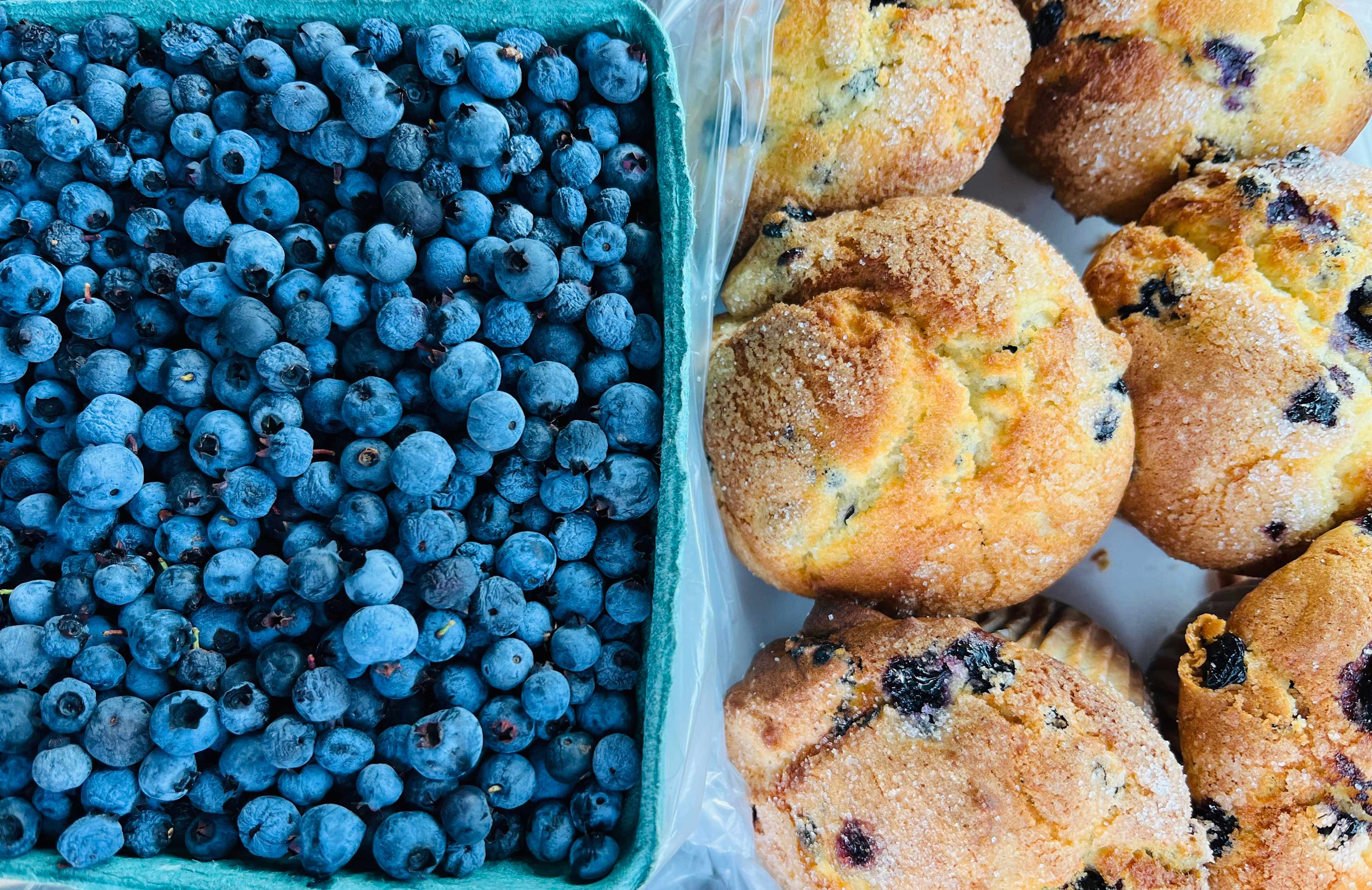
A
Alan
September 2025
20 ft Class B
With pets
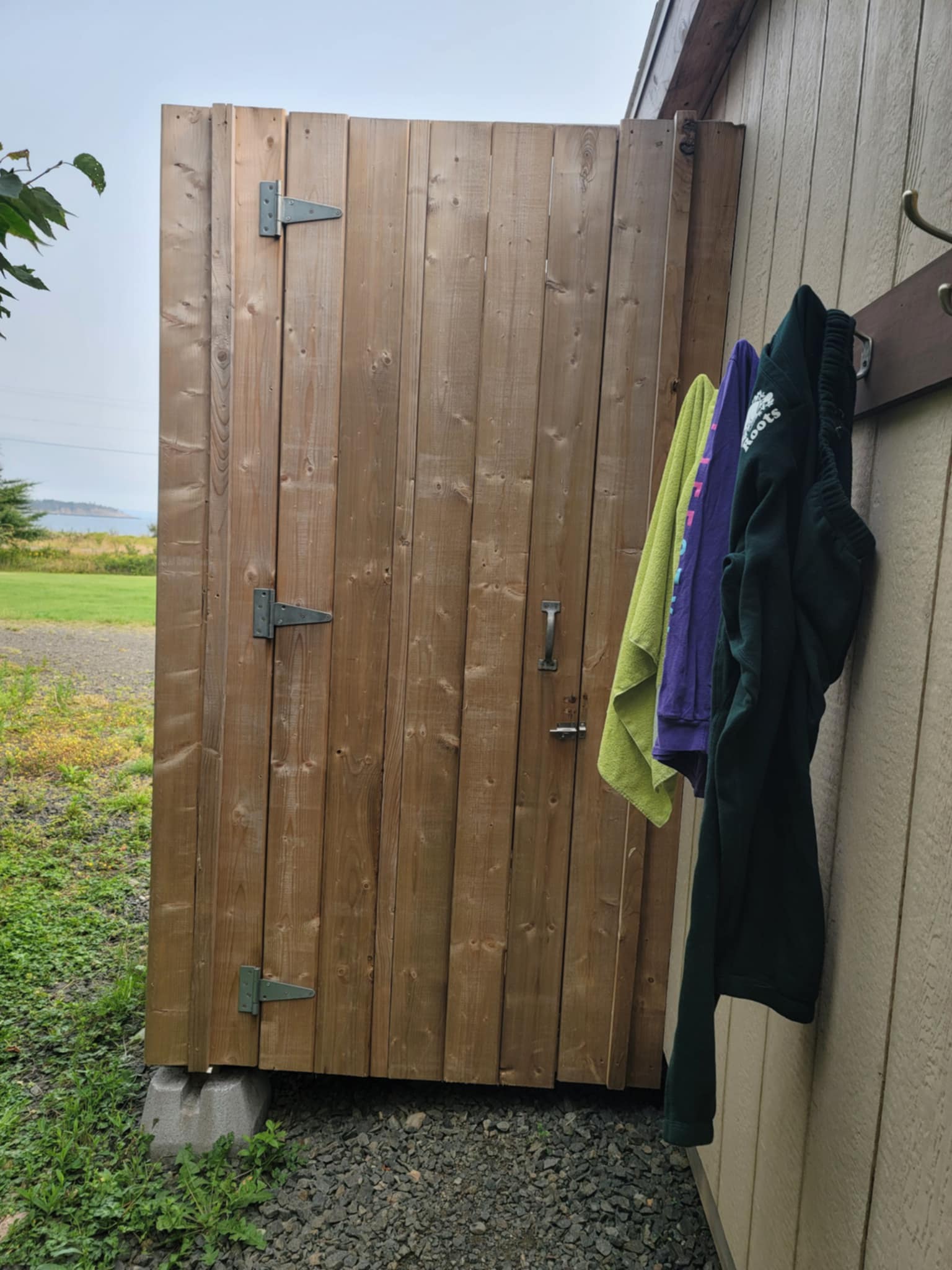
This location is right on the water with beautiful sunset and sunrise views! Very private and quiet with little light pollution for the best stargazing. Paul was extremely helpful with all sorts of information regarding things to see, history of the area, routes to take, and where to get the best blueberries and local food. The house previously experienced a fire but the bathroom was not damaged. Paul opened his bathroom to us for showers. He is a very nice and accommodating host.
See more
A
Alan
September 2025
Tent
Beautiful property right on the water. Convenient location. The host is very helpful with suggestions for things to do and see.
See more
T
Tyler
August 2025
24 ft Class B
With pets
This place is amazing, full stop.
All the experience of the tides of the Fundy Bay, and almost all to yourself.
Camped here two nights in our class C and wished we could have stayed longer. The property is beautiful and magical. The sites are spread out and there are a lot of them, each with its own unique features.
Paul is a wealth of information about the history and lore of the area and has great recommendations of things to do and see in the area.
Go out of your way to stay here if you can.
See more
C
Charlie
August 2025
Tent
Group trip
What a lovely spot! Paul couldn't have been more helpful. We were only passing through, but I'd love to come back to explore the area more.
See more
R
Rich
August 2025
21 ft travel trailer
We had an amazing time at Paul’s hipcamp and would highly recommend it! We had a beautiful view of the bay, sunrises and sunsets! Kayaked in the bay and up the river to St George. Paul was super friendly and welcoming! Several times we said it was our favourite campsite and we have done a lot of camping!!
See moreThe best camping in Hubbards Provincial Park, NS guide
Overview
About
Hubbards Provincial Park is a treasure trove of natural beauty and outdoor adventure. Here, visitors can immerse themselves in a variety of activities, from hiking along picturesque trails to kayaking on serene waters. The park's diverse landscape offers a perfect backdrop for bird watching and photography, ensuring every moment is filled with discovery and wonder.
When to go
The ideal time to visit Hubbards Provincial Park is during the summer months, from June to August, when the weather is warm and the park is in full bloom. Fall also offers a stunning display of colours, making September a picturesque time for a visit. Winter can be harsh, and some areas may be inaccessible due to snow.
Know before you go
- Check the weather forecast before your visit to ensure a safe and enjoyable experience.
- Be aware of park hours, typically from 8:30am to 5pm, and plan your activities within this timeframe.
- Wear appropriate footwear for hiking, as trails can be rugged and uneven.
- Remember to bring water and snacks, as facilities may be limited within the park.
- Respect wildlife and maintain a safe distance at all times.
Be the first to review
Share your experience here to help other campers.
