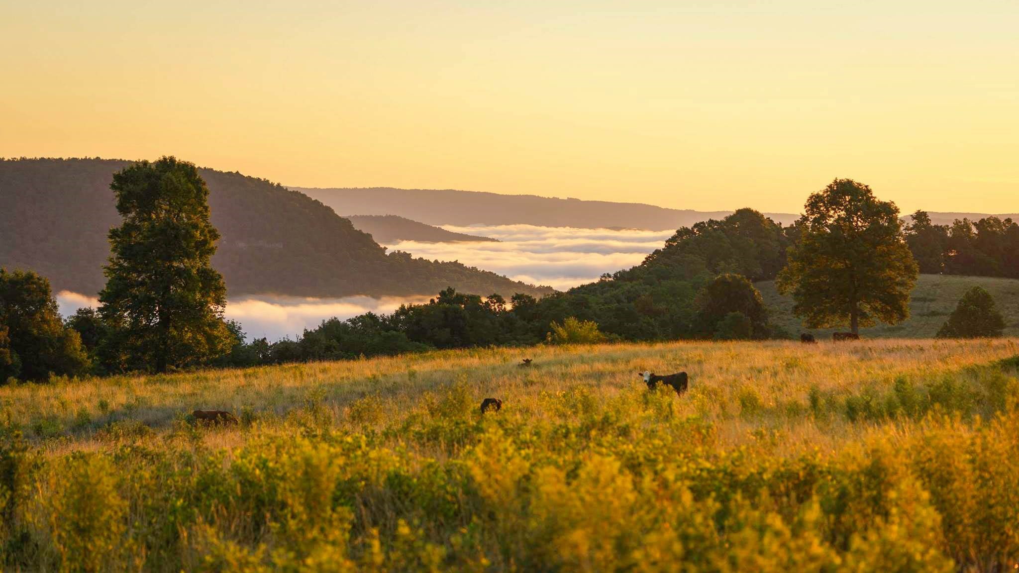
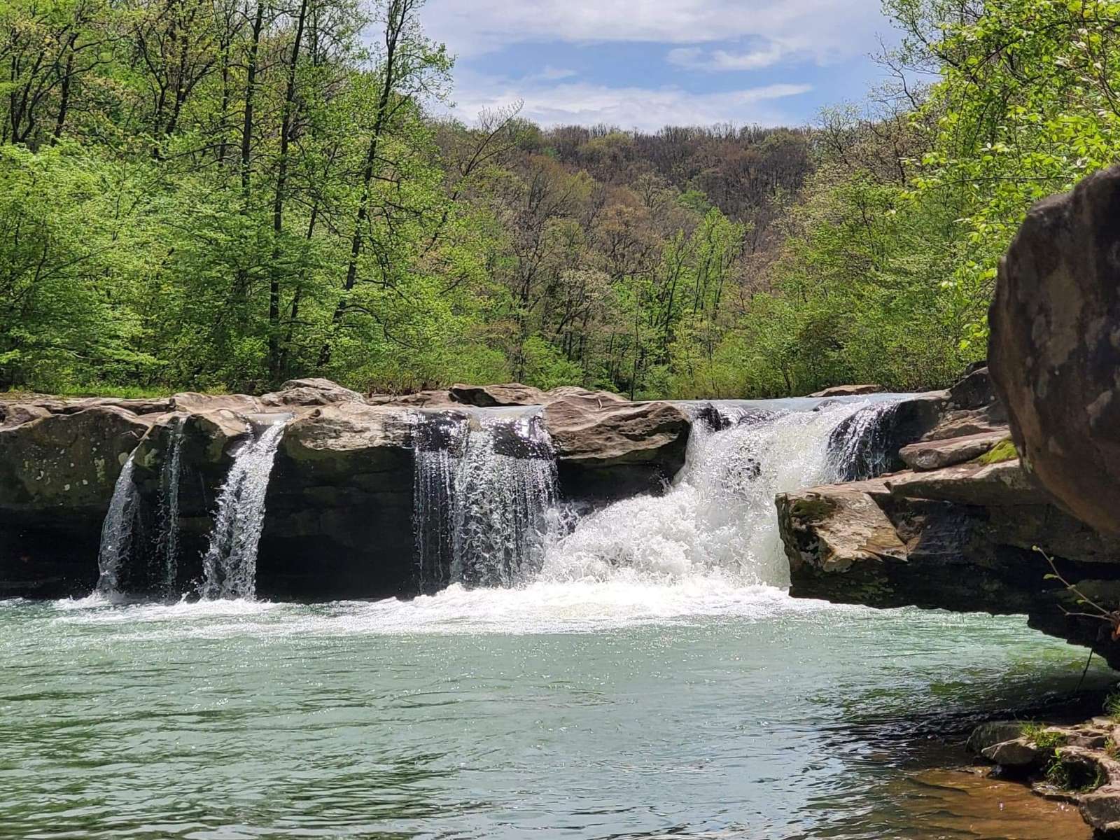
40 acres hosted by Andre L.
4 tent sites
Nomadic camping
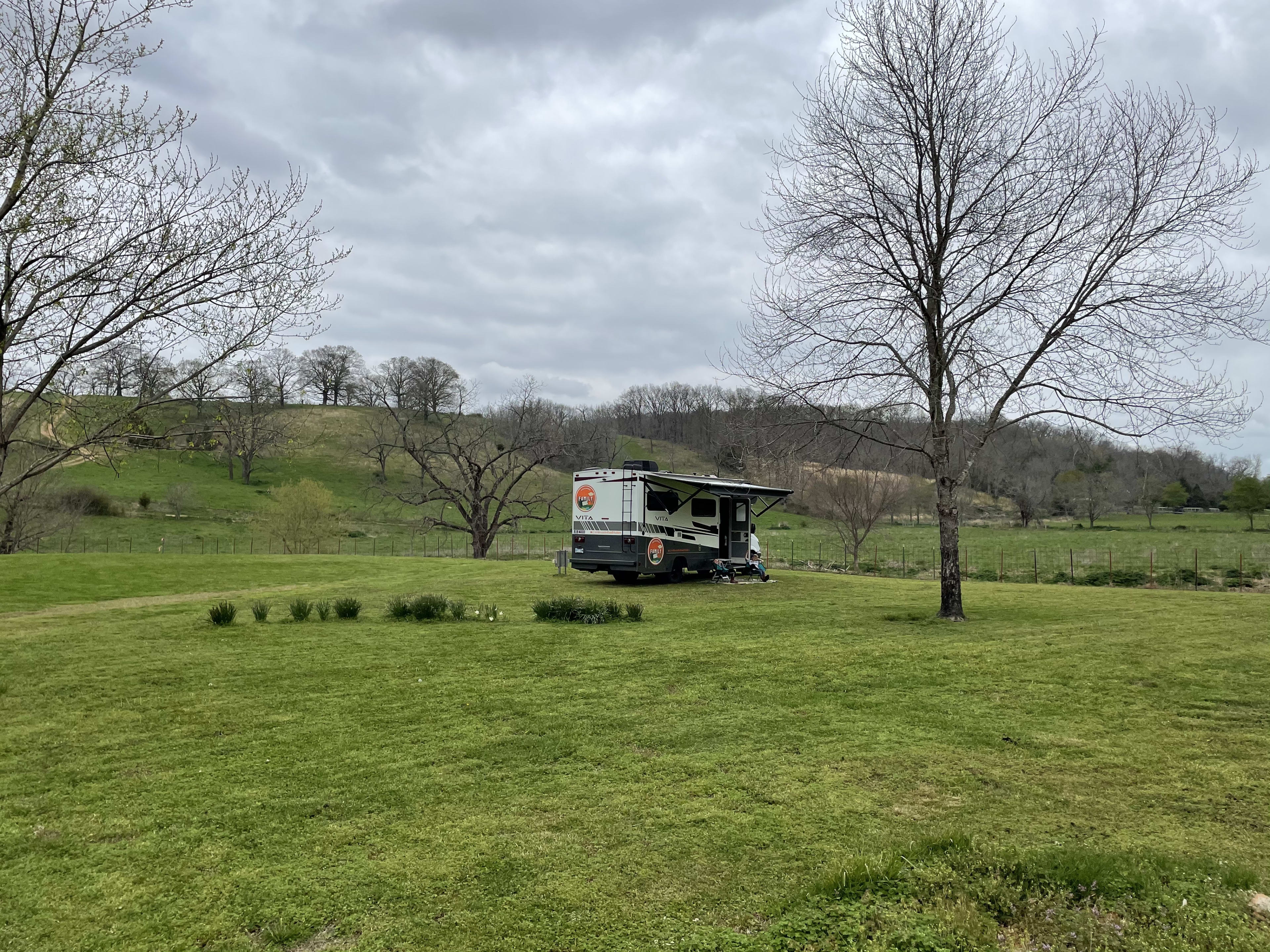
Best for self-contained campers. There are no toilets, showers, or potable water at this Hipcamp.
Off-leash friendly
Pets can be off-leash at this Hipcamp.
Learn more about this land:
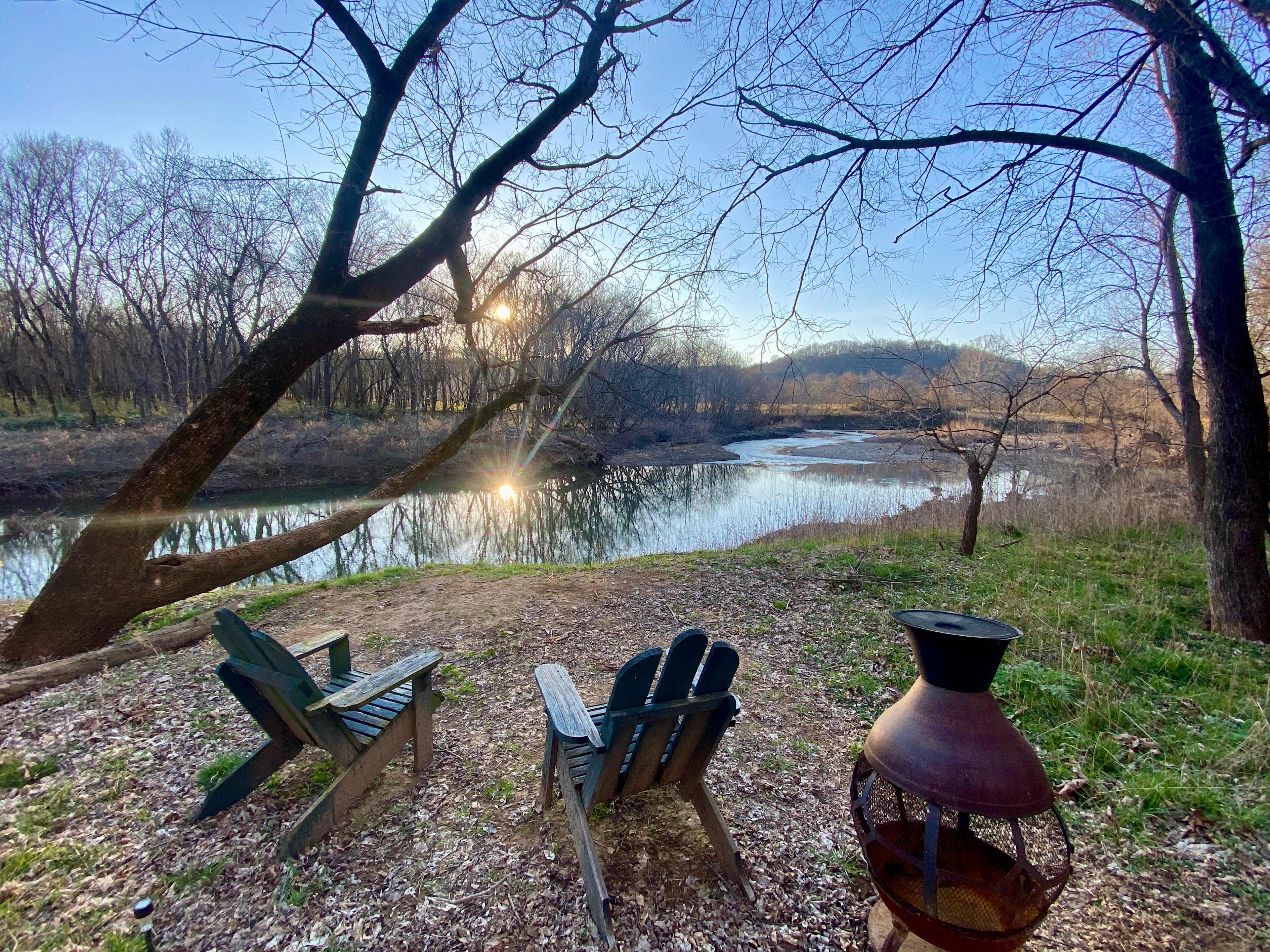
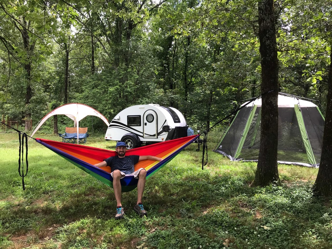
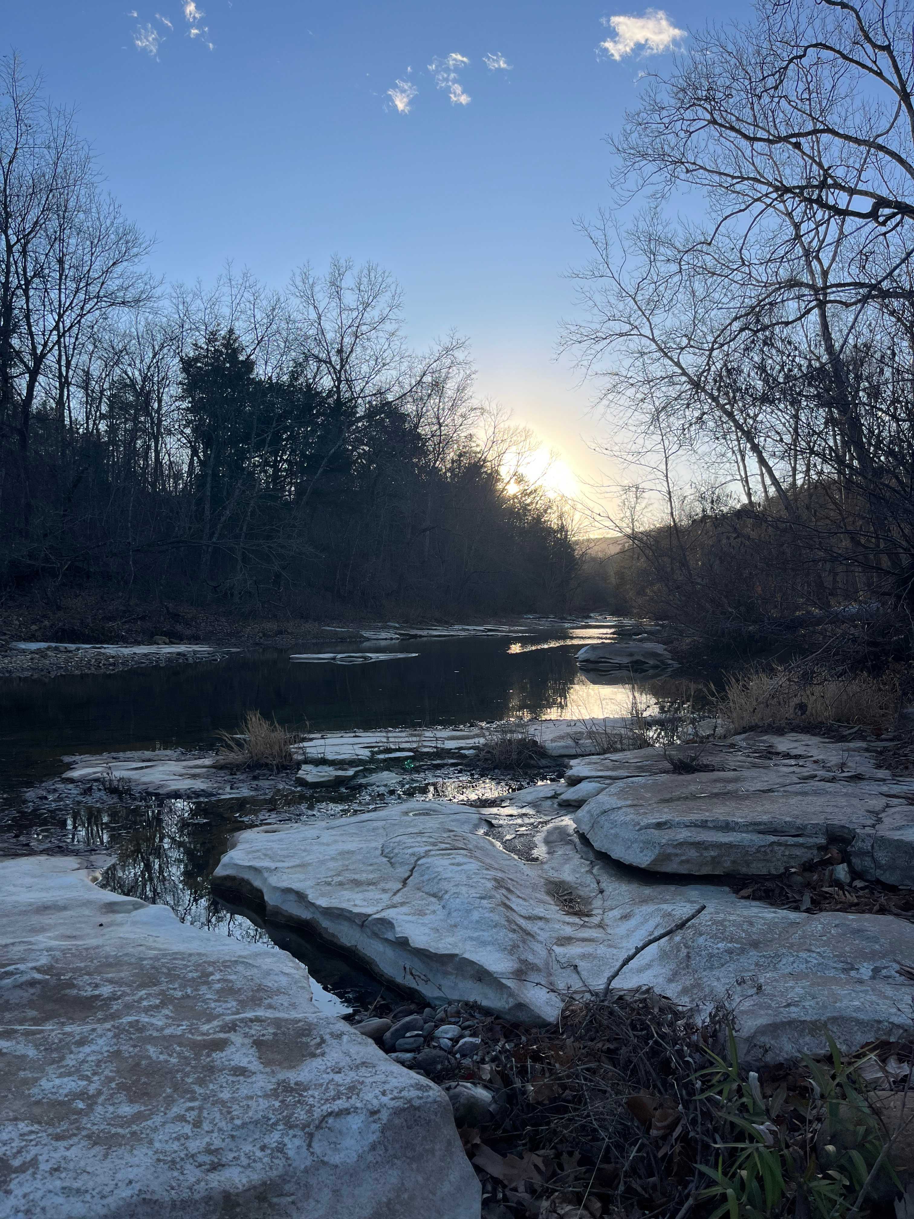
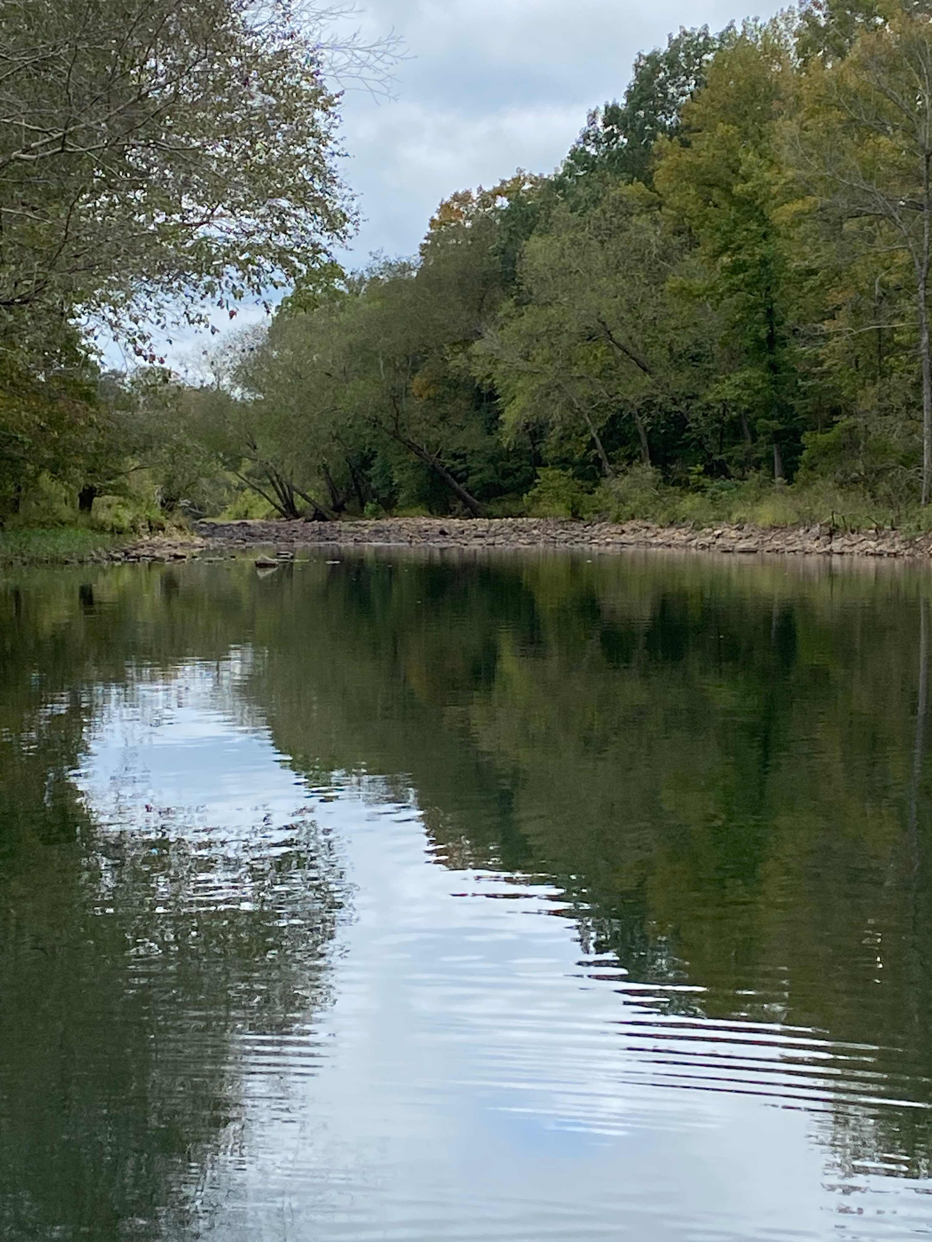
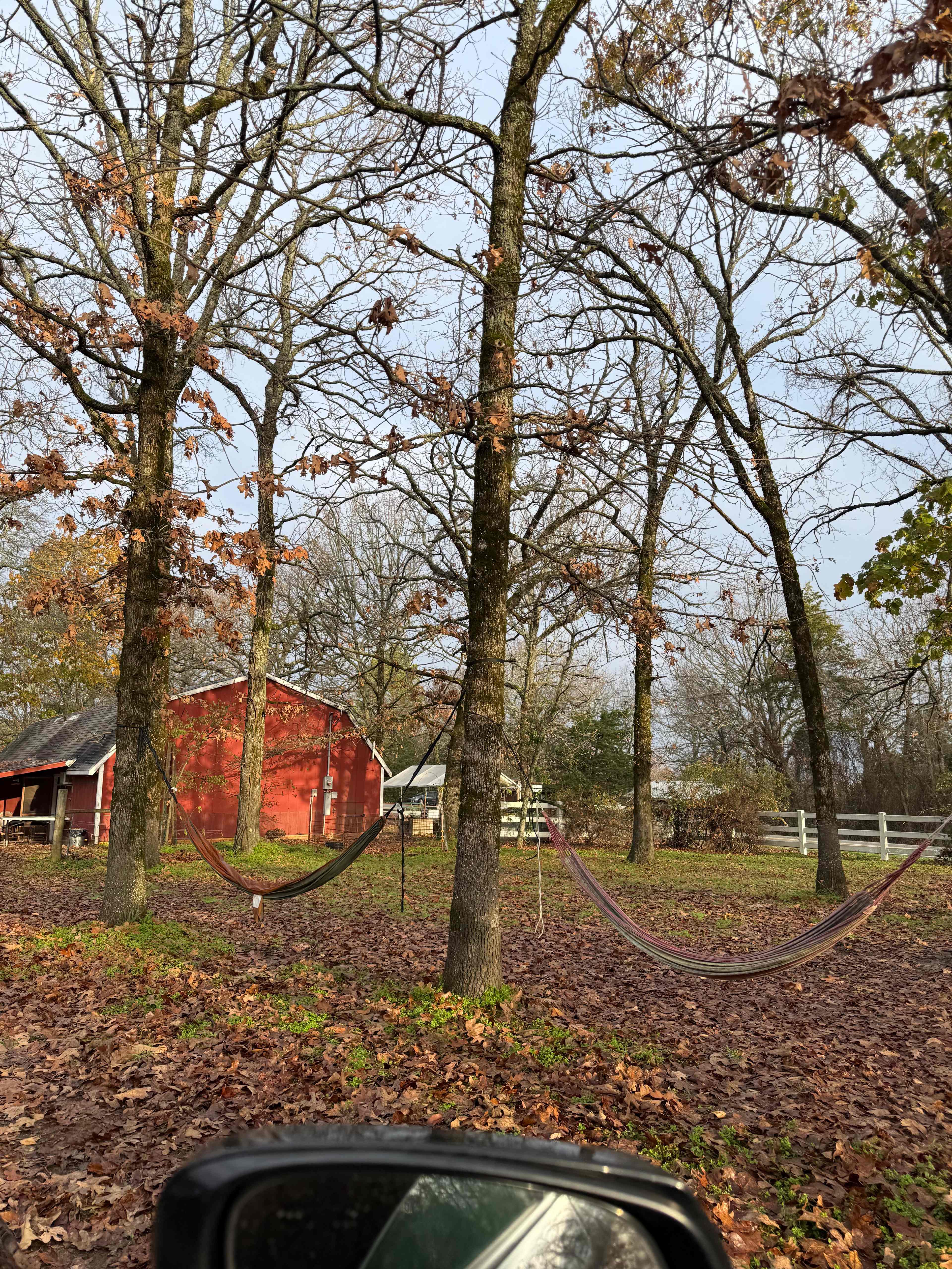
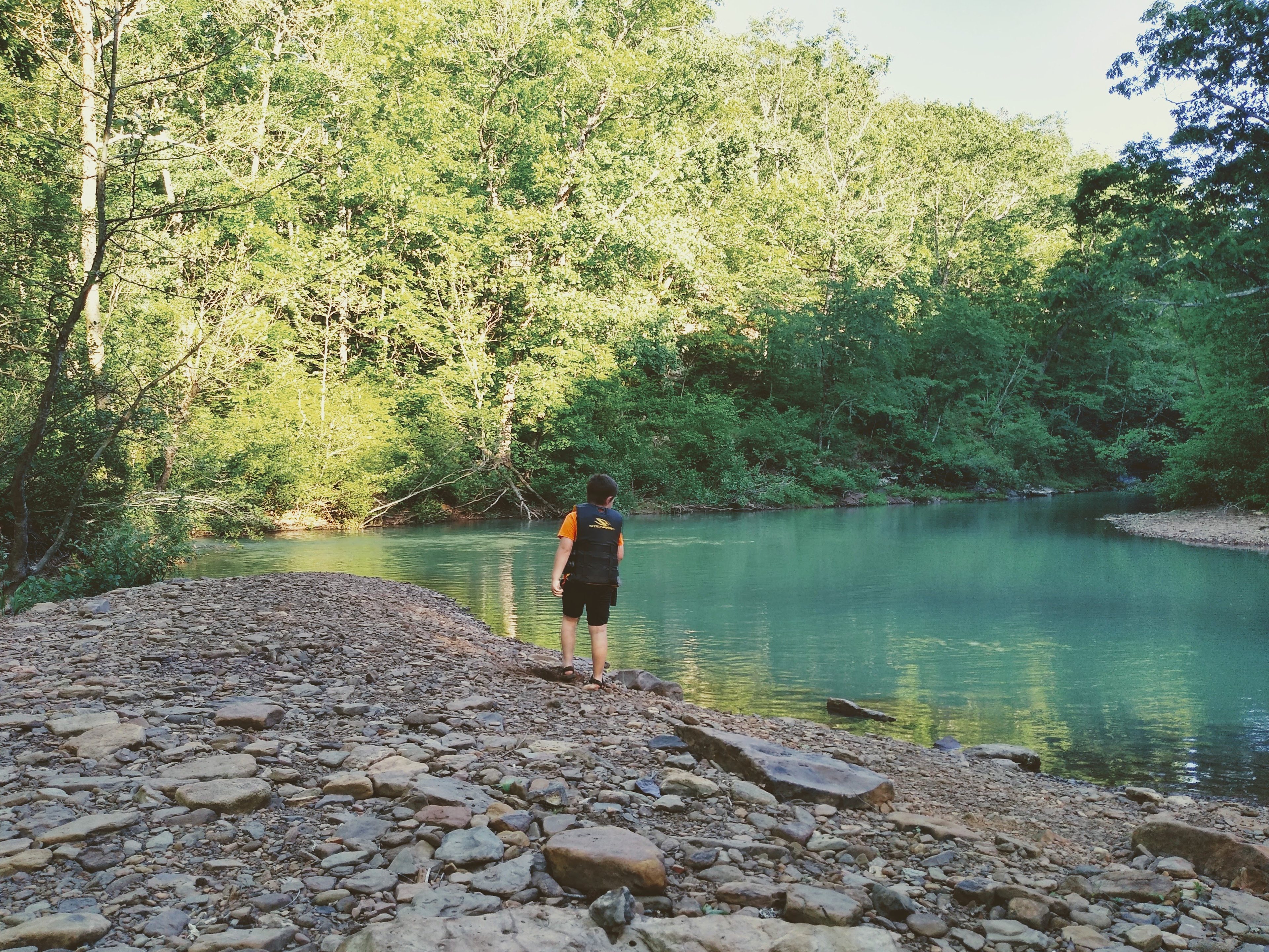
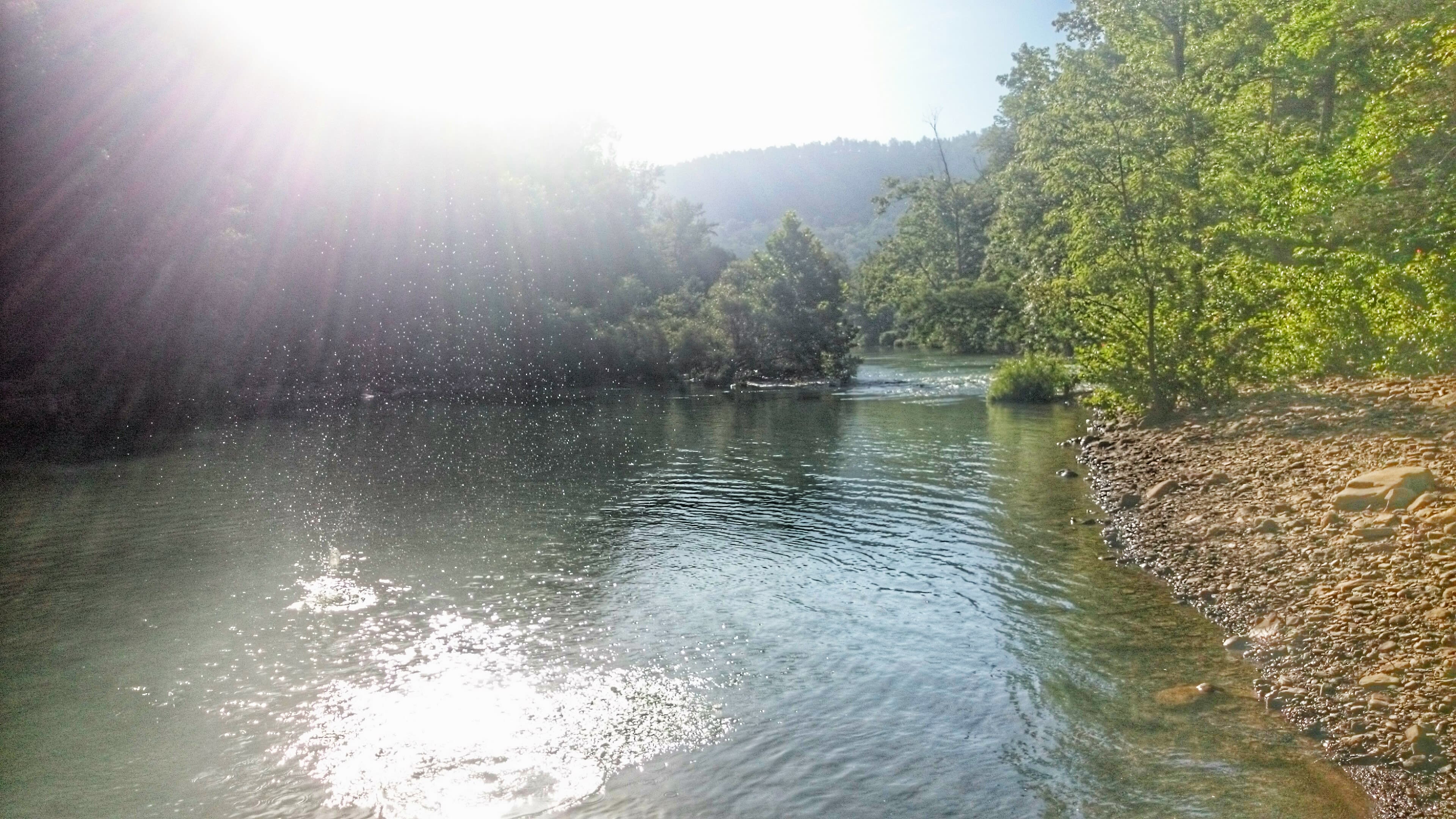
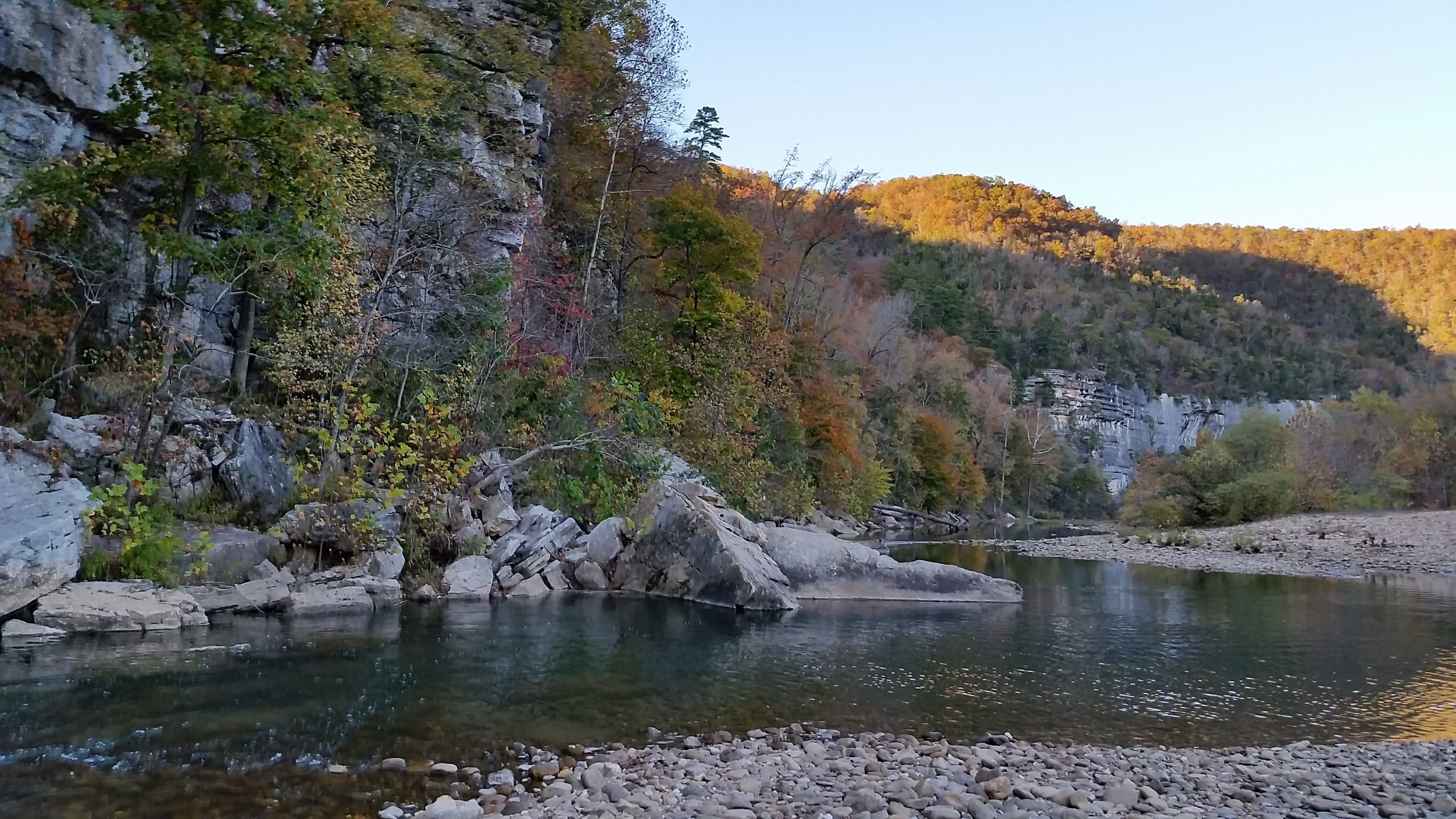
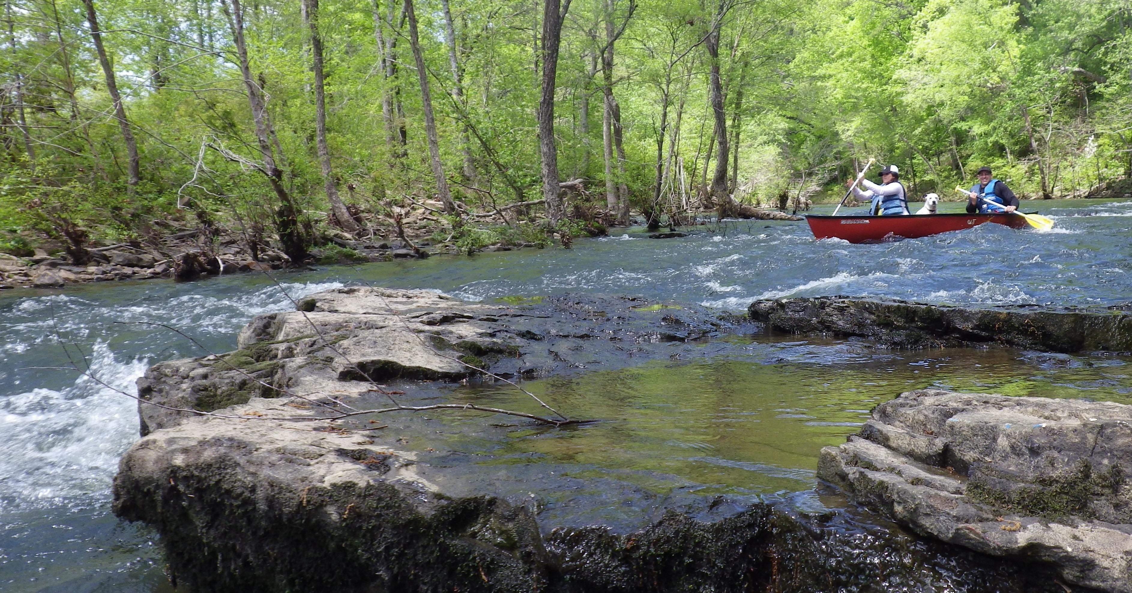
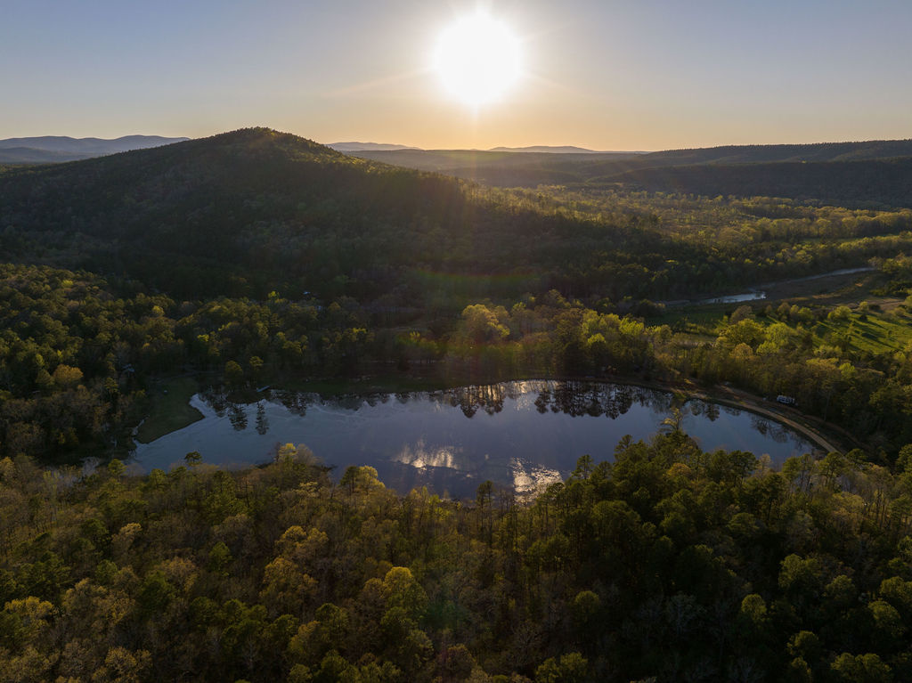
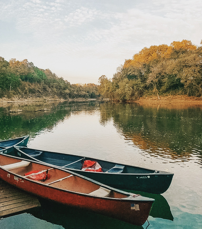
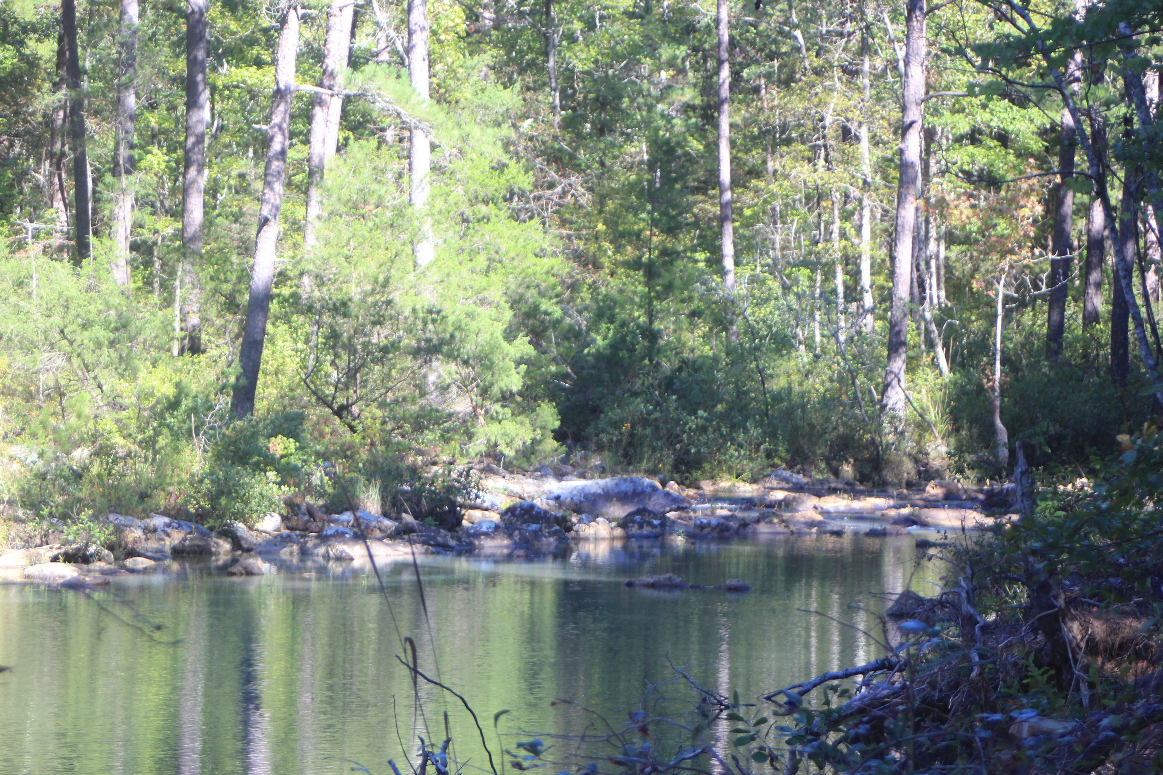
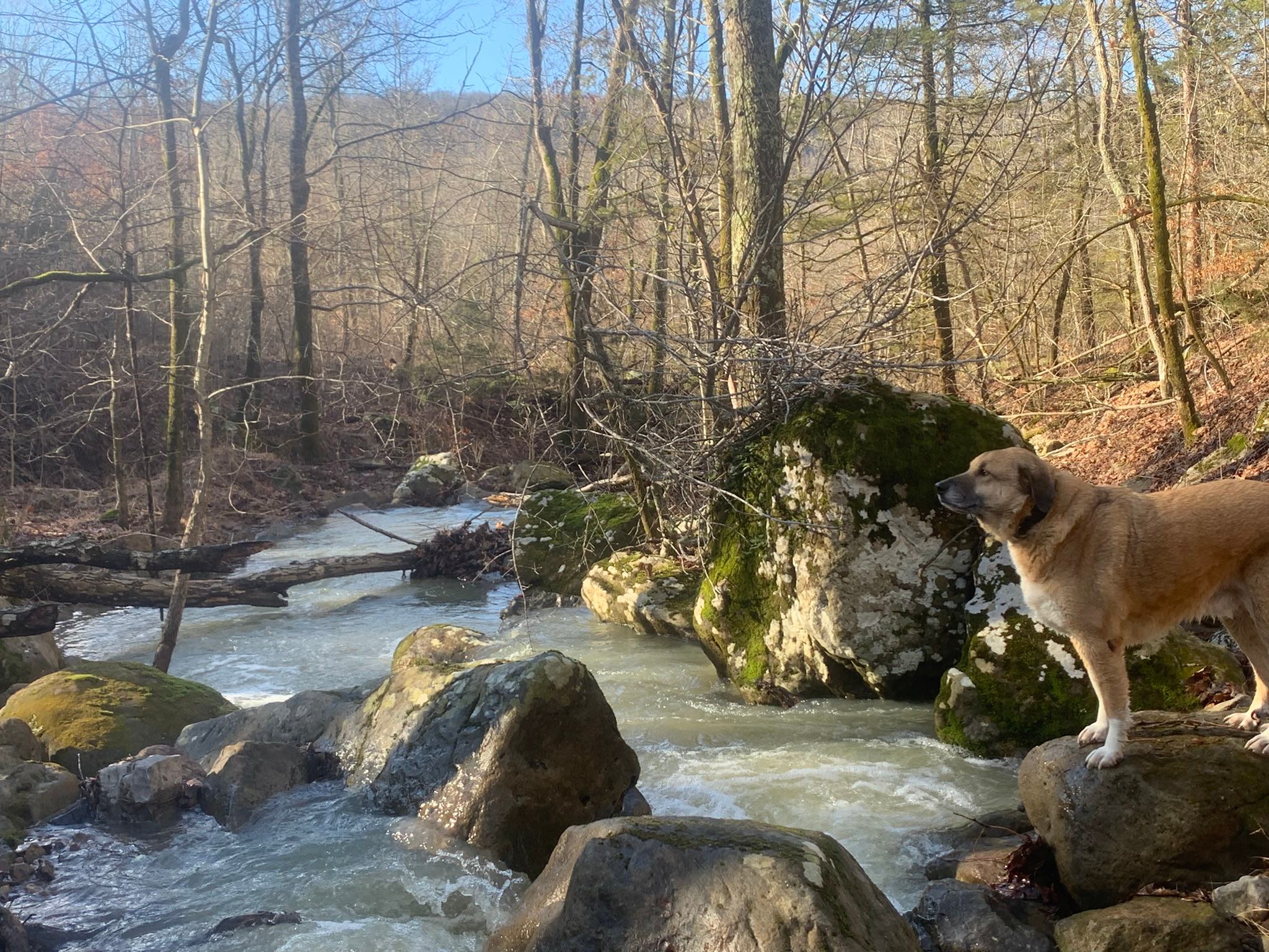
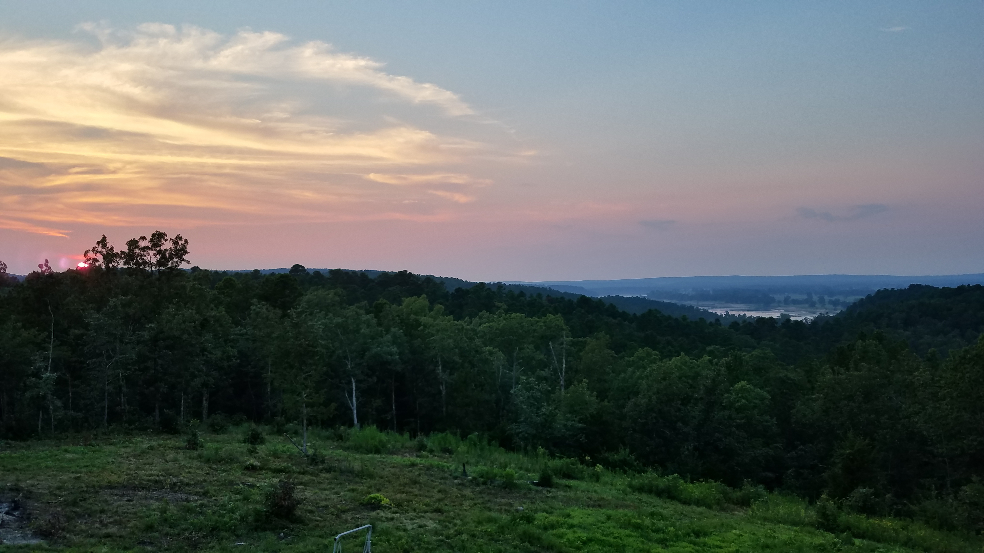
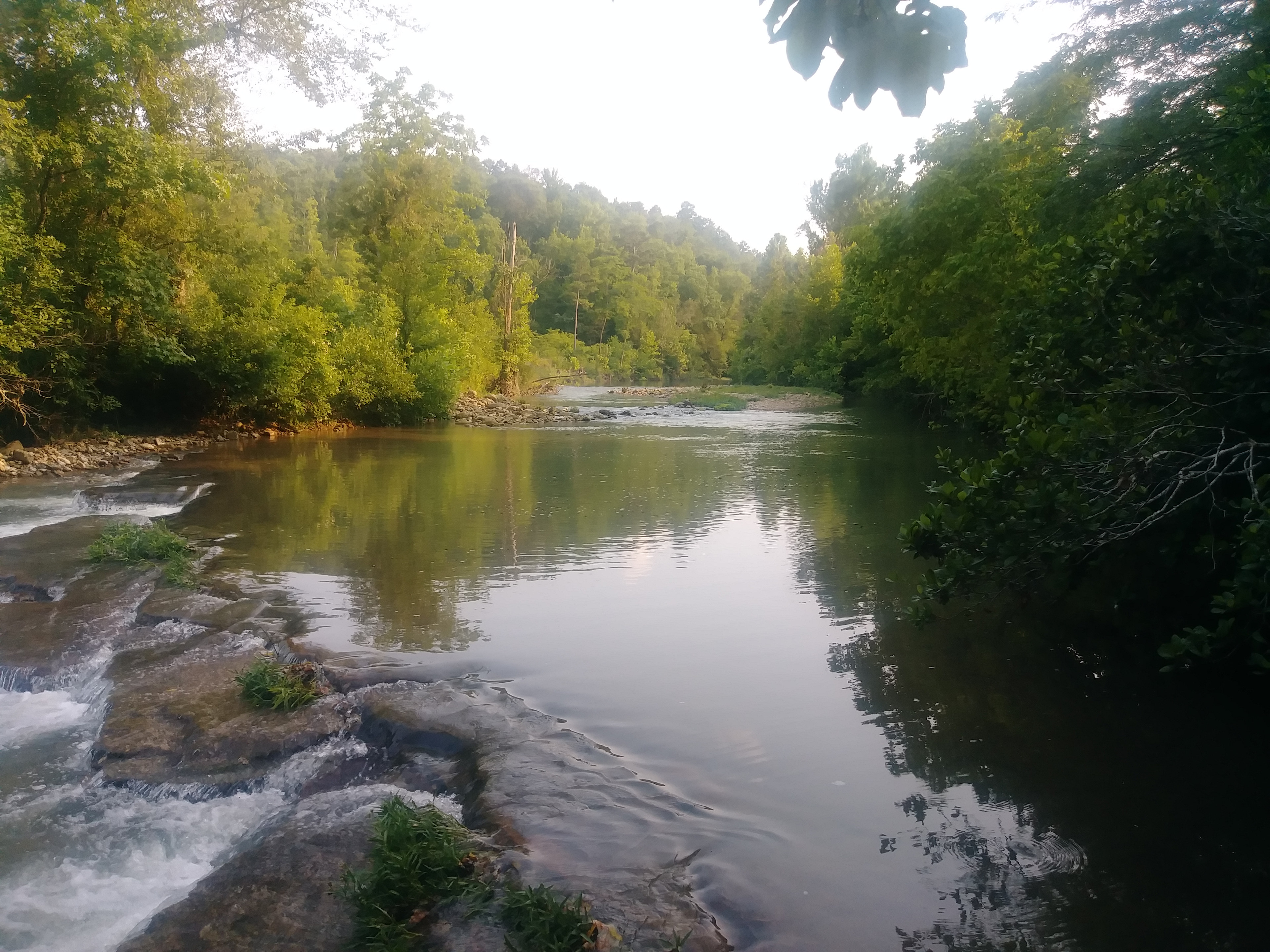
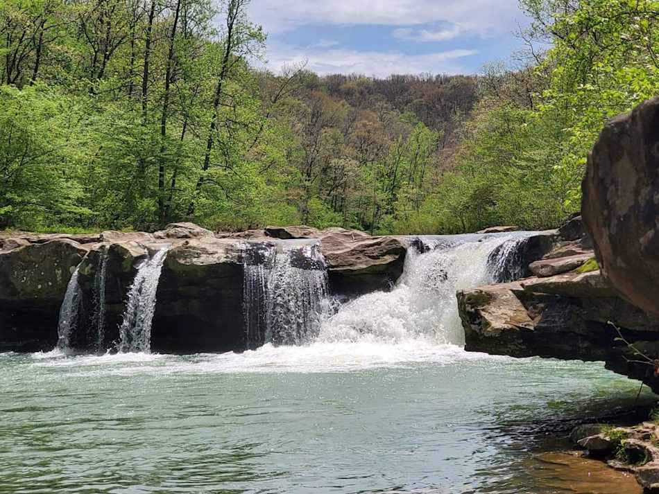
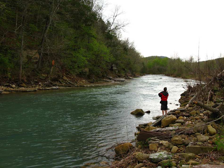
Creek side camping along Calf creek or hammock camp anywhere ya want.
FIRST THE WARNINGS:
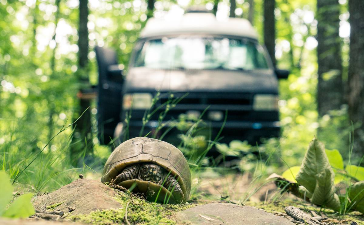
1................ THE ROAD IN IS STEEP AND ROUGH. 4X4 NOT Absolutely NECESSARY BUT highly RECOMENDED. Any high clearance vehicle will make it. like 2 wheel drive trucks, awd vans or suvs. but safety first and take it slow. Street sedans will bottom out and you may get stuck. My friends Camri made it in and out but he scraped the frame alot and it broke his front valence.
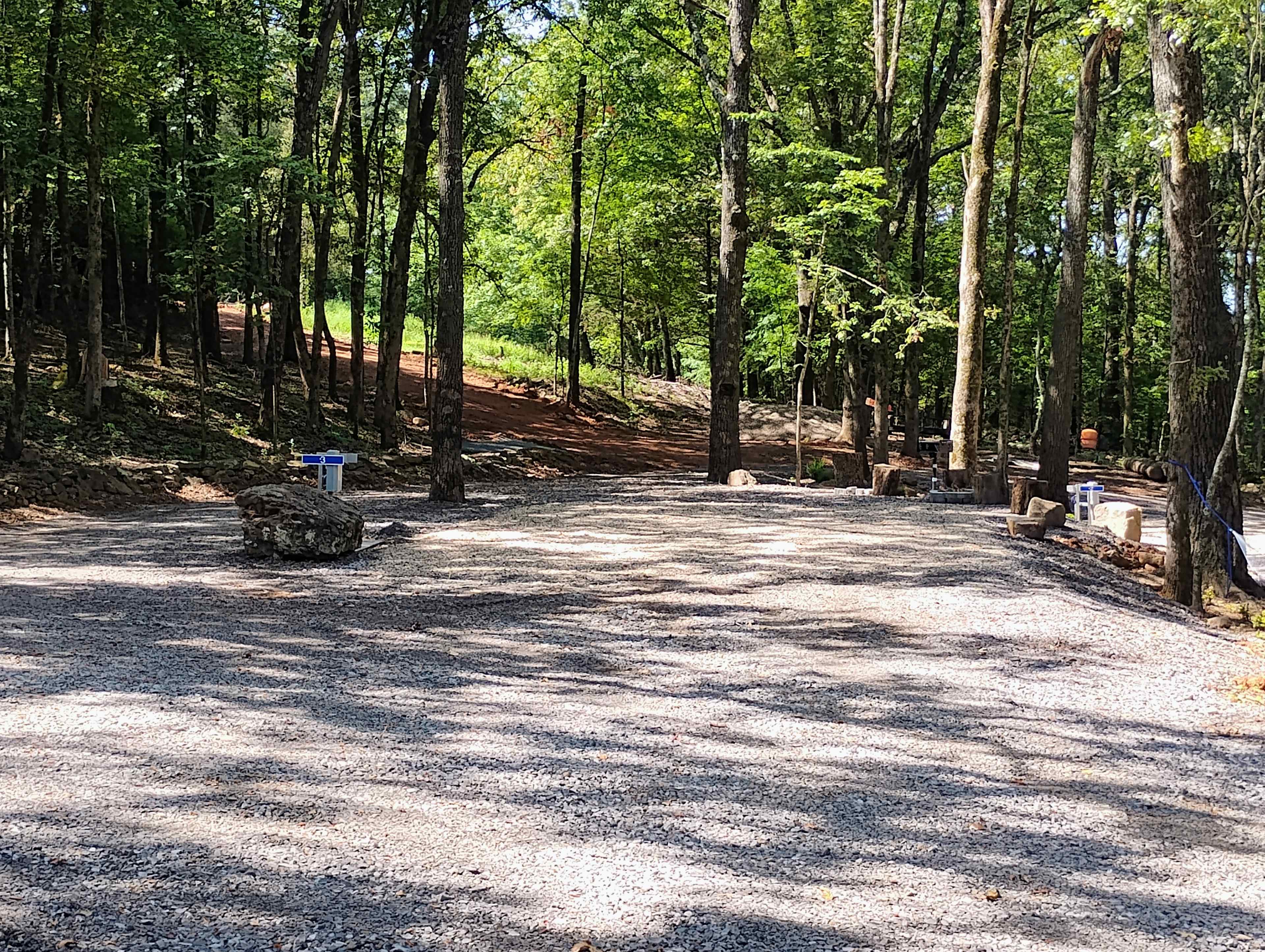
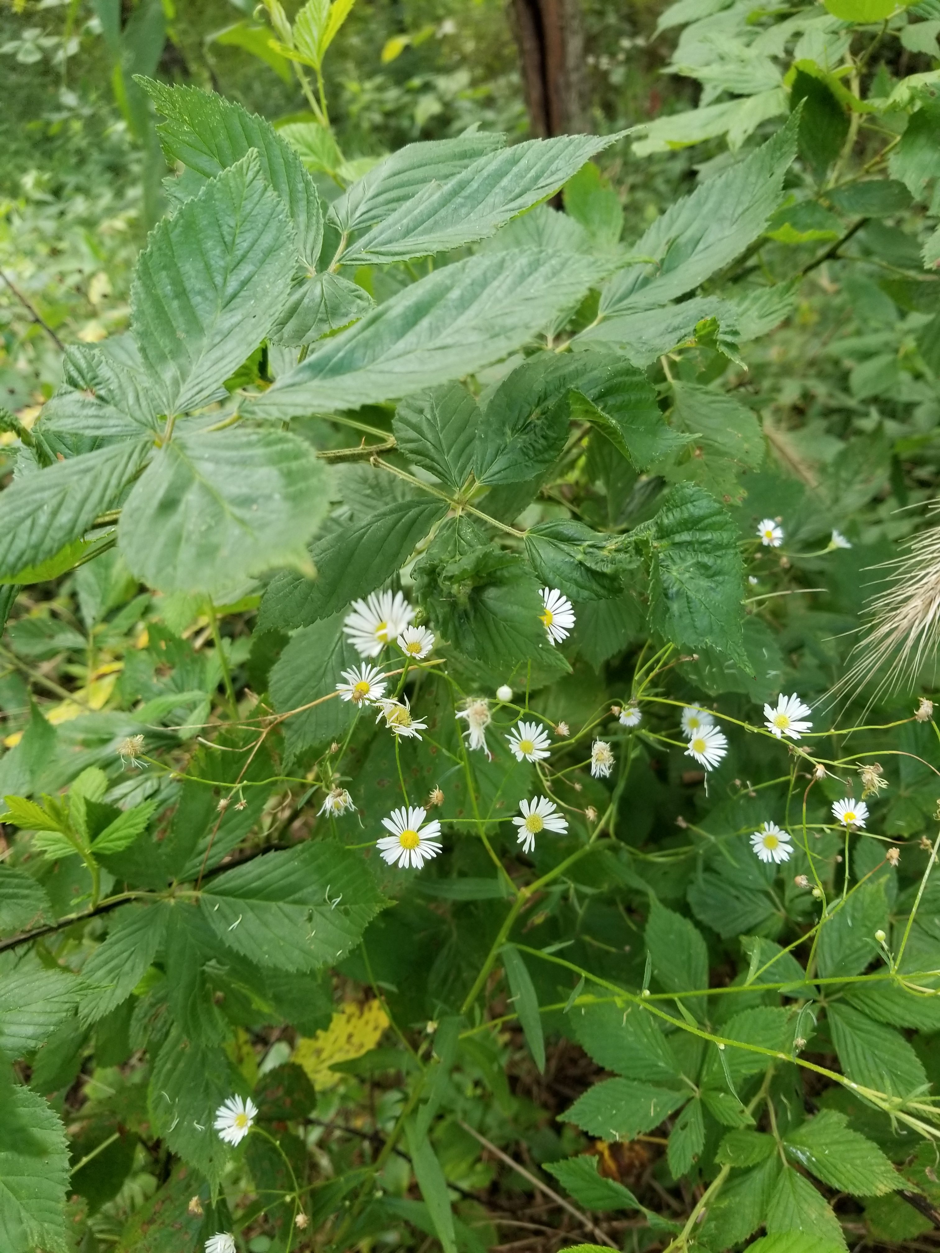
2............... This is primitive camping. in the bottom of the valley... sites marked 1,2 and 3 offer larger flat areas for several tents and hammocks. but they have not had trails FULLY cut to them so you have to pick your way through SOME bramble vines to them.
Its not too difficult though . Once in though, you will see why the were picked. Off road parking areas for 1 and 3 have not been established yet. So you will have to park along road an walk your gear in.
3................. if it rains heavily for long periods, like all day and night and again the next day.... site 1 could flood . be prepared to move to higher ground.
Base camp and site 2 will be safe but might get cut off from scenic drive. because Both Calf creek and Magic Springs feeder stream WILL swell and might trap you there for a day or so until the water goes down. Just be aware of the forcast.
SITE DESCRIPTIONS:
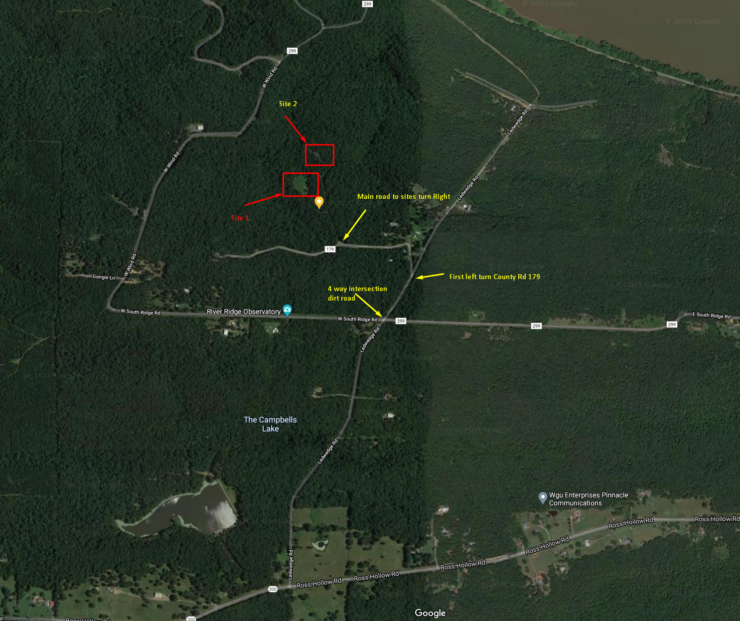
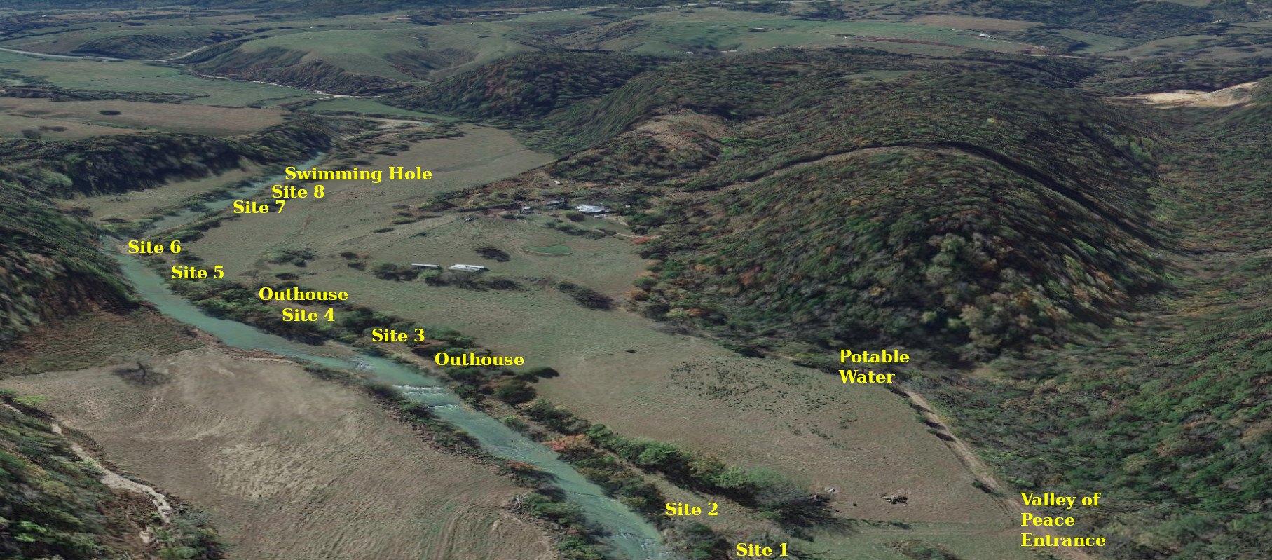
Site 1 is the closest to Calf creek and the lowest in elevation, with some real nice spruce and large pine trees around the site. A nice site for creek views and easy water access. but you have to carry your gear in past the initial brush from the road.
If you take a right at Strike Back road and it will take you across Magic Spring feeder. Follow the road around to the high spot and you will see an old logging road spur off into the woods. there is room to maneuver a cpl of trucks in there and get off the road itself. and you will be at what i call Base Camp. It is the second highest in elevation and not in the flood plain itself like site 1.
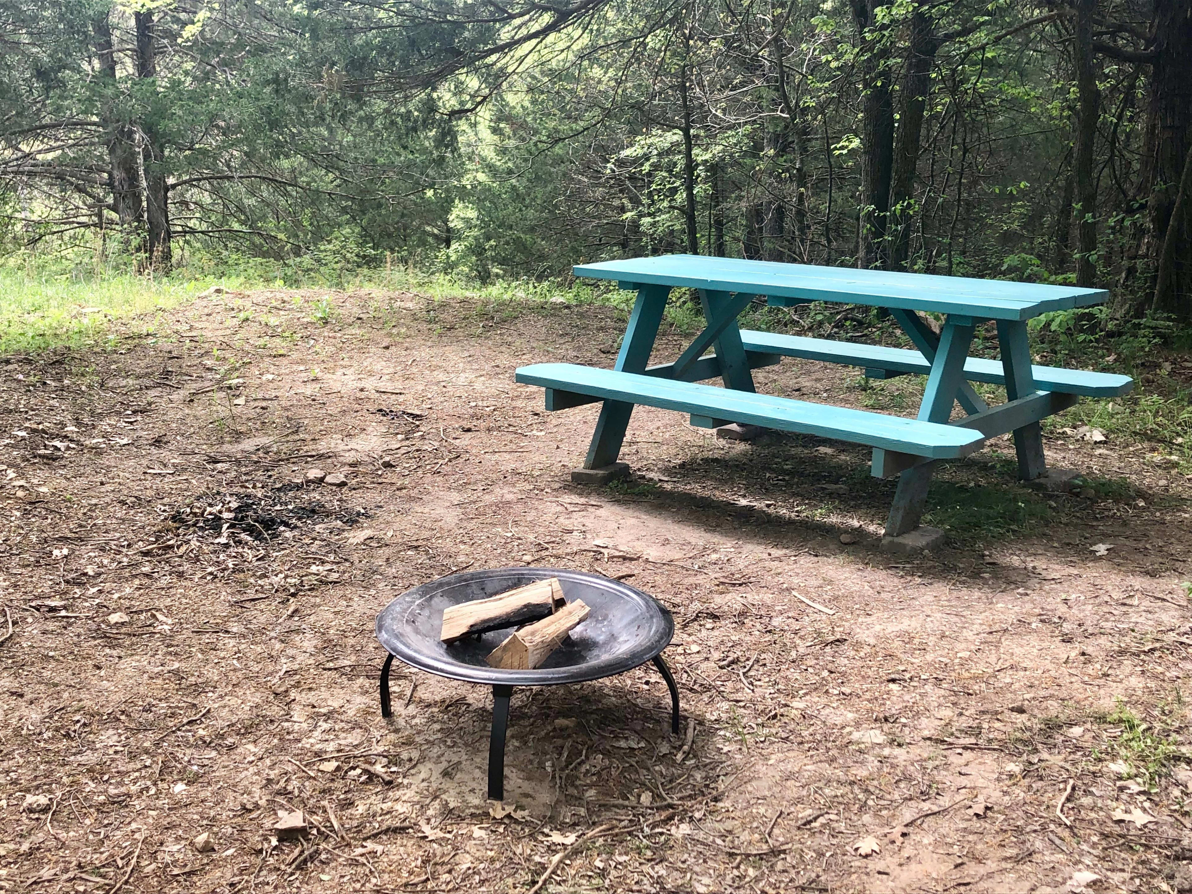
The red site marked "base camp" is the most cleared and has parking for 2 vehicles maybe 3 if your creative. This is where i camp when i go and work on property. Thus its the most cleared of brambles. it a great spot and safely above the creek.
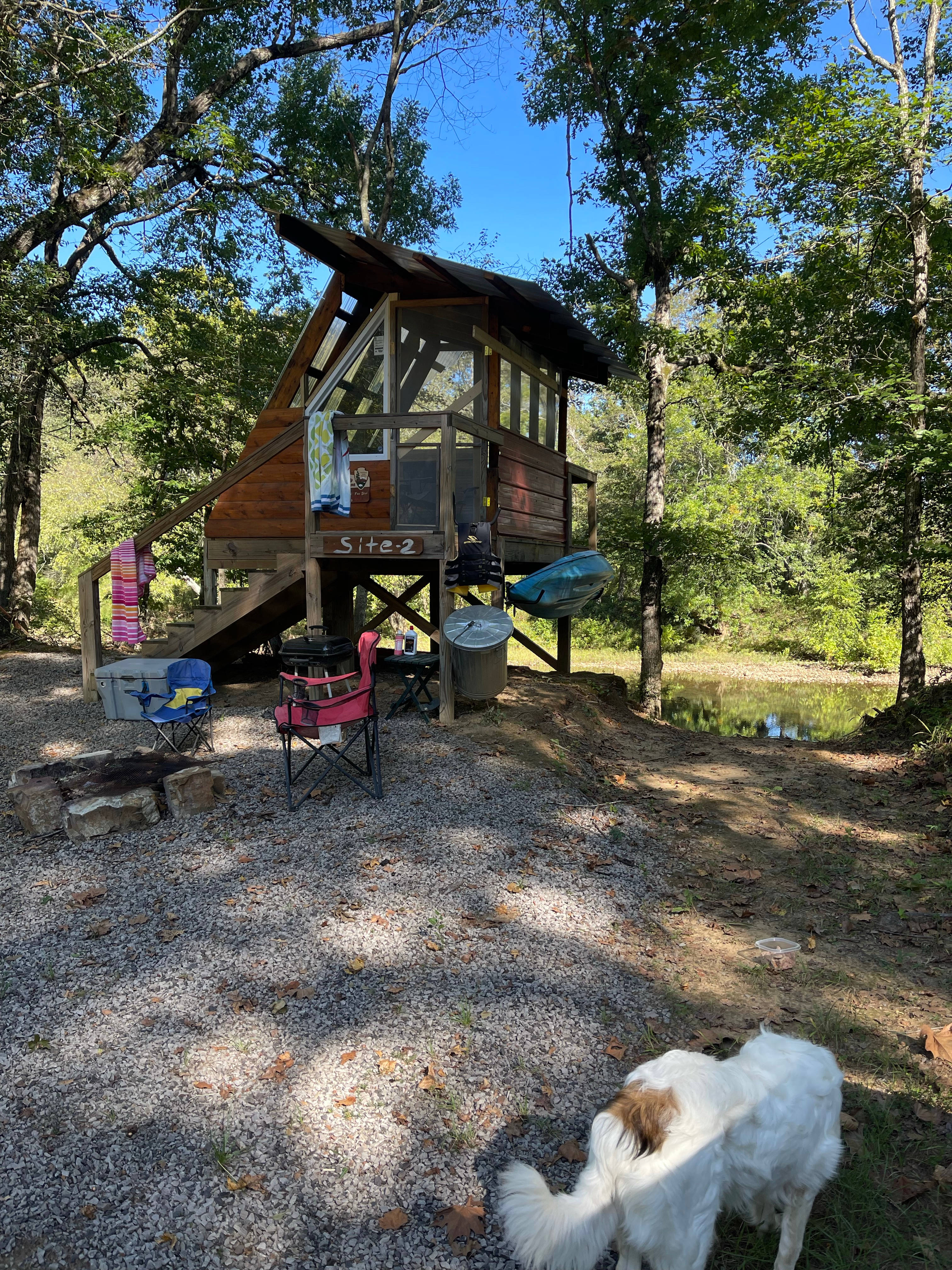
site 2 is further up the logging road from "base camp" about 50 yards past and has a clearer view of the sky with fewer trees overhead. cars are not allowed past the parking spots of base camp.
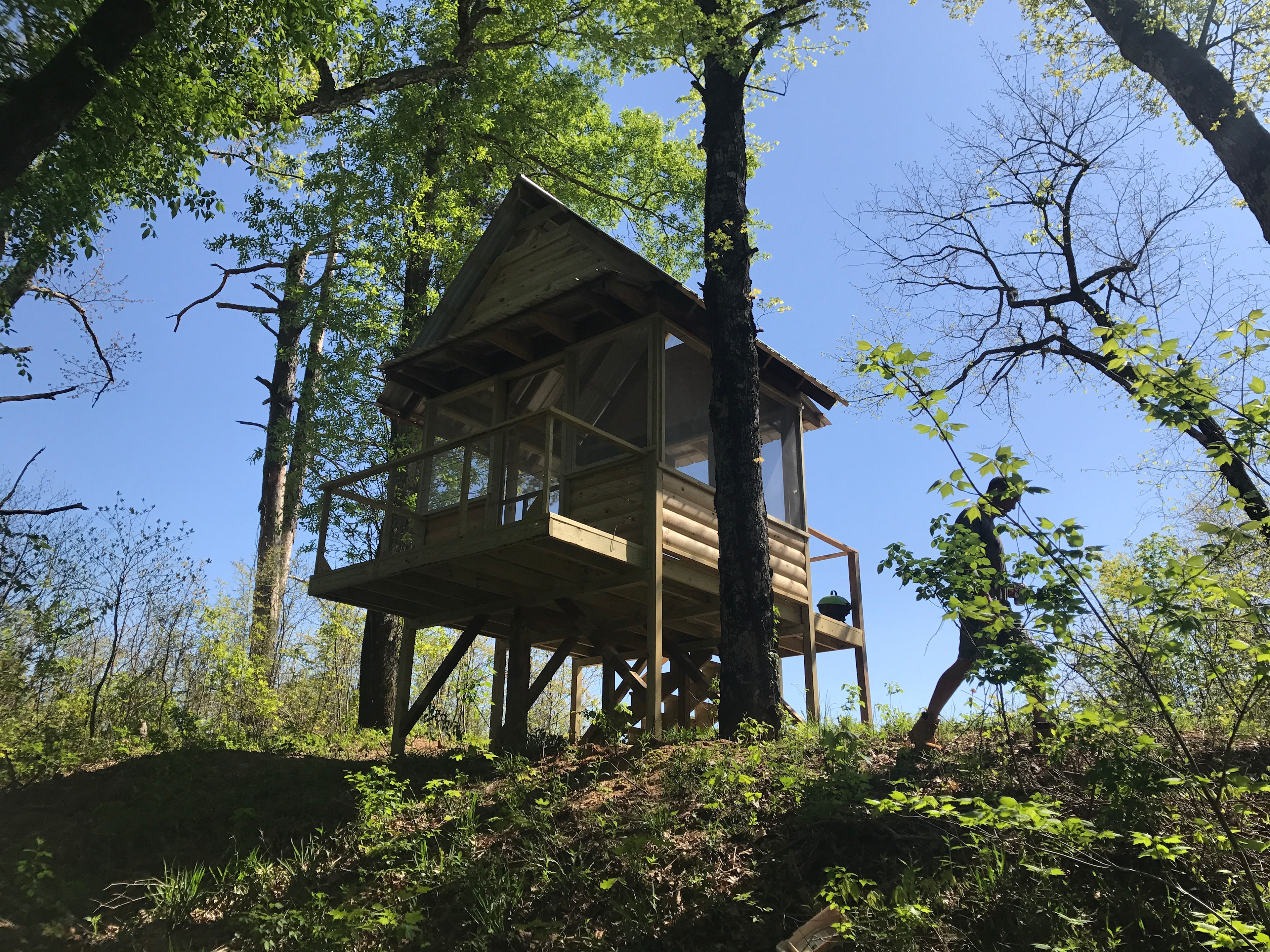
site 3 is up mushroom lane. Once you reach the gps coordinates on your way in. its a left turn off of scenic drive. just a post marks it for now as someone stole the sign of course. this is a 4x4 trail for sure. it dead ends so parking on the trail is ok. it is well above the creek and rain or creek swell is no threat.
As we are in the very first stages of development, no cat holes please. anything requiring toilet paper, please use approved bio-waste bags and take them with you when you leave. thank you. However if all goes well ,eventually we do plan on a pit toilet and a hot water shower house and disc golf course. not necessarily in that order but we'll see.the road in is rough and steep. 4x4 or awd is recommended. creek side camping along calf creek or hammock camp anywhere ya want. no cat holes please. use approved bio-waste bags and take them with you when you leave. thank you.
Creek side camping along Calf creek or hammock camp anywhere ya want.
FIRST THE WARNINGS:
1................ THE ROAD IN IS STEEP AND ROUGH. 4X4 NOT Absolutely NECESSARY BUT highly RECOMENDED. Any high clearance vehicle will make it. like 2 wheel drive trucks, awd vans or suvs. but safety first and take it slow. Street sedans will bottom out and you may get stuck. My friends Camri made it in and out but he scraped the frame alot and it broke his front valence.
2............... This is primitive camping. in the bottom of the valley... sites marked 1,2 and 3 offer larger flat areas for several tents and hammocks. but they have not had trails FULLY cut to them so you have to pick your way through SOME bramble vines to them.
Its not too difficult though . Once in though, you will see why the were picked for future development. Off road parking areas for 1 and 3 have not been established yet. So you will have to park along road an walk your gear in.
3................. if it rains heavily for long periods, like all day and night and again the next day.... site 1 could flood . be prepared to move to higher ground.
"Base camp" and site 2 will be safe but might get cut off from scenic drive. because Both Calf creek and Magic Springs feeder stream WILL swell and might trap you there for a day or so until the water goes down. Just be aware of the forcast.
SITE DESCRIPTIONS:
Site 1 is the closest to Calf creek and the lowest in elevation, with some real nice spruce and large pine trees over and around the site. A nice site for creek views and easy water access. but you have to carry your gear in past the initial brush from the road.
If you take a right at Strike Back road and it will take you across Magic Spring feeder. Follow the road around to the high spot and you will see an old logging road spur off into the woods. there is room to maneuver a cpl of trucks in there and get off the road itself. and you will be at what i call Base Camp. It is the second highest in elevation and not in the flood plain itself like site 1.
The red site marked "base camp" is the most cleared and has parking for 2 vehicles maybe 3 if your creative. This is where i camp when i go and work on property. Thus its the most cleared of brambles. it a great spot and safely above the creek.
site 2 is further up the logging road from "base camp" about 50 yards past and has a clearer view of the sky with fewer trees overhead. cars are not allowed past the parking spots of base camp.
site 3 is up mushroom lane. Once you reach the gps coordinates on your way in. its a left turn off of scenic drive. just a post marks it for now as someone stole the sign of course. this is a 4x4 trail for sure. it dead ends so parking on the trail is ok. it is well above the creek and rain or creek swell is no threat.
As we are in the very first stages of development, no cat holes please. anything requiring toilet paper, please use approved bio-waste bags and take them with you when you leave. thank you. However if all goes well ,eventually we do plan on a pit toilet and a hot water shower house and disc golf course. not necessarily in that order but we'll see.