The best camping near Florida Caverns State Park

Discover the most magical spots to pitch your tent or park your rig on your next Florida Caverns State Park adventure.

The best camping near Florida Caverns State Park

Discover the most magical spots to pitch your tent or park your rig on your next Florida Caverns State Park adventure.

Camping near Florida Caverns State Park

100% (10 reviews)

Discover the most magical spots to pitch your tent or park your rig on your next Florida Caverns State Park adventure.

From stalactite-filled caves to forest trails, natural wonders lie under and overground.  

Popular ways to camp

Community favorites near Florida Caverns State Park

Top-rated campgrounds reviewed by the Hipcamp community.

Top-rated campgrounds near Florida Caverns State Park

97%
(462)

Goat House Farm

10 sites · Lodging, RVs, Tents4 acres · Tallahassee, FL
Goat House Farm is a 501(c)3 owned micro-farm in a rural area of Tallahassee on the beautiful Lake Talquin. The farm has its humble beginnings in the summer of 2015 with four acres, four goats, and four chickens. Founded on the love of animals and a passion for sustainability, we remain committed to compassionate practices and the most natural care of our land and animals as possible. As stewards of the land and herd, we believe we have a responsibility to share nature's blessings. We offer several agritourism opportunities on the farm, from farmstays to day visits. Our primary program is to serve area youth with agricultural education and the opportunities to work with our goats. All proceeds from bookings go toward our programming. It is our goal to create a space where our visitors can have fun and learn about the animals who share that space. We also strive to serve as a valuable resource for first time goat owners. To support that endeavor, we sell chicken eggs, specialty cottage goods, honey, and natural goat milk and honey products. We also sell raw goat milk (for pet consumption only, as per Florida law - Master Feed License #ZOO406).
Pets
Potable water
Toilets
from 
$16.20
 / night
100%
(170)

The Outside Inn

9 sites · Lodging, RVs, Tents80 acres · Quincy, FL
Planted pine, orchard, untouched wetlands, walking trails, planted fields for wildlife viewing. Quiet and peaceful escape. Close to several state parks, including Torreya, Three rivers, Seminole, Florida Caverns, and Lake Talaquin forest. At this time I can host 1 RV or camper with full hook ups, 3 RV sites with power, water and 1 boondock (no power/water) site but large enough for an off-grid/self-sustainable RV. I'm always happy to show folks around and share the story. Please note: During the rainy season the grass may get a bit long at times. You can also expect to experience a wide variety of agricultural activities, outside of quiet hours of course. Born out of a dream that started 10 years ago when I acquired 40 acres of forgotten and unmanaged rural woods. Having dug right in with the help of the Florida Forestry Service, FWC, IFAS, NRCS and a very knowledgeable private forester; we developed a conservation management plan to restore it to its native state. The neighboring land became available and happily added another 40, I've learned so much on this amazing journey. 25K pines and a great deal of sweat equity later, it is time to share and encourage others to join in on the conservation efforts and make sure it's around for future generations.
Pets
Potable water
Toilets
from 
$25
 / night
99%
(278)

"Sweet Tupelo" on the "Big River"!

3 sites · RVs, Tents12 acres · Bristol, FL
R.V. DUMP STATION! . . ALL THREE sites now have large pull-through circular driveways! . "SWEET TUPELO" is a magical 12-acre RIVERFRONT property offering 3 R.V. sites, spaced 150 feet apart from each other. We're directly on the Apalachicola River, approximately 15 minutes south of Bristol, Florida. These campsites have so much to offer with sweeping water views on a wide bend of the river! The campsites feature: . 1. Waterfront R.V. camping sites spaced far enough from another camper for your enjoyment, (150 feet apart from each other with Site 1 and Site 3 having woods on one side). 2. Picnic table at EACH SITE. 3. Swivel-top charcoal grill at EACH SITE. 4. Fire Pit with 4 wood Adirondack Chairs AT EACH SITE. 5. EACH SITE has a 30-amp and 50-amp hookup, plus FOUR 110v electric outlets, along with two city drinking water spigots, (bring your own RV electric cord and RV drinking water hose). 6. Room for boat parking 7. Public boat ramp, playground, restrooms, just 300 YARDS AWAY! 8. R.V. size limit recommendations: Site 1 up to 50', Site 2 up to 40', Site 3 up to 40'. 9. As of July 29, 2024 Site 1 has a new and large PULL-THROUGH circular driveway to turn around. AS OF JUNE 30, 2024 both Sites 2 AND 3 have NEW circular driveways with the Site 3 driveway widened/extended to accommodate larger RVs. . . RV DUMP STATION LOCATED ON OUR 12 ACRE PROPERTY!! To access it, turn onto Landing Road from Hwy 333. Go about 100 yards and instead of curving right, turn left into the FIRST gate. When leaving, please close the gate behind you. NOTE: You will need no less than a 10' long dump hose to reach from your RV to the dump hole. . . (For best results to see ALL features of our listing, including dates/availability of ALL 3 campsites, view our Hipcamp listing on a laptop rather than your mobile phone) . . If you need to rent an R.V. then contact Outdoorsy, the website that will deliver and set up an R.V. for you! Also, High-Five Adventures in Apalachicola, Florida. They also can deliver and set up an R.V. We are not affiliated with either of them nor endorse one way or the other.... Just info provided by us for you to inquire. . . Our three "SWEET TUPELO" R.V. campsites are located on 12 riverfront acres in the northern Panhandle of Florida on the historic Apalachicola River. The name “Sweet Tupelo” is taken from the Tupelo tree that grows exclusively in the floodplains and sloughs along the Apalachicola River. Local bees make their honey with the pollen of these trees creating many unique health and taste benefits found only in this part of the world. When you venture back into civilization, make sure you pick up a jar of Tupelo honey. You won’t be disappointed! . "Sweet Tupelo" is located roughly halfway between Apalachicola and Chattahoochee, at the river's mile marker 60. This river is Florida's LARGEST by volume, stretching 103 miles from the Florida/Georgia border in Chattahoochee to the historic fishing village of Apalachicola on the Gulf coast. The waters of the river originate northeast of Atlanta, Georgia! . On this secluded property, you can almost hear the sounds of yester-year when steamboats, pirates, Native American residents, British, Spanish, and French soldiers along with American settlers traveled throughout this area. . William August Bowles, a former British officer, built a fort right here on our bluffs as he hid from Spain and American Military officials while traveling with his fleet of pirate ships upstream from the Gulf coast! Bowles established the Muskogee Nation, encompassing the "Big Bend" region of the Florida Panhandle and lower Alabama/Georgia, with the support and cooperation of native tribes while proclaiming himself president in 1795. He eventually was caught by the Spanish in 1803 and his Estiffanulga fort was abandoned when he was sent to Morro Castle Prison in Havana Cuba, where he died in 1805 at age 42. . Beginning in the early 1800s, commercial steamships plied the Apalachicola River waters carrying cotton, provisions, and other products from Georgia and Alabama to the coast. From there, the cargo was switched to seafaring vessels and shipped to Europe, the American Northeast, and all over the world. In days gone by, Native Americans had thriving communities here, followed by American homesteaders who started to settle along these riverbanks in the early 1800’s. . The early months of 1840 signaled a renewal of hostility between Pascofa’s Creeks and the white settlers in the Estiffanulga region. U.S. troops had built Fort Yates at Estiffanulga Bluff following the attacks there the previous year, but when the subsequent campaign failed to uncover the hiding places of the Creeks, the fort was abandoned and a stockade and blockhouse named Fort Preston were built at Bristol. . What to do at Sweet Tupelo? . Well, the most popular activity is to relax and enjoy the fire pit while you watch this mighty river roll by. If you enjoy fishing, bring your boat to the Estiffanulga Public Boat Ramp & Park which is only 300 yards away, along with public restrooms and a great playground for the kids. To walk there, it's a short stroll on Joe Red Shular Road. . For fishing, the best location is at the public boat ramp because the cliff is not as high, and the edge of the cliff is more stable due to boulders being in place. There is a park bench as well. This spot is located at the left of the boat ramp. . Camel Lake is located just a few miles away deep in the Apalachicola National Forest. It features a secluded, natural roped-off swimming area and sandy beach, along with restrooms. . The Town of Bristol, the county seat of Liberty County, is 12 minutes north of the campsite and features a few restaurants, (Apalachee Restaurant, Subway), a grocery and hardware store, bank, and other niceties of small-town civilization. Blountstown, the county seat of Calhoun County, is 20 minutes away and also offers amenities. . The Panhandle Pioneer Settlement is a very interesting museum located about 20 minutes northwest in nearby Blountstown located on the other side of the river. Over 17 historic buildings may be toured which feature what life was like settling this North Florida area in the early 1800’s. Call for hours of operation. . The Gulf Coast to the south is only an hour’s drive away. Known as the Forgotten Coast, the pristine sands of St. George Island offer great beach access, public parking, restroom/shower facilities, a state park, along with many restaurants and shops to enjoy. The town of Apalachicola, full of maritime history, features beautiful historic homes and buildings, along with restaurants, shops and boat launches offering great access to the Gulf of Mexico. . Tallahassee is roughly an hour to the east and is Florida’s state capitol and home of Florida State University and Florida A & M University. If you need a small dose of civilization while camping, come visit the many historic locations, museums, and tours, along with great restaurants and shopping. . Wakulla Springs State Park is about 1 hour to the southeast and makes a fabulous day trip, especially on a very hot day! Cool off and swim in one of the deepest freshwater springs in the world, or lounge on the sandy shore under the shade of pine trees. Even a boat tour downstream! The site features a lovely restaurant and has a small museum. Be sure to say hello to “OLD JOE”, the 14-foot-long alligator which is preserved in the lobby. A very enjoyable day indeed. . Florida Caverns Cave Tour in Marianna FL Just take the one-hour drive northwest and you can travel back to pre-historic times as you tour this lime rock cave system full of stalagmites and stalactites. This other-worldly experience is sure to please young and old alike. . Falling Waters State Park in Chipley FL offers Florida's highest waterfall at 73 feet! A beautiful site! . Garden of Eden Trail located 5 miles north of Bristol. A 3.7-mile loop within the 6,295-acre Apalachicola Bluffs and Ravines Preserve. The canopied trail and the brook culminate with Alum Bluff. After about two hours of ascending and descending, stopping to hear the birds and the cicadas and to marvel at the way the landscape drops sheer into gullies, the land crests at Alum Bluff, almost 200 feet above the Apalachicola River! A theory is that the Garden of Eden was located in this beautiful area. (No dogs, no smoking, no restrooms). . Fort Gadsden Historic Site, located a few miles southwest of Sumatra off of Hwy 65 . FOOD nearby: Check for hours & days of operation which could change/vary: Apalachee Restaurant and Subway, both in Bristol located 15 minutes north. T.J. Market & Citgo Station, located in Lake Mystic, just 8 minutes north, offers breakfast, lunch, dinner, along with gas and the area's only non-ethanal marine gas for boats. Blountstown, 20 minutes away and 5-7 minutes west of Bristol, offers additional restaurants, grocery and hardware stores. . DIRECTIONS: . FOR R.V. SITE 1: . 1. From Bristol, take County Road 12 south to County Road 333, (roughly 10 min.) 2. Veer right onto County Road 333 3. Take County Road 333 to Landing Road, (a red clay road) 4. Turn right onto Landing Road. (The county-issued 911 address is 21103 Landing Road but that puts you to the right of our actual address). See item #5 below 5. Go about 200 yards, and as Landing Road curves right, go straight onto the lime rock driveway instead of curving right 6. Drive straight ahead, passing the first gate to your left, (which is where the R.V. Dump Station is located), and a county water tower on your right. You will arrive at the gated entrance to the property straight ahead 7. Upon entering the gate, continue on the lime rock driveway through the wooded area to the riverfront RV site at the end of the road. You will see a large fire pit with Adirondack chairs, a picnic table, a grill, a bar, a 110v/30/50-amp electrical hookup and water spigot. . FOR R.V. SITES 2 and 3: . The official "911 address", assigned by the county, is 7034 Joe Red Shuler Road NW. When you turn right off of Hwy 333 onto Joe Red Shuler Road, proceed straight. You'll see the double gates straight ahead where the road turns left toward the nearby boat ramp. Go straight, through the gate. . . NOW FOR SOME STORY TELLING AROUND THE SWEET TUPELO CAMPFIRE: . . . THE APALACHICOLA RIVER HISTORY The Apalachicola region is one of the earliest populated sites in Florida. Numerous aboriginal sites are found along former and present banks in the lower Apalachicola River valley. Scattered throughout the estuary and river swamps are clam and oyster shell middens, remnants of the early inhabitants. Creek Indians from Georgia and Alabama began settling along the river in the early 1700s. Apalachicola is an Indian word for “the people on the other side.” Today, the river today separates Eastern and Central time zones. . The Spanish established missions near the confluence of the Chattahoochee and Flint Rivers during the late 1600s and later built a fort near present-day Apalachicola. The British envisioned using the river as an avenue for invading the United States during the War of 1812 and established two forts along the Apalachicola. Their massive post at Prospect Bluff was used as a supply and training base. Left in the hands of their Native American and black allies when the British evacuated the river in 1815, the post became known to U.S. authorities as the “Negro Fort” on the Apalachicola. It was destroyed by the Army and Navy in 1816, afterwhich became "Fort Gadsden". Bloody Bluff was the site of one or more skirmishes fought during 1816 between American Forces and Creek Indians and their black allies, who occupied what was then called the "Negro Fort", (now called Ft. Gadsden), at nearby Prospect Bluff. Fighting returned to the Apalachicola River just one year later when it became a focus of action during the First Seminole War of 1817-1818. Battles were fought near present-day Chattahoochee and at Ocheesee Bluff and Blountstown. The war led to an invasion of Spanish Florida by Andrew Jackson in 1818 and the establishment of Fort Gadsden on the old British post site at Prospect Bluff. A base for Jackson's operations in Florida, the fort also played an important role in the story of Milly Francis, the Creek Pocahontas. After the transfer of Florida from Spain to the United States, the Apalachicola became a major avenue of commerce. Paddlewheel steamboats carried people and products up the river to Columbus and down to the port of Apalachicola. Towns grew and flourished and Apalachicola even witnessed the birth of the world's first machine for making ice. Fighting was fierce through the valley during the Second Seminole War and Confederate troops built forts and artillery batteries along the Apalachicola during the Civil War. During the 1830s and 1840s increasing numbers of steamboats shipped cotton, crops, and commerce from inland plantations to Apalachicola for export. It was in Apalachicola, an important maritime port, that they were loaded onto ocean-going vessels enroute to the Northeast United States, Europe, and elsewhere. The blockade of Apalachicola Bay by Union forces during the Civil War effectively stopped steamboat travel. After the war, lumber became the main cargo. Sawmills sprang up along the river, and millions of board feet of longleaf pine and cypress passed through the port of Apalachicola. Pines were also sought for their sap, which was distilled into turpentine and rosin, known collectively as naval stores. Turpentine camps once dotted the Apalachicola River boundaries. The town of Creels consisted of a church, a commissary, housing for workers, storage or processing points, and barns for horses and livestock During the Civil War, defending the Apalachicola River was strategically essential and several artillery batteries were constructed along the high bluffs. The famous Apalachicola oyster industry began in the later part of the 19th century, and by 1896, three oyster-canning factories were shipping 50,000 cans of oysters each day. . ULEE'S GOLD . If you paddle down the quiet creeks and bayous lined with blooming tupelo, titi, and black gum in mid-April or May, you will hear a loud steady hum of honey bees. The Apalachicola River valley is the only place on earth where tupelo honey is produced commercially. Popularized in the film Ulee's Gold, real tupelo honey is produced solely from the flowers of the white tupelo and is light golden amber with a greenish cast. Unlike other honeys, real tupelo honey won't granulate. The Lanier family of Wewahitchka has been harvesting Tupelo Honey from hives in the Apalachicola River swamp for over 100 years. Film director Victor Nunez bought a jar of tupelo honey from the Laniers' stand in downtown Wewahitchka in 1996. He explained he wanted to make a movie about a bee keeper and asked Ben and Glynnis Lanier to help. Ben taught actor Peter Fonda how to handle bees, and other members of the Lanier family were cast as extras. All the bee yards shown in the film belong to the Laniers. . WILLIAM AUGUSTUS BOWLES LAST FORT, LOCATED IN ESTIFFANULGA . During the 1700s, the British pirate and adventurer, William Augustus Bowles, operated from a base at Estiffanulga Bluff and used the river to hide his flotilla of pirate ships. Bowles' location is thought to be at the bend in Estiffanulga along the river that affords you the best vista of both directions. This strategic location is at the bottom of the "U" shape, now private property of Glenn & Lawson Smith and the county park immediately to it's north. The waters surrounding Apalachicola became a focal point for history long before the founding of the town of Apalachicola. The bays, rivers and islands were the haunts of William Augustus Bowles, who tried to establish an empire among the Muscogee (Creek) and Seminole Indians during the late 1700s. His “navy”, (really a flotilla of pirate ships), sailed out of the Apalachicola River to raid commerce on the Gulf of Mexico. Spain retaliated by sending a military expedition to Apalachicola Bay in 1800. They destroyed his fortified port at Prospect Bluff and captured some of his personal effects but Bowles escaped. He retaliated by besieging and capturing the fort of San Marcos de Apalache a short time later. Bowles moved his base further upriver to Estiffanulga Bluff and continued to raid shipping in the Gulf until he was captured a few years later. Legend holds that some of his treasures remain hidden in the area. Many people have searched, but none have found them. . 1839 CREEK ATTACKS at ESTIFFANULGA . When it came to traveling the river system, the Creek and Seminole Indian Wars caused real fear. Sometimes settlers fleeing from the Indian threat could be seen running along the river banks, their wagons loaded with all of the belongings that they could carry, fleeing for their lives. One such event was in early May 1839. Some 15 or 20 Creek Indians attacked the settlement of Estiffanulga on the Apalachicola River. Involved in these assaults were the Roberts and Smith families. The Indians burned the Robert's home and killed their little boy. Mr. Roberts was wounded but he and his wife, along with their farm hand, Aldrich, escaped with their other four children. The other attack that took place that day was at the home of Nathan Smith on nearby Ricco's Bluff which resulted in a massacre. Nathan Smith's three children, along with a man named White, were all murdered. Smith and his wife, another woman, and two men escaped. All in all, some 15 refugees from attacks on this day carefully made their way along the river banks, hiding in the dense undergrowth and behind massive trees. Gratefully, the small party heard a steamboat coming through the Narrows, about seven miles north of Fort Gadsden. It was the mail boat, Commerce, making her way down to Apalachicola, Florida. The refugees waved her down. What a welcome site that riverboat was! As she slowed to pick them up, the Indians were spotted along the river banks, not far from where the scared group had been. A couple of days later, what happened to these two families then happened to another one. A white family which arrived in Apalachicola, stated that their house, which sat on the bank opposite Blountstown, had been attacked and burned by a party of roughly 30 Indians, perhaps the same group that attacked others. This family had also lost everything and had ventured south downstream to the safety of Apalachicola. Next, the marauding, hostile Indians seemed determined to take over a steamboat. They must have figured that in doing so would cause fear in the white settlers and also slow down others desiring to settle in the area. A huge effort by the Indians to capture a steamboat came in June of 1840 when they attacked the Irwinton. She was heading northbound to Columbus, Georgia with 15 passengers, three of which were women. The Indians opened fire from both sides of the river banks, killing the cabin boy. The passengers were smart enough to lay flat on the deck. The Irwinton was towing a heavily loaded barge.Shortly thereafter, 11 Indians in a canoe attempted to board with three of them jumping onto it. This action caused their canoe to capsize throwing the other eight overboard. These men then floated downstream away from the attempt to capture the steamboat. Meanwhile, the three Indians that were left went from the barge to the steamboat. Two of them were killed by the mate and engineer, who knocked them down by hitting them with one of the huge wrenches used to work on the boilers Then, they threw them into the paddle wheel house where they were torn to pieces. The lone remaining Indian, presumably the leader, did not realize what had happened and thought the other two were behind him. He entered the cabin and sat down at the head of the table. A passenger grabbed a chair and threw it at the surprised Indian. Another passenger grabbed the Indian around the waist and tried to force him out of the cabin but was unable to. A riverboat man then cam in and stabbed the Indian in the stomach and proceeded to throw him into the deadly paddle wheel. For the next few years, there were more instances of Indian attacks on the many steamboats that ran the river between Columbus, Georgia and Apalachicola, Florida. . THE MCLANE MASSACRE OF 1840 IN ESTIFFANULGA . The early months of 1840 signaled a renewal of hostility between Pascofa’s Creeks and the white settlers in the region. U.S. troops had built Fort Yates at Estiffanulga Bluff following the attacks there the previous year, but when the subsequent campaign failed to uncover the hiding places of the Creeks, the fort was abandoned and a stockade and blockhouse named Fort Preston were built at Bristol. Fort Braden at Jackson Bluff also remained occupied and additional forts were constructed to the east near Wakulla Spring and at the natural bridge of the St. Marks River. The arsenal at Chattahoochee, of course, also remained occupied. Pascofa seems to have viewed the growing military presence as an opportunity rather than a danger. The presence of the new fort at Bristol required the army to send supplies and provisions across Gadsden County by wagon and the Creeks quickly decided to appropriate a shipment for their own use. In late January they struck at a site a few miles west of Greensboro: On Saturday last, a wagon, loaded with provisions for one of the posts, was attacked, near Carnochan’s plantation, by a party of twenty or thirty Indians. The guard, consisting of three men, attempted a defence, but were driven off, and one of their number wounded. The wagon was captured and burnt. Capt. Bullock, with his company of dragoons, is in pursuit of the savages. A few days previous, a party of Indians, supposed to be the same that attacked the wagon, were fallen upon by our troops, and so closely pursued as to abandon their packs and plunder.[i] The Carnochan’s plantation referred to in the dispatch was the one located near Bristol and Fort Preston, but an army map dated 1841 shows the attack site to have been well to the north at about the point where the old Federal Road passed from Liberty into Gadsden County.[ii] The attack near Greensboro was followed by the destruction of Rowlett’s Mill to the south and a bloody massacre of the Harlan family across the Apalachicola near Iola. Troops pushed back into the rugged country between the Apalachicola and Ochlockonee Rivers in pursuit of the warriors, but again results were minimal and the militiamen returned home. No sooner had the troops withdrawn, however, than one of Pascofa’s war parties carried out what for Gadsden County residents has become the best known incident of the Seminole/Creek wars – the McLane Massacre. John K. McLane, then twenty years old (although newspapers of the time described him as 16), was at home with his mother and three younger children in a little log cabin not far from Telogia Creek when they were suddenly set upon by Creek warriors. One of the young girls first saw them and ran to the house to give the alarm: …Mrs. McLean took her children, three in number, and made for the hammock, when they were overtaken and inhumanly butchered by the Indians. Mrs. McLean’s throat was cut, and her children beaten to death with pine-knots. The Indians returned to the house, where Mr. McLean’s son, about 16 years of age, had determined to defend himself, and fired frequently at the Indians. . WHISKEY RIVER PLANTATION . Located a few miles south of Estiffanulga is Whiskey River Plantation. The interesting thing is actually its namesake. It was named after the Steamer Alice, her cargo, and her untimely demise. In 1864, the Steamer Alice was bound for Columbus from Cincinnati under the charge of Captain Wingate and was carrying a reported 15,000 gallons of whiskey. On October 25, 1864 at six oclock in the morning, The Alice struck a projection from the bank, careened, and sunk in only 15 feet of water in less than 15 minutes. Captain Wingate became caught between the freight, sank with his ship, and, though efforts were made, was never recovered. He was only 50 years old and left behind eight children. Three others lost their lives that day as well, two deck hands and one watchman. There was only one known survivor- a man by the name of Richard Wools who was the first clerk. At the first alarm of trouble, Mr. Wools robbed the boats safe of $7,000, jumped into the river, and was rescued. Only a few hours after The Alice sank, attempts to raise her and retrieve the body of Captain Wingate and the whiskey failed when a chain that had lifted her almost completely snapped and sent her back to her watery grave. At the time of her sinking, The Alice a 156-foot steamer-is said to have cost $32,000 and her some 15,000 gallons of whiskey worth about $3,000. Approximately 73 years later in 1937, Frank P Blair- a salvage operator- began his task of unearthing the undisturbed Alice and her liquid treasure. He and his team located the ships wreckage using a magnameter. The Alice was buried under 24 feet of mud and 6 feet of water. Plans to extricate any remains were to begin by creating a coffer dam around the wreckage site and then drain the water and mud from on top of The Alice, exposing her to the sunlight once again. The shipwreck supposedly ended up in what is now Brickyard Lake, an 8-acre lake at Mile Marker 56.1 solely on Whiskey River Plantation. At that time, in 1937, her whiskey was worth over $300,000. . . 1772 RESCUE MISSION TO THE APALACHICOLA RIVER by Dale Cox . (Tamathli and the first days of the Seminoles) . Tamathli was one of the early breakaway towns that soon became known as a center of the Seminoles of Florida. The Native Americans who lived along the Apalachicola River in today's Jackson, Gadsden, Liberty, and Calhoun Counties did not immediately like the English who took control of Florida in 1763. A party of warriors from Tomatley or Tamathli - a town near present-day Sneads - demonstrated this in 1771 by attacking an English settlement on the Pascagoula River in southern Mississippi (then part of Louisiana). They killed two people and carried away a family of slaves. It is seldom remembered that the English often took Native Americans as slaves in the early days of their colonization of America and in this case the slaves captured by the Lower Creek warriors from Tamathli were American Indians. John Stuart, the British agent for Indian affairs, wrote to the principal chiefs of the Lower Creeks, asking that the surviving prisoners be returned: A Party of the Tomautley People some time ago carried away a Family of Indians Slaves, who belong to a planter on Pascagaula River, the Man they Killed or Burnt, the Woman is still among them. (Y)ou have no right to keep this Woman and Children. They were poor defenseless Slaves, could not be your Enemies being brought from a Country far to the Westward of the Mississippi, where you never go to War. I wish to Know if you the Chiefs of the Nation suffer such proceedings. There is no honor in taking and Killing a poor Slave the property of your Friends. I hope you will send your Talk that the Woman and Children may be restored to their Master. [John Stuart, January 20, 1772] Stuart's assistant David Taitt carried the message to the Lower Creek chiefs, but was unable to obtain a suitable response. He then decided to travel down the Chattahoochee River and visit Tamathli in person. The Chattahoochee River flows in from the left to join the Flint River which flows in from the right to form the Apalachicola in this 1940s photograph of the Forks. The site is now covered by Lake Seminole. Taitt purchased a canoe and prepared for his journey but found the chiefs greatly alarmed by his plans. They pleaded with him, telling him that they "desired me not to go down the River in a Canoe as they alleged there was some dangerous Whirlpools in the river which they said would sink the Canoe." More likely the chiefs on the Chattahoochee in what is now Alabama and Georgia were concerned that the Tamathli warriors were kill Taitt. They continued to present reasons why he should not go and finally offered to send two of their own head warriors to the town, but refused to let the assistant agent go, "alleging the danger of the River and badness of the people there." Without saying it, the principal Lower Creek chiefs were telling Taitt that the towns on the lower Chattahoochee and Apalachicola Rivers no longer listened to them. Tamathi was one of the founding communities of what would become the Seminoles. They broke away from the Muscogee or Creeks and resettled in Florida to live independently. The only white person who had any real influence with them was a white trader named James Burges. He operated a trading post or "store" in Tamathli and another in the town of Pucknauhitla at present-day Bainbridge, Georgia. Burges married Native American women, the daughters of chiefs, and had families in each town. Tamathli was on the western or right side of the Apalachicola River downstream from today's US 90 and the Jim Woodruff Dam. The actual town was on high ground back away from the floodplain swamps. Taitt sent him a letter on May 4, 1772, requesting his help in freeing the surviving slaves along with a captive white women. The letter was given to head warriors named Chimhuchi and Topahatkee for delivery. On the same day, Taitt reported back to Stuart: …The Eufalla people say that they have done no wrong as the house they burnt was on their own land but this I shall talk to them about…I intended to come down the River to Tamatley and had prepared a Canoe for that purpose by permission of the Indians here, since they have raised many objections alleging that there is several dangerous whirlpools in the rivers and the people there are a set of renegades from every Town in the Nation…I shall send two head men from this Town to Tomatley for the two Slaves which are alive, although the Boy is sold to a Trader there, the Man and Girl they murdered at the place where they took them. [David Taitt to John Stuart, May 4, 1772] The two emissaries made it to Tamathli without major incident and returned to the Lower Creek towns on May 22, 1772. They brought with them the slave woman captured on the Pascagoula, but the trader John Mealy - who operated a store at Ocheesee Bluff - had sent him to the populated areas of Georgia, apparently for sale. The white captive living at Tamathli did not wish to be freed. She was married to a warrior of the town and fled into the woods to avoid being taken back by the two messengers. The Tamathli would improve their relations with the British over the years that followed. The two were close allies by 1778 when warriors from the town went to help fight against U.S. forces in Georgia during the American Revolution. The town was east of Sneads on the higher ground back from the Apalachicola River just north of the now-abandoned Gulf Power plant. Editor's note: You can learn more about the colonial-era history of Jackson County in Dale Cox's book The History Of Jackson County, Florida: The Early Years. . . THE STORY OF CHIEF BLOUNT & THE HISTORY OF BLOUNTSTOWN . (Across the river and 10 miles NW of Estiffanulga) . The City of Blountstown was named for John Blount, a Seminole Indian Chief. Blount was a guide for General Andrew Jackson who invaded Spanish Florida in 1818. This invasion caused the United States to purchase Florida from Spain and the territory became a part of the U.S. in 1821. John Blount was rewarded for his services to General Jackson with a trip to Washington, D.C. to visit the President. In 1823, he was granted a reservation along the west side of the Apalachicola River, four miles by two miles square. Blount and his tribe traded with the American and English trading companies while living on his reservation. Several trading posts were located on the "Big River" and the Gulf of Mexico. Chief Blount had several hundred head of cattle, which grazed in the area. The earlier settlers near the reservation were allowed to slaughter the cattle with Blount being paid in the cattle hides. The hides were placed in canoes and carried down stream to Apalachicola and exchanged for supplies for the Indian people. There were many products sold by the Indian for such items as cloth, shoes, knives, coffee, and guns. An unusual product was bees' honey and wax. Thousands of trees grew near the Blount lands, which had beehives in their hollows. The warriors would go to the trees at night and secure the honey and wax that was traded to the merchants. The wild bear liked honey and would climb the trees and rob the bees of their honey. The Indian could usually discover a honey or bee tree when a bear lost his hold on the tree and fell to his death at the foot of the tree. The U.S. government eventually purchased Blount's reservation and transported the tribe to Texas. The cotton planter then settled the rich river bottomland and planted cotton, which furnished the clothing mills in England. The cotton planter used the steamboats to travel to Columbus, Georgia and sometimes to foreign countries. He bought many fine articles for his household which included ice transported from the Great Lakes. The cotton economy declined after the Civil War and large forests furnished trees, which were floated down the Apalachicola River on rafts and manufactured into lumber. In 1880, Blountstown became the County seat of Calhoun County and a courthouse was built near the river. In 1903, another courthouse was constructed in "new" Blountstown. This courthouse was used until 1973 when the new courthouse was constructed. However, the old courthouse has been restored and is listed as a historic Florida landmark. Fascinating residents of Blountstown have included the late Fuller Warren, former Governor of Florida, as well as Everett Yon, a native of Blountstown who was honored at the University of Florida.
Pets
Potable water
Campfires
from 
$50
 / night
100%
(10)

Stay And Play The Cypress

6 sites · Tents25 acres · Vernon, FL
25acres on homes creek just a 45 minute paddle to the beauty of Cypress springs - never have to drive. Just hit the river. Cheapest canoe/ kayak rentals around. Clean port a potty’s. And cabin rentals. All sites have a picnic table and fire pit. Grills and are on the water. Can you play corn hole in tiki bar areas. And much more see pictures
Pets
Potable water
Toilets
from 
$20
 / night
97%
(234)

Maggie's Musical Farm

10 sites · RVs, Tents5 acres · Youngstown, FL
Mike & Maggie bought this beautiful property 38 years ago. Their house, The Cracker Shack, is 100 plus years old and is the second generation home of the Gainer family who settled the Econfina area in the 1820's. It's made of heart pine and the fireplace was carved from the limestone in Econfina Creek.
Pets
Potable water
Toilets
from 
$25
 / night
97%
(356)

Moonpie Farm and Creamery

7 sites · RVs, Tents40 acres · Cottondale, FL
The property has been in my family since the early 1930s. the old homestead was my Great Grandparents, it still standing and I currently use it for hatching/hospital/maternity ward/ nursery/ dog rooms. The old barn is now where most of the birds roost. The Greasy Skillet is now a big chicken coop. during hurricane Michael a big tree uprooted and up-rooted the concrete slab with it. What is now my home was my grandparent's house. I renovated some of it and moved in after the loss of my grandma. We are a WORKING FARM You will see and hear all the farm sounds! You can pet the goats . You never know their might even be baby goat to hold and bottle feed. There are chickens, ducks, geese, guinea fowl, quail and turkeys galore. We now have Peacocks!!! We also have 4 BIG PIG that love ear scratches. We offer farm tours!!! There are livestock guardian dogs that protect the farm. They sleep lots during the day and patrol at night so they bark lots at night... We are a REAL WORKING FARM. You can join in on morning feeding or collet eggs. You can watch or help with morning milking! If you are real adventurous you can help around the farm!!! You can pitch you tent in the pine forest or in the open area next to the ponds! We make and sell homemade cheeses. Please check out our Farm Store ! We are conveniently located off of I-10 and hwy 231. We have numerus Florida State Parks within minutes of our location! Please DO NOT take Sapp Rd or Admiral Rd they do not go to the farm.
Potable water
Toilets
Campfires
from 
$18
 / night
100%
(19)

Wewa Glamping

1 site · RV, Tent1 acre · Wewahitchka, FL
Perfect rv spot with full hookups, patio, fire pit, and fenced yard for pets. Concrete pad. Right on the famous Dead Lakes. Easy to put in a canoe or kayak or use nearby launch. Easy bike to town or famous Honey Hole restaurant. Half an hour for Port St Joe, Mexico Beach and Panama City. Private lot with one camping spot. 35 foot max. Double kayak and washer/dryer available upon request.
Pets
Potable water
Campfires
from 
$50
 / night
100%
(9)

Health is Wealth Camp

17 sites · RVs, Tents4 acres · Greenwood, FL
4.5 acres of flat and dry open field. It’s very private with a thick tree line on frontage. There are very low emf signals on this property. Wi Fi available on request. Refrigerator, bathroom, and outdoor shower with hot water on property. Close to Marianna, Florida Caverns State Park, Blue Springs Park, The Chipola River.
Pets
Potable water
Toilets
from 
$20
 / night
100%
(5)

Kellycreekrvpark.com

1 site · RV20 acres · Pinckard, AL
Full hook up rv park with streams, fields and woods and a pond. 3/4 mile off hwy 231. 35 spots on 20 acres. We always have availability. We have a dog trot and our store and restrooms are still under construction. Everything should be finished by summer/fall 2023. We do have tent sites and camp fire areas for our rv customers. Its a short hike to the creek and tent sites.
Pets
Potable water
Toilets
from 
$40
 / night
86%
(7)

Earthenlight Retreat

9 sites · RVs, Tents5 acres · Quincy, FL
Earthenlight Retreat is 5 acres of peace and quiet! Situated in rural Gadsden County, we have several campsites in our beautiful woods. There is fishing, kayaking, boating, hiking, and bicycling within 10 miles of us. There is also a hot tub, stock tank pool, and (coming soon!) an outdoor shower so you can warm up on cool nights and cool off of warm days. Coming soon: Earthenlight Pottery Retreats with instruction in basic pottery skills and pit and raku firings!
Potable water
Toilets
Campfires
from 
$15
 / night
99%
(36)

Wildcat Creek Educational Ctr

6 sites · Tents81 acres · Blountstown, FL
Wildcat Creek Educational Center is located on 81 acres in North Florida, we are an off the grid organic farm and educational center, teaching solar energy, permaculture, eco-construction, mushroom identification and methods for simple independent living. We have many camp sites, beds in remodeled school buses, and other sleeping structures. Learn more about this land: Camping, lots of spots wooded, shady, near creek or upland. 81 acres with well marked trails. Don't have with, no problem we have sleeping space in restored school buses, clean, electricity for lights, fans, cell phone charging. The Chipola river is 1.5 miles away beautiful river allows fishing, swimming, boating, kayaks available for $35 all day includes necessary equipment and transport to and from river.
Potable water
Toilets
Campfires
from 
$18
 / night
100%
(1)

RV/Camp Site near Natural Springs

1 site · RV, Tent5 acres · Ponce De Leon, FL
Discover Your Perfect Escape in Ponce de Leon, Florida! Private RV/Camp Site Max Guests Included: 6 (additional guests $10 per person) Power & Water Hookup (no on-site dump site) Outdoor Entertainment Areas 4BR/2BA Furnished Rental Home & Tent Camping Options Available 2 Miles to Ponce de Leon Springs State Park 4 Miles to Vortex Springs 7 Miles to Morrison Springs 3 Miles to I-10 This quaint private RV/Camp site is conveniently situated in the Florida panhandle, renowned for its abundance of natural beauty, including pristine springs, the majestic Gulf of Mexico, serene rivers, and picturesque lakes. Escape and explore the serenity of nature right at your doorstep. Just a short drive away, you’ll find popular swimming, diving, fishing, and hiking spots such as Vortex Springs, Morrison Springs, Ponce de Leon Springs, Lake Cassidy, Cypress Springs, and the Choctawhatchee River. The Great Escape Retreat is also within easy reach of the world-famous beaches of the Emerald Coast, known for their stunning white sand and crystal-clear waters. Whether you’re planning a family getaway or an adventurous trip with friends, The Great Escape Retreat is the perfect destination to create unforgettable memories. Take advantage of Florida’s natural resources and let Salty Escapes curate a vacation package tailored to your group’s needs. From vehicle rentals and lodging to paddleboard and kayak rentals, beach gear, tour guide options, and local recommendations, Salty Escapes is a professional full-service rental host dedicated to ensuring a top-notch experience from start to finish.
Pets
Potable water
Campfires
from 
$50
 / night

The best camping near Florida Caverns State Park guide

Overview

About

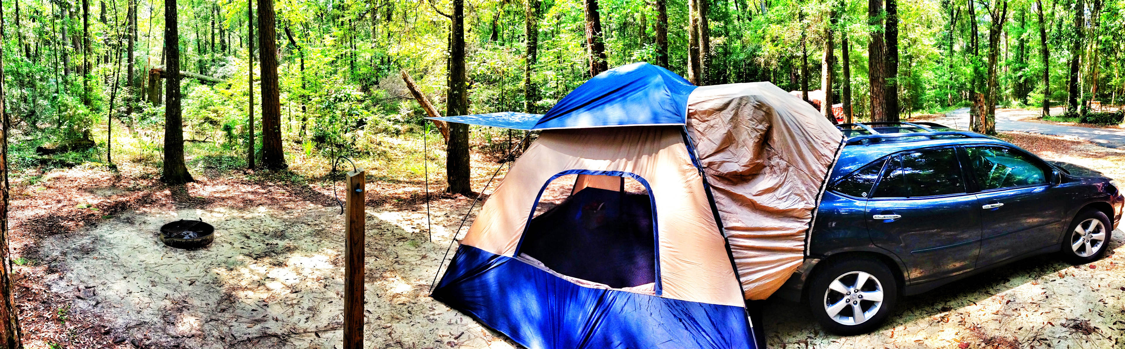
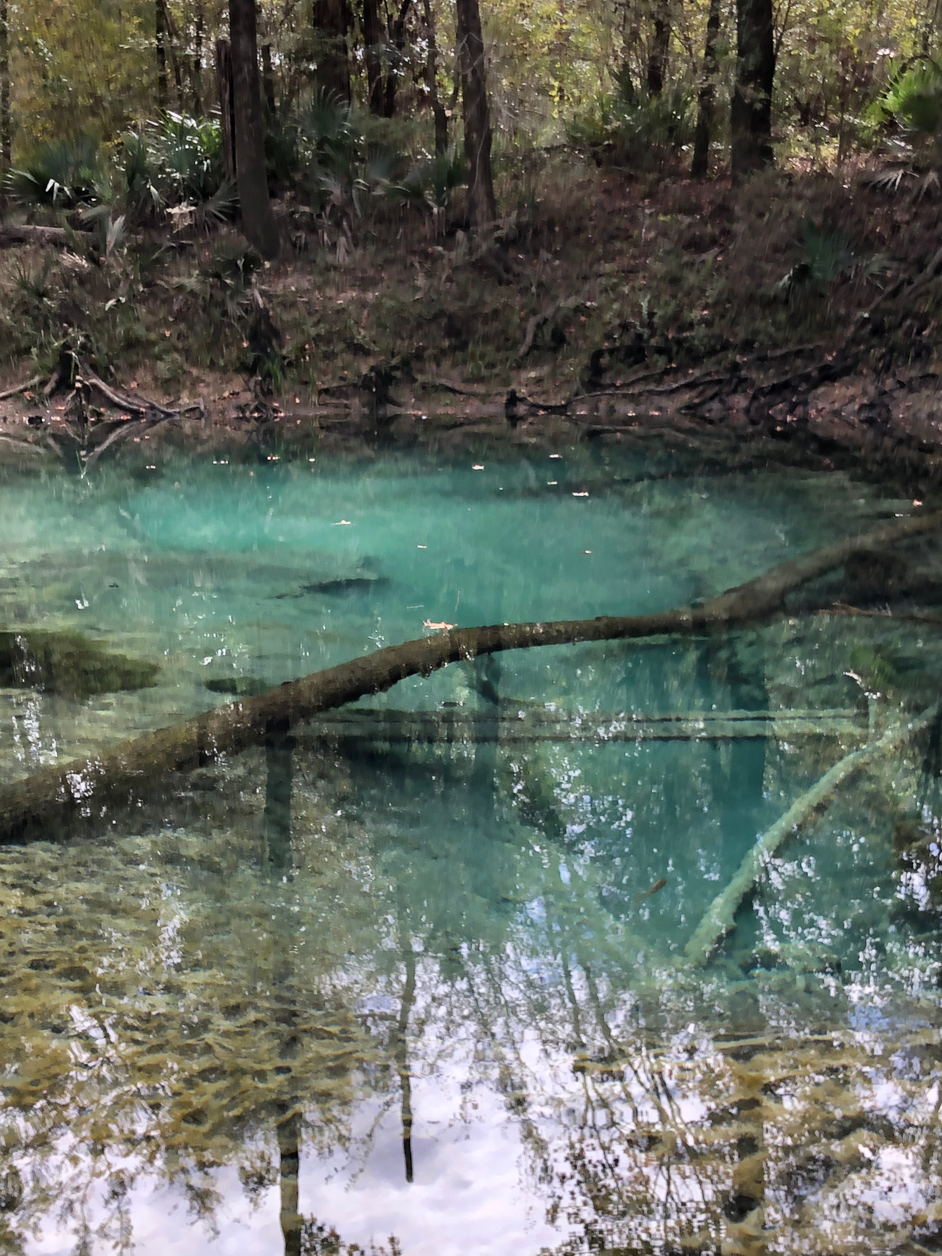
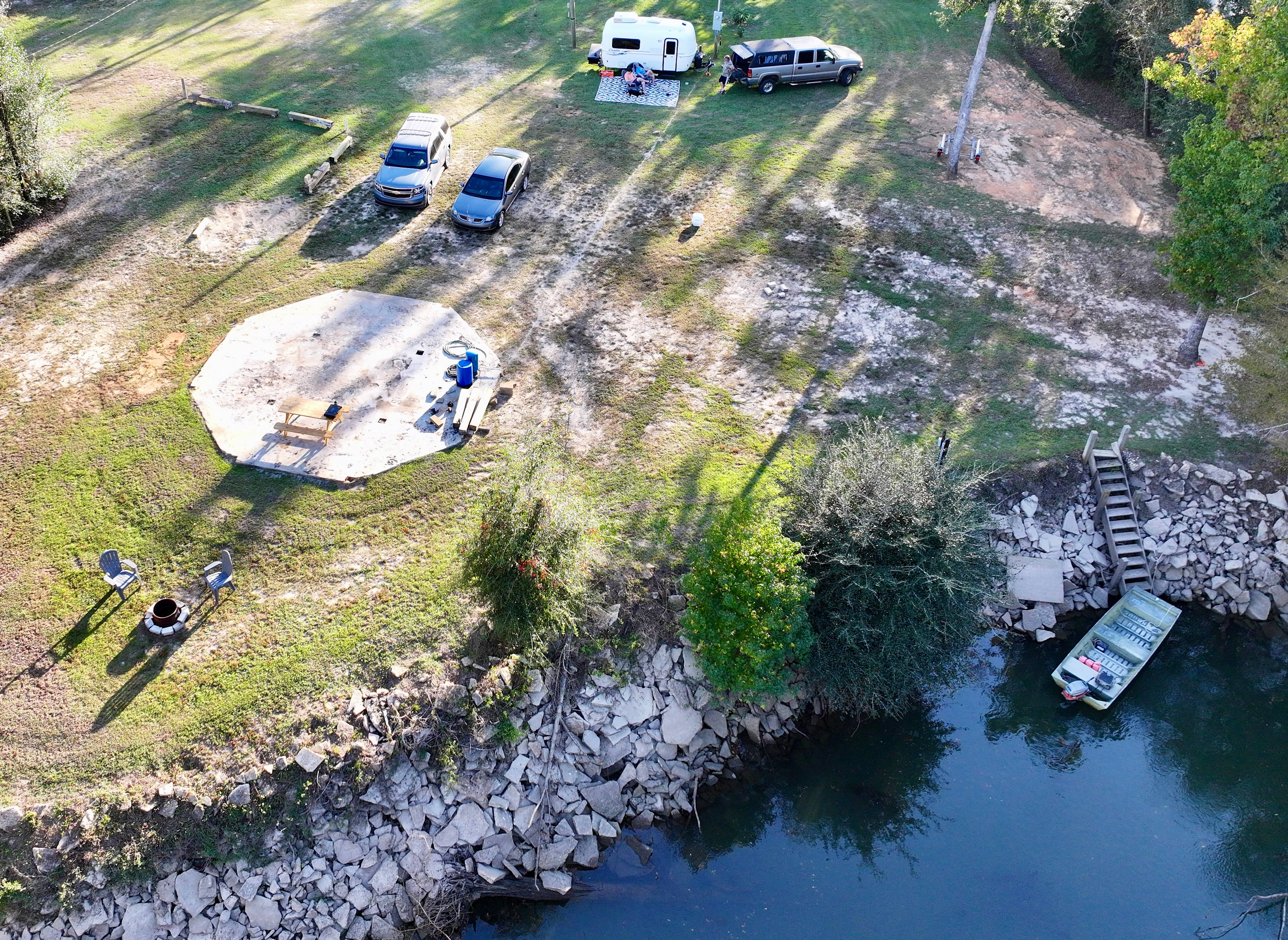
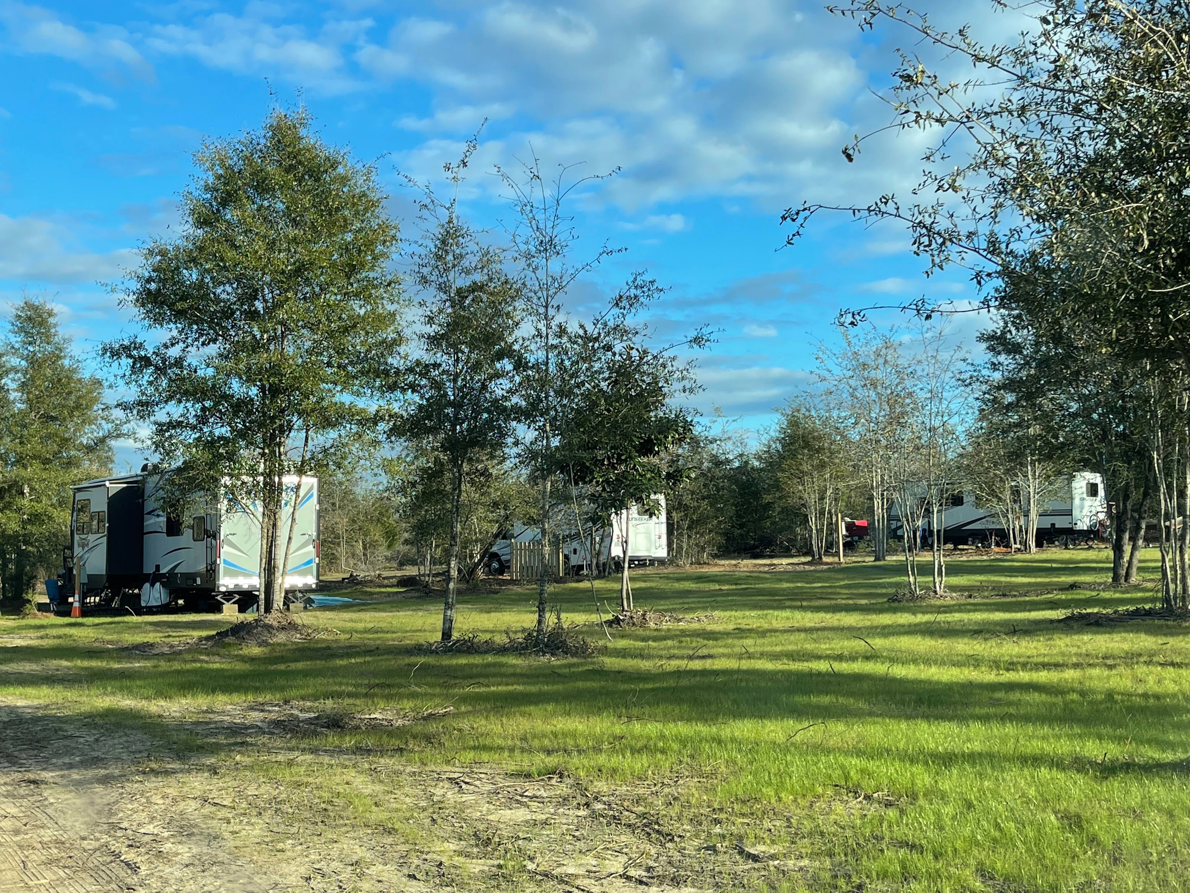
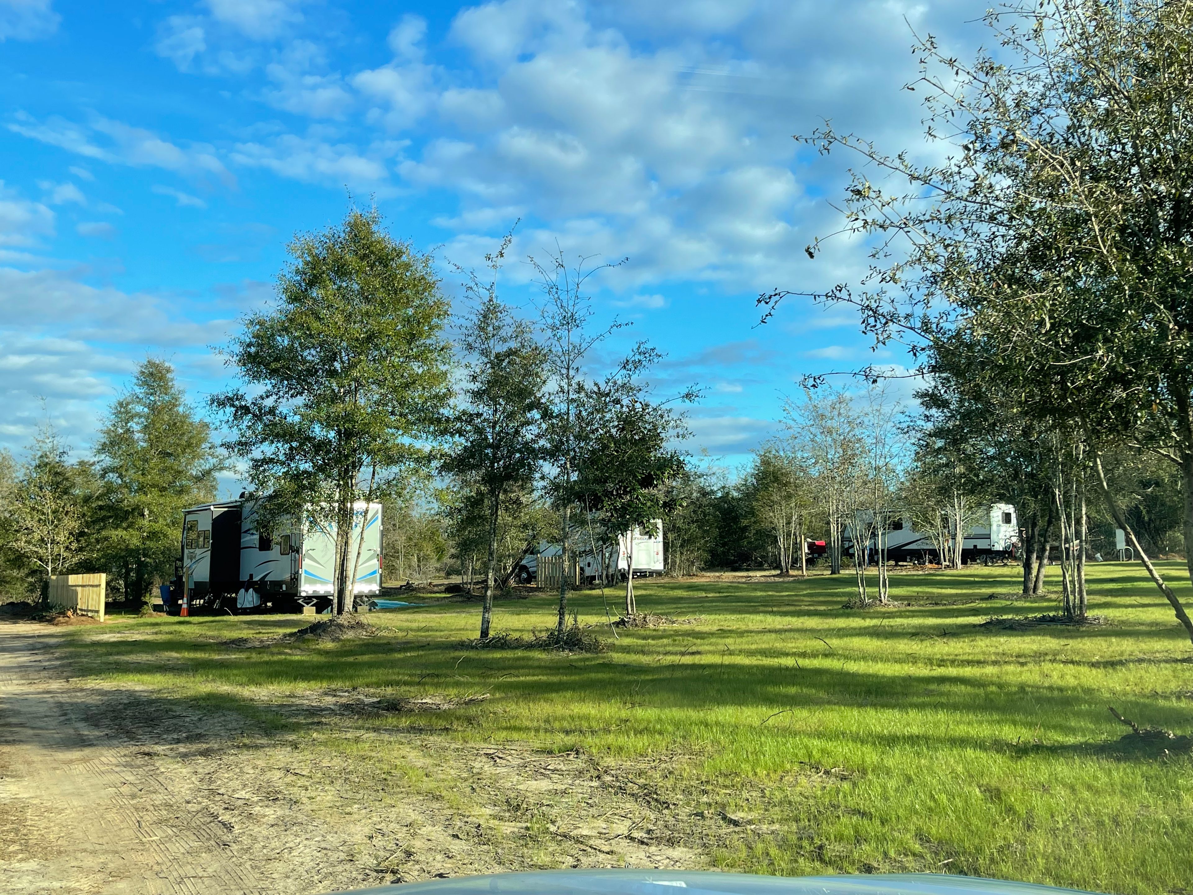
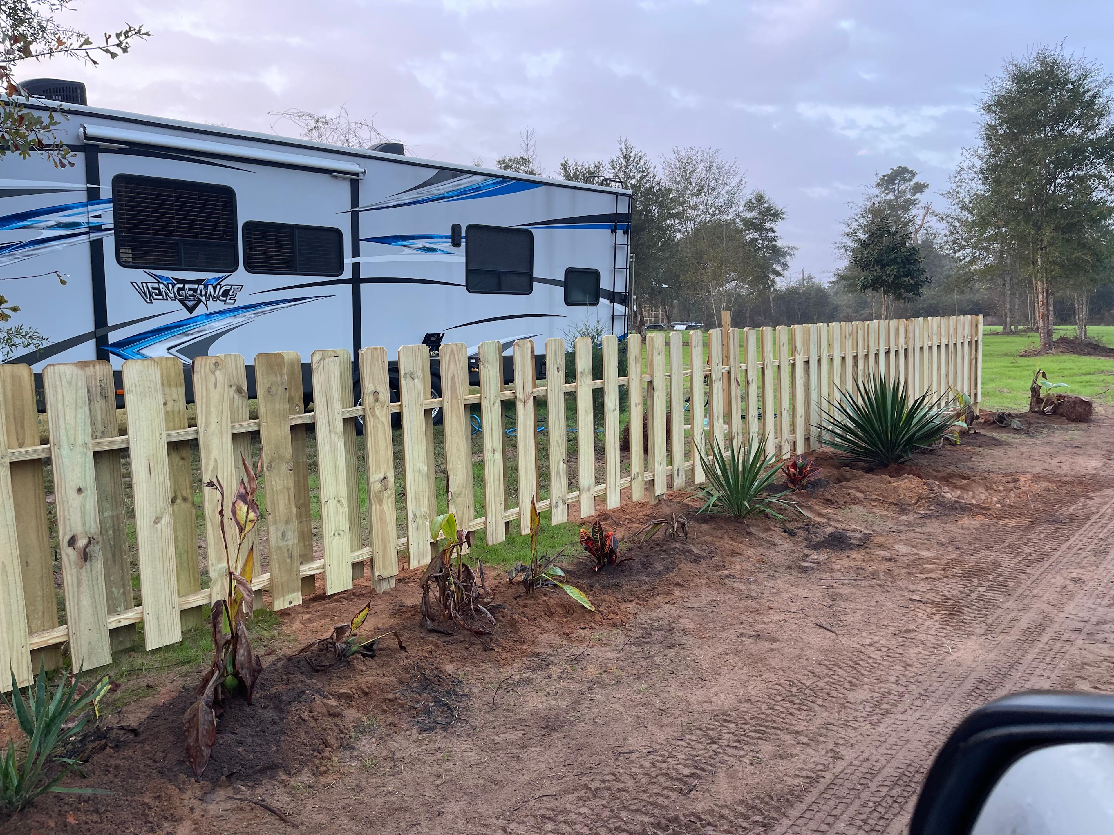
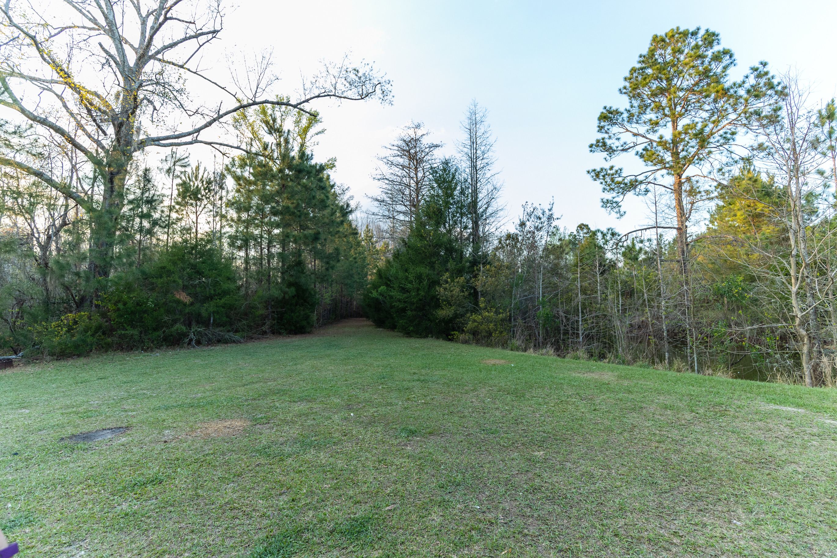
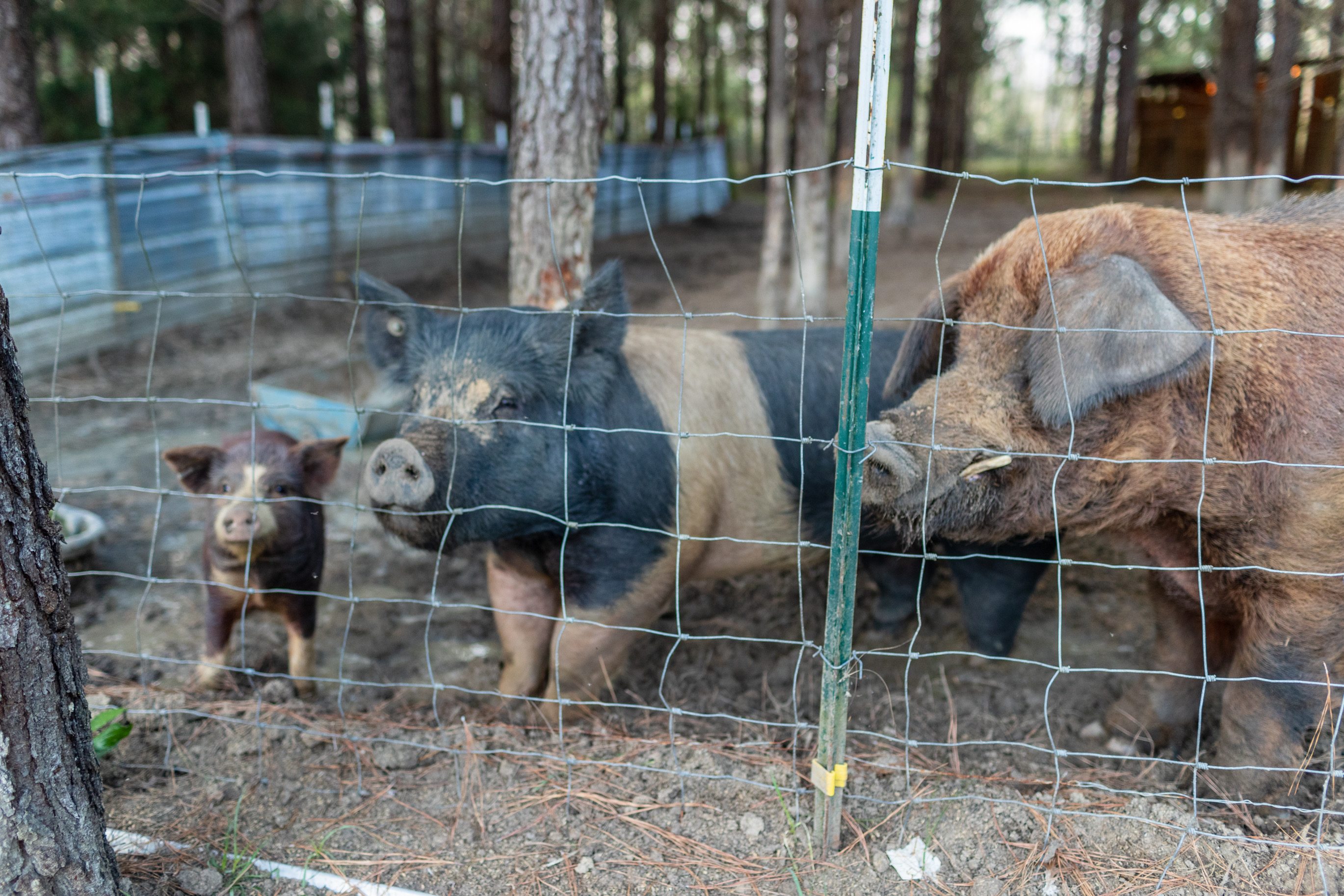
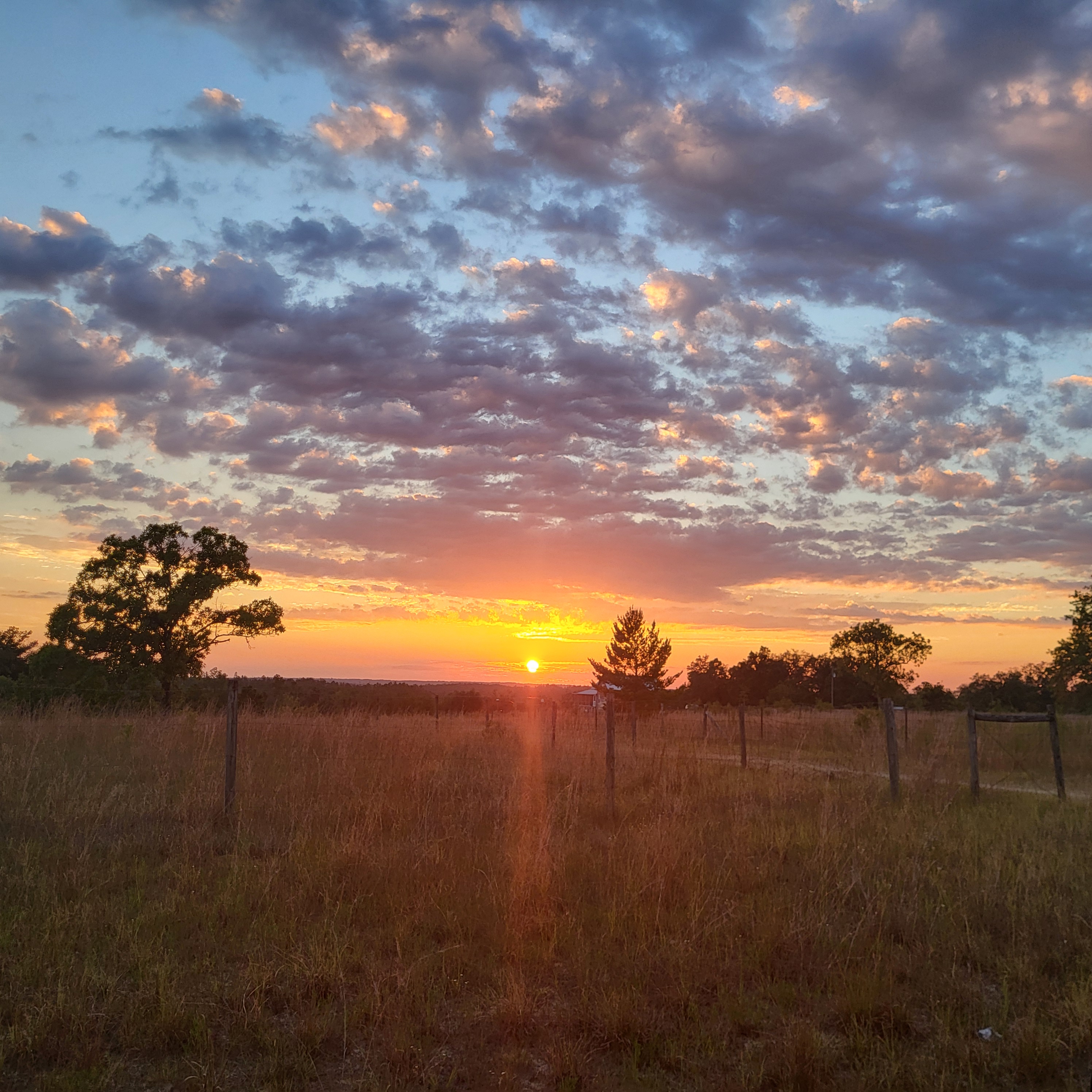
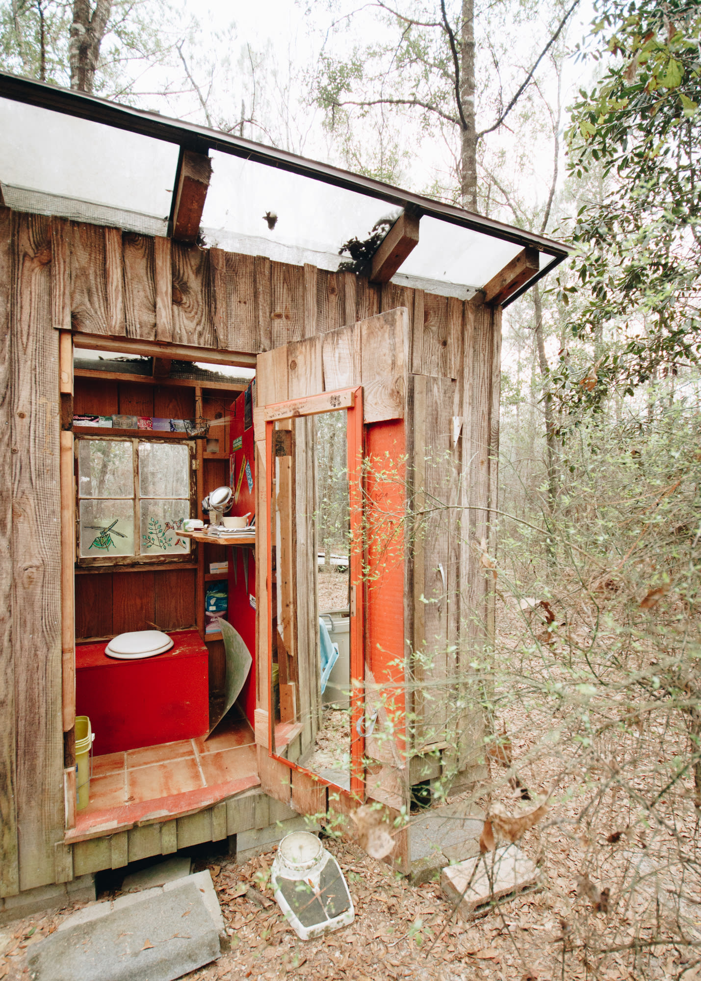
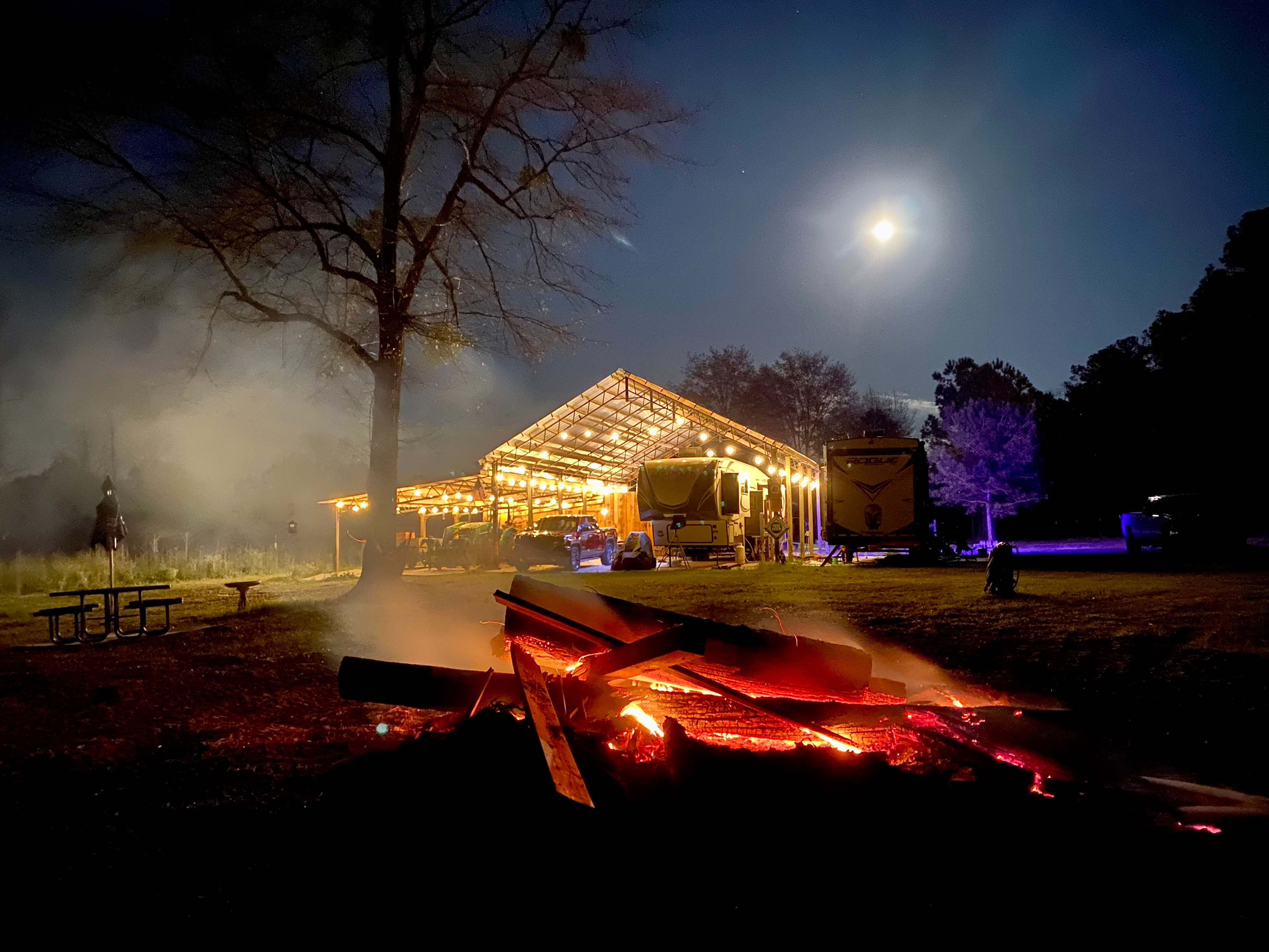
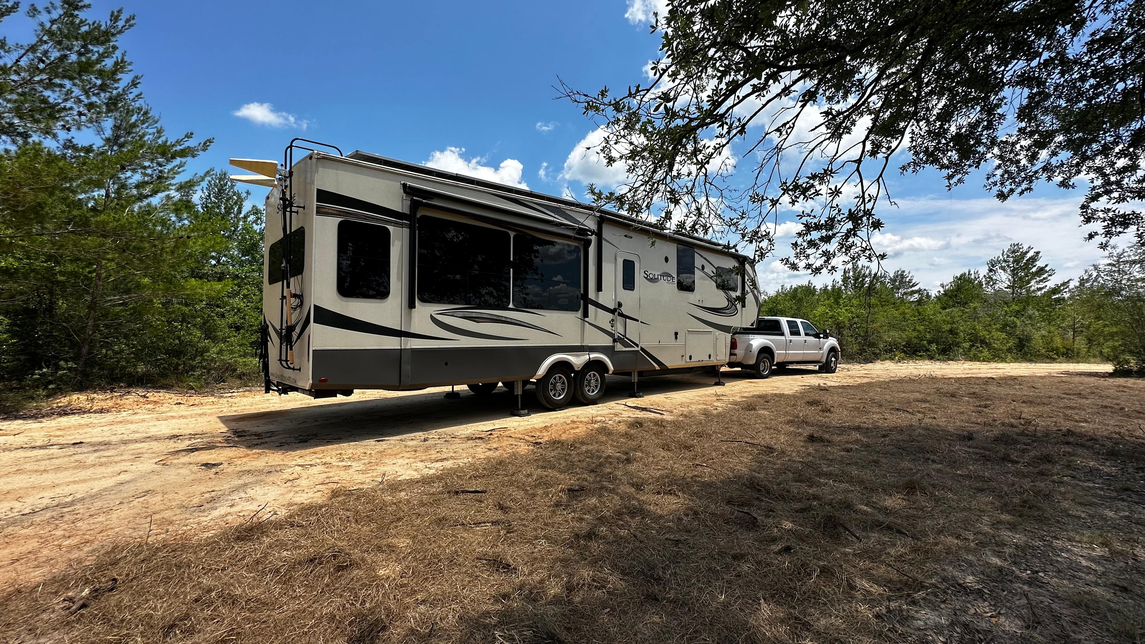
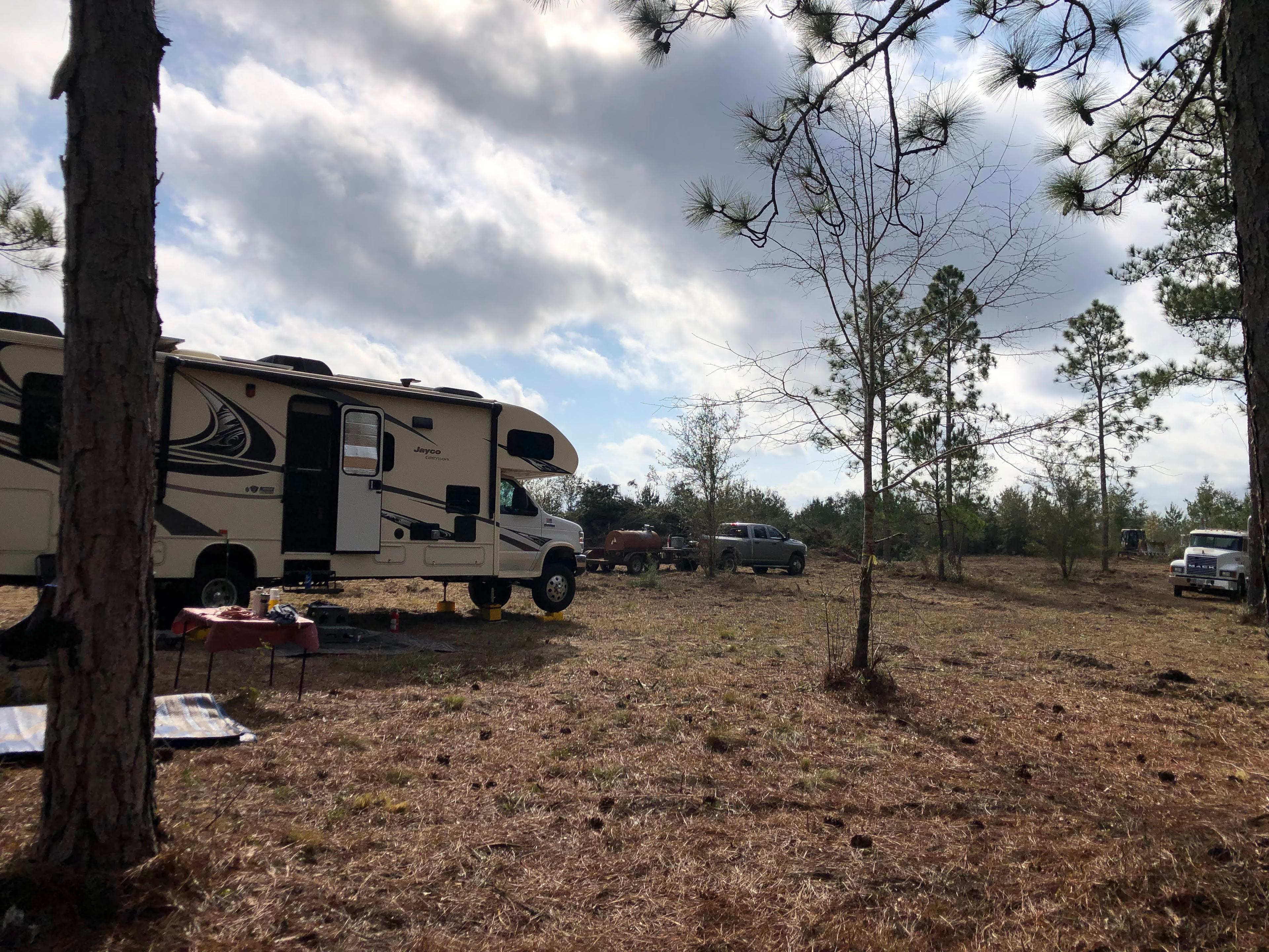
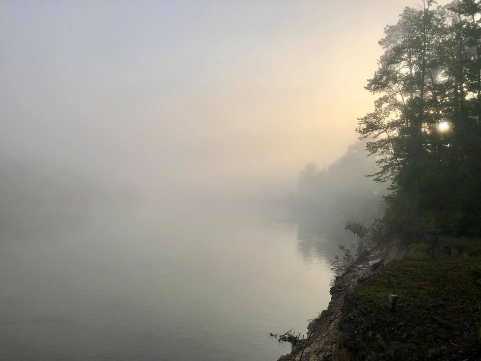
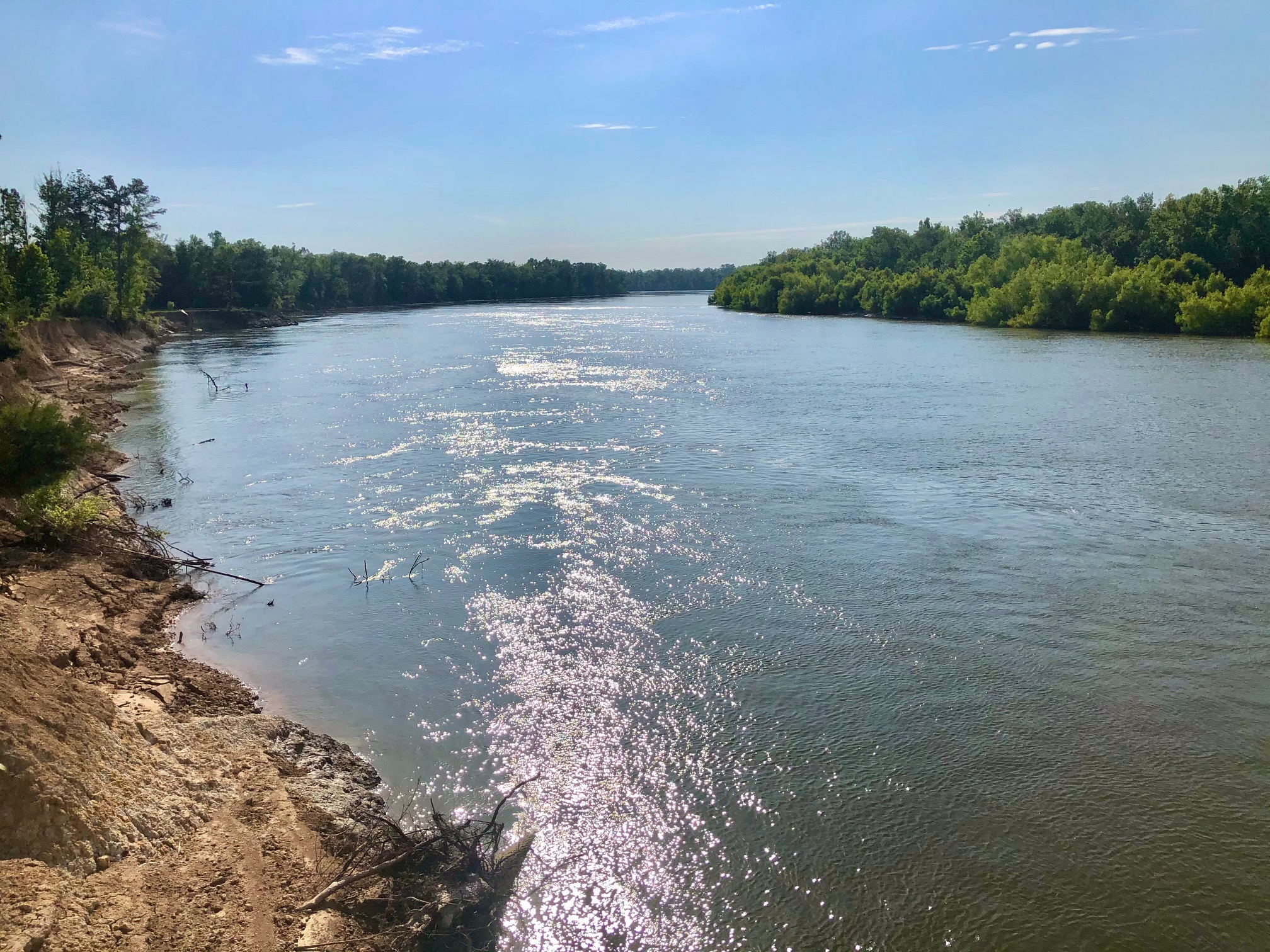
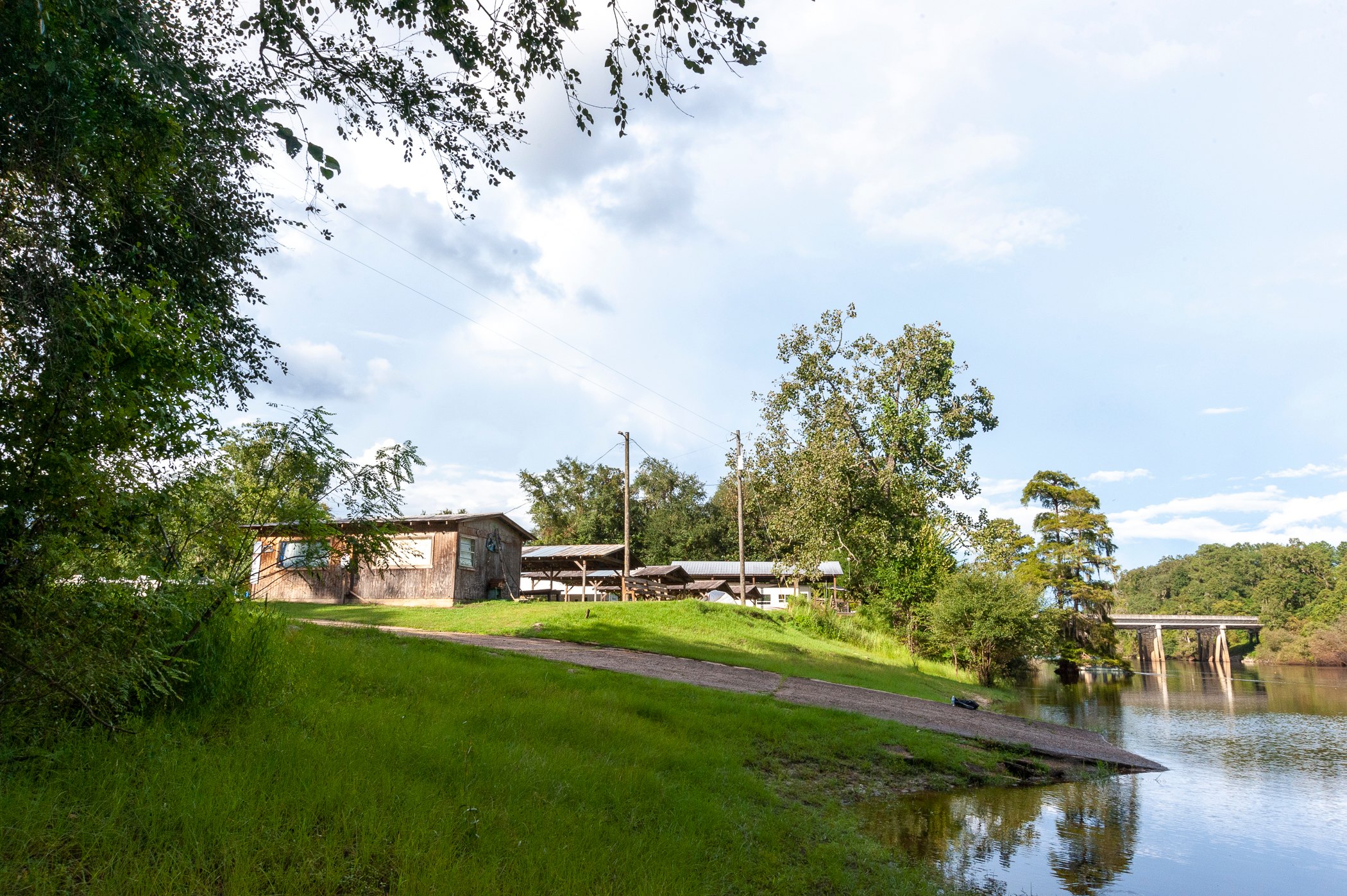
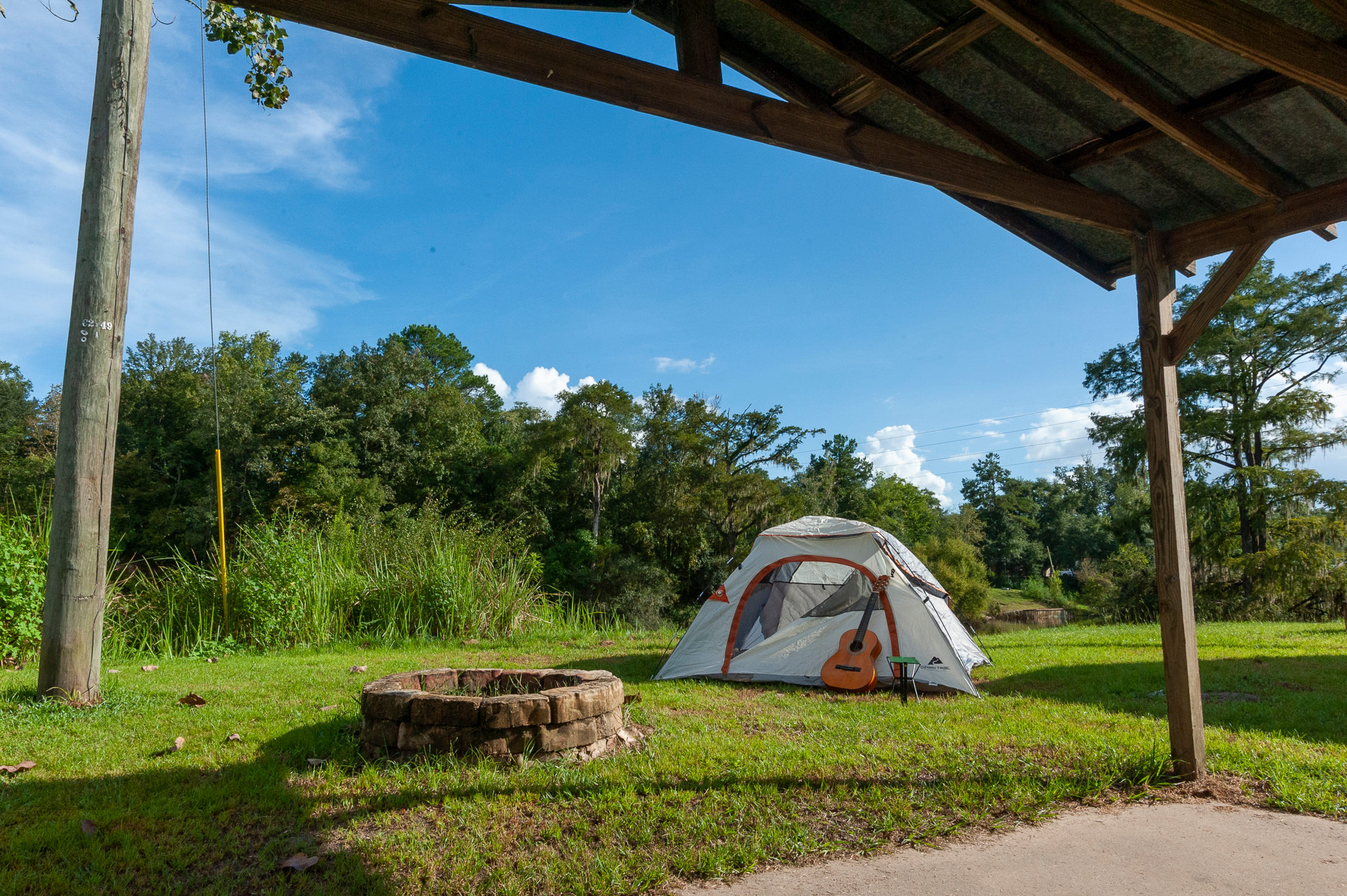
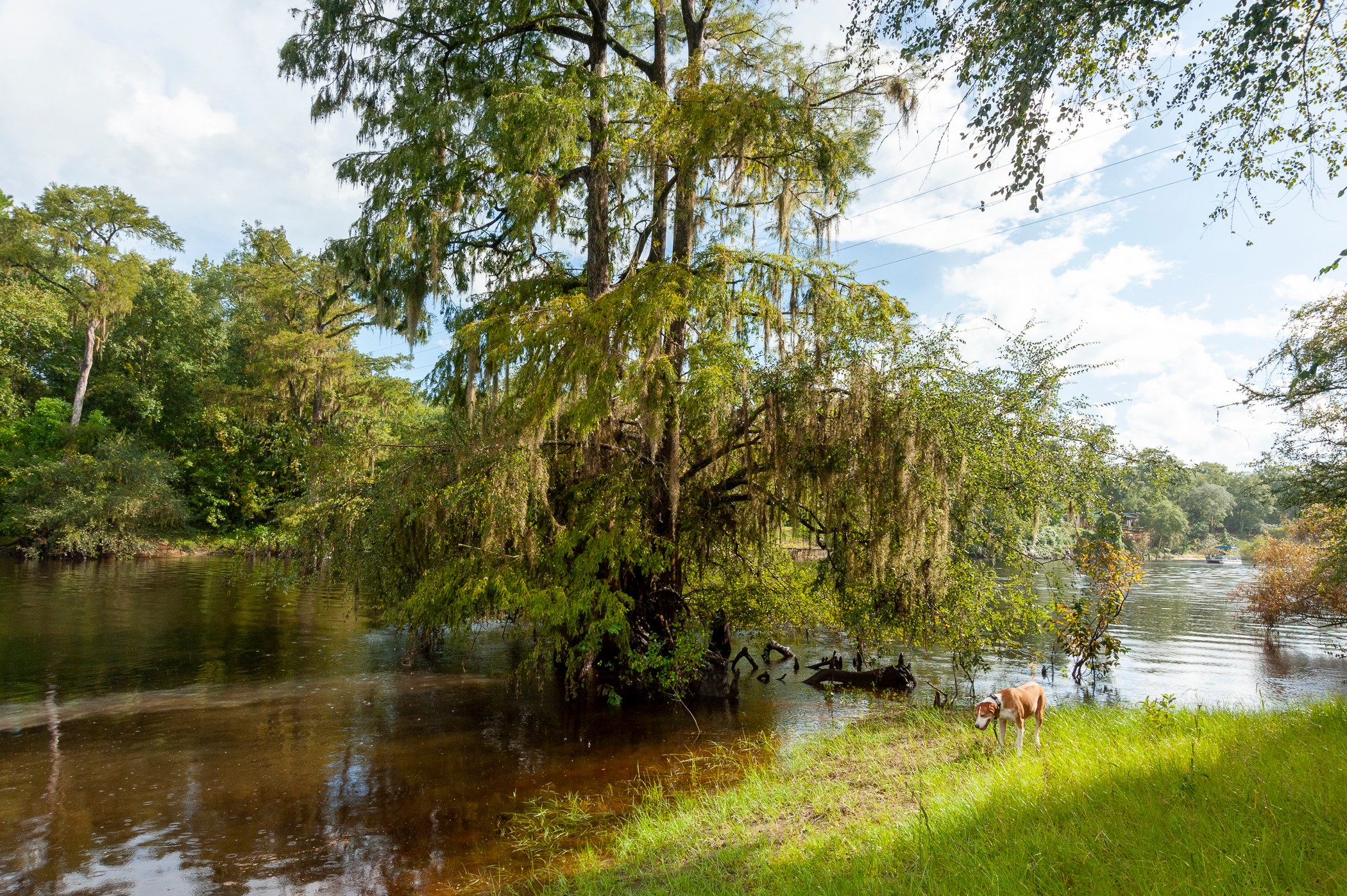
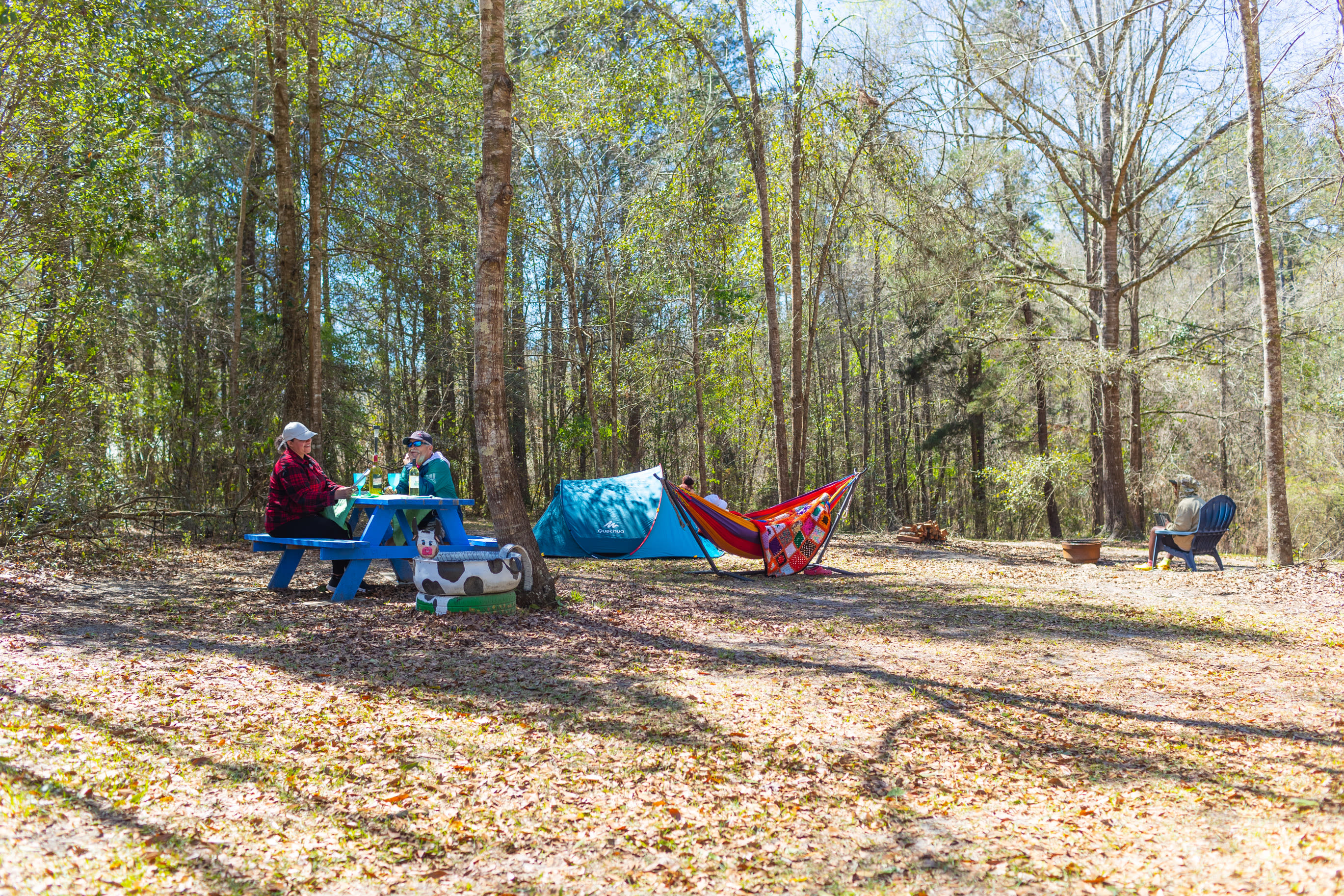
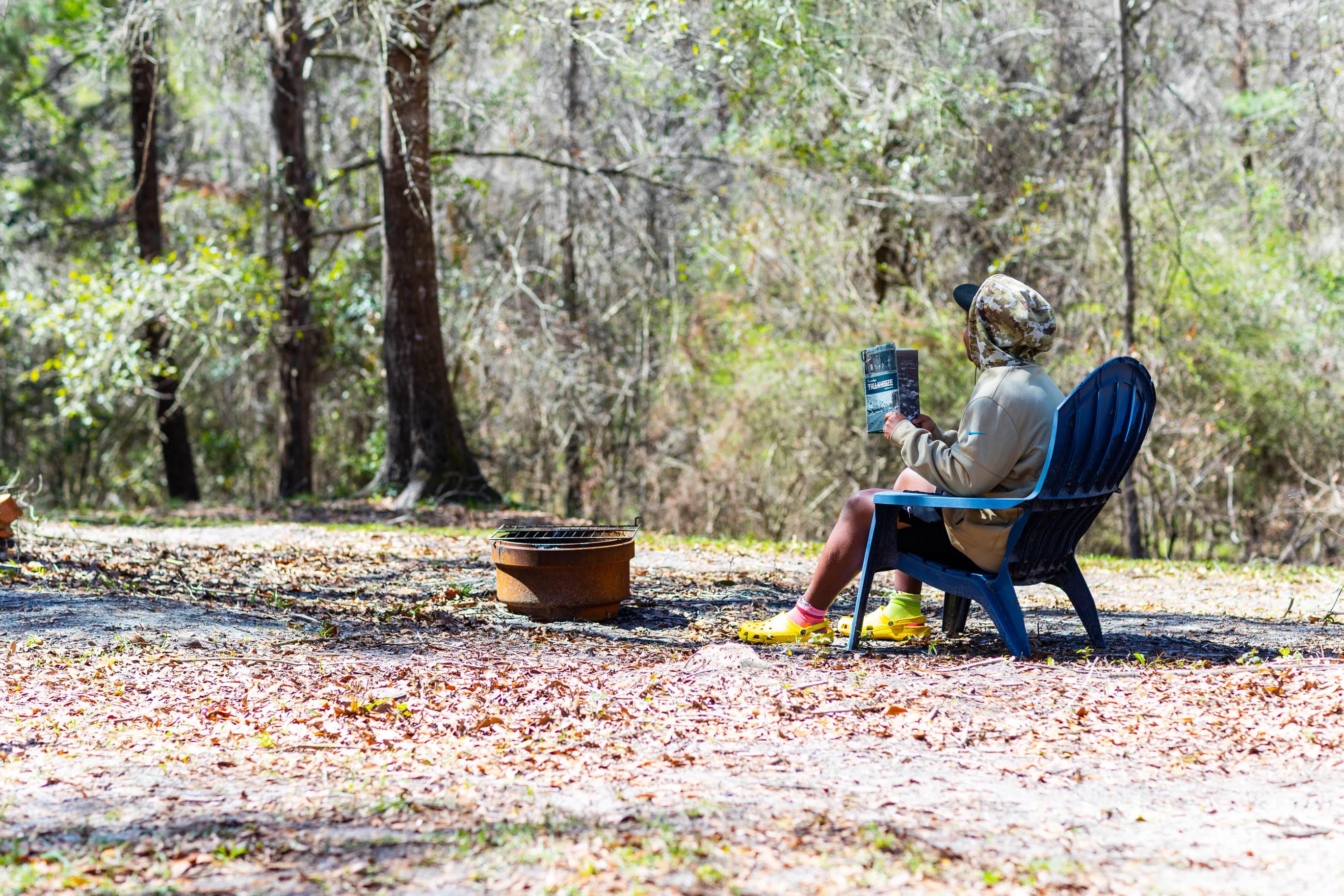
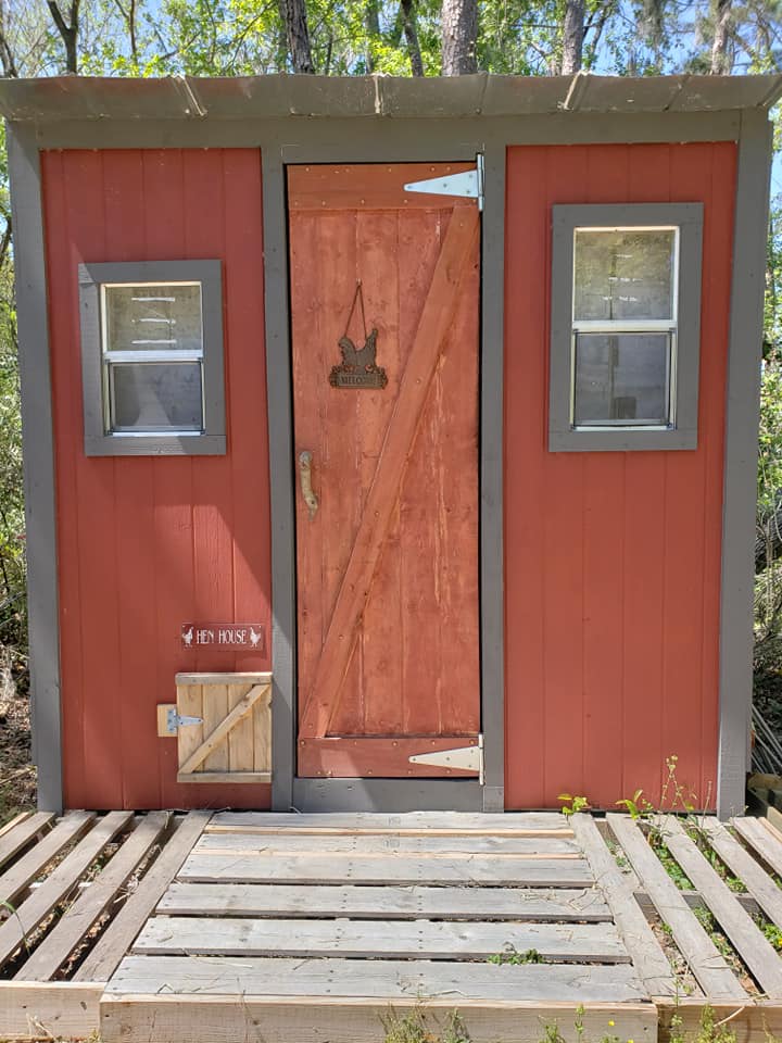
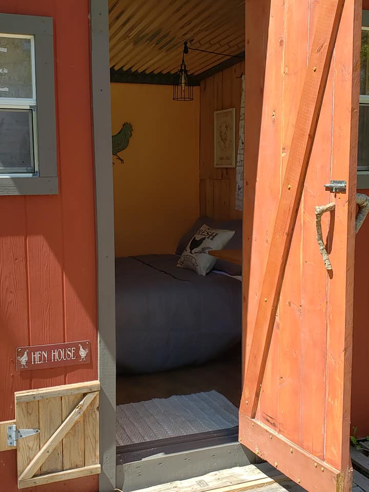
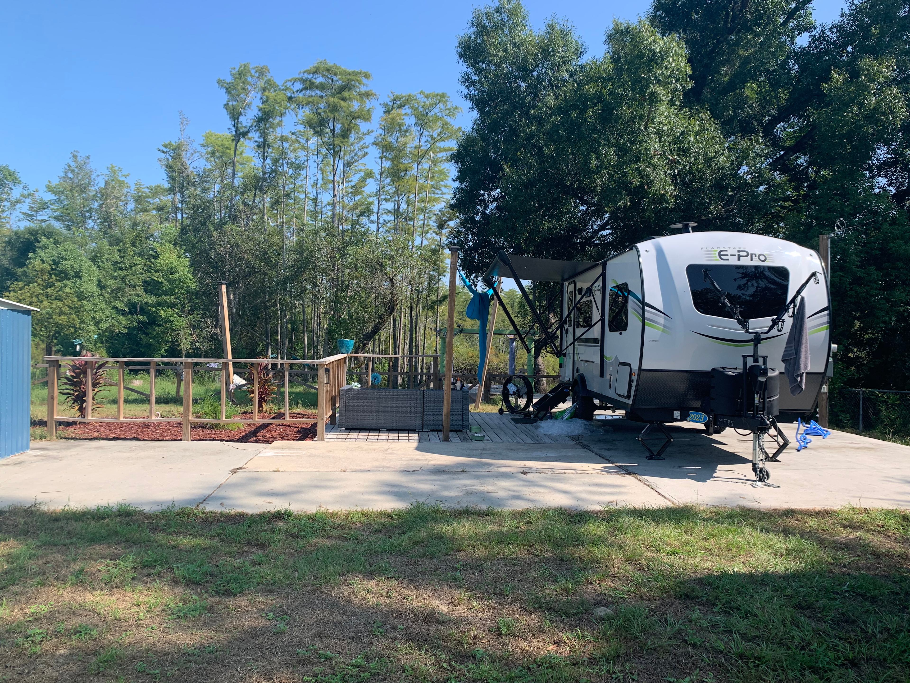
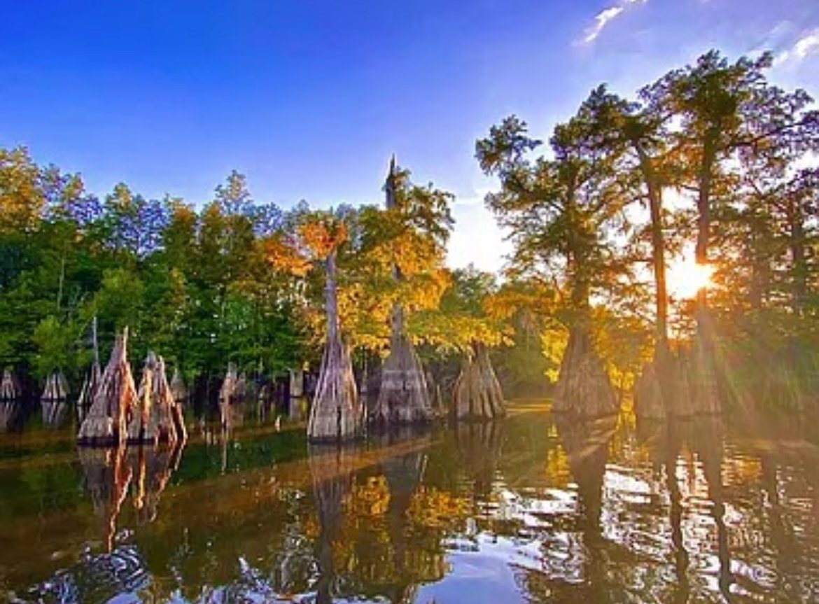
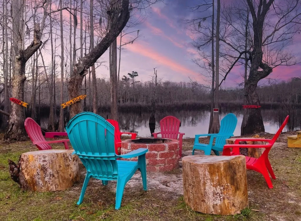
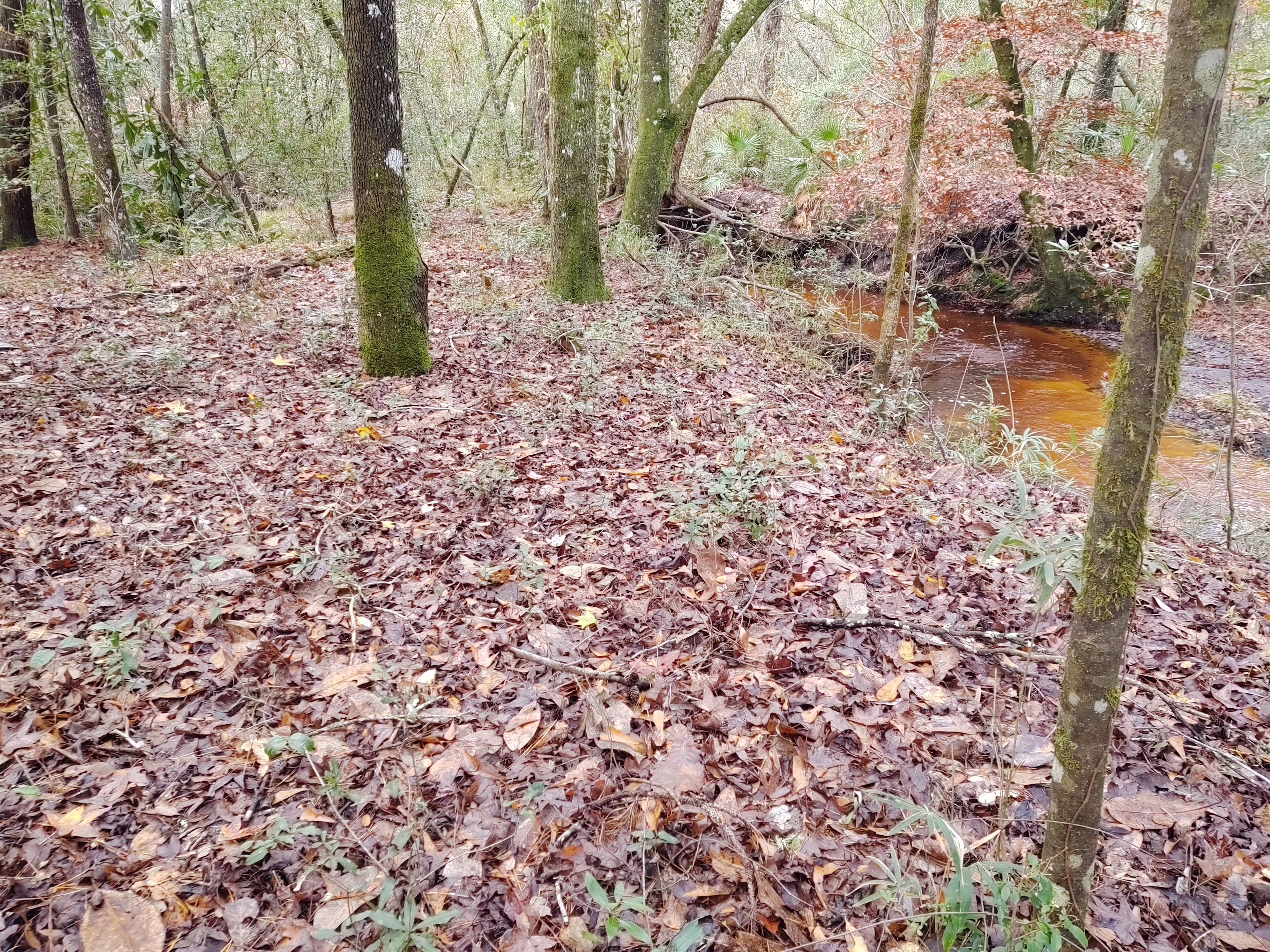
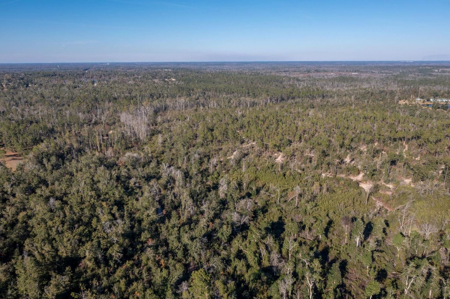
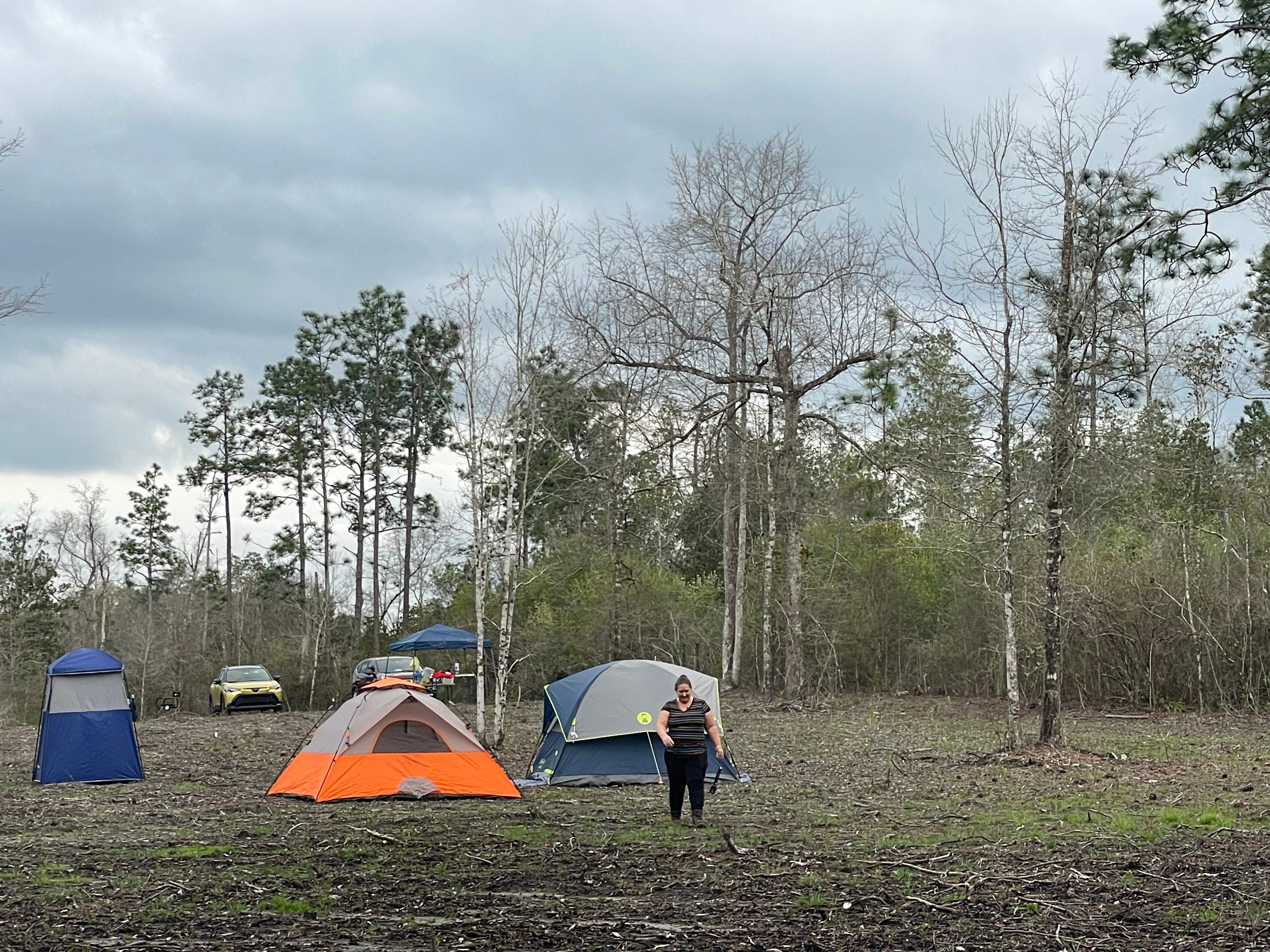
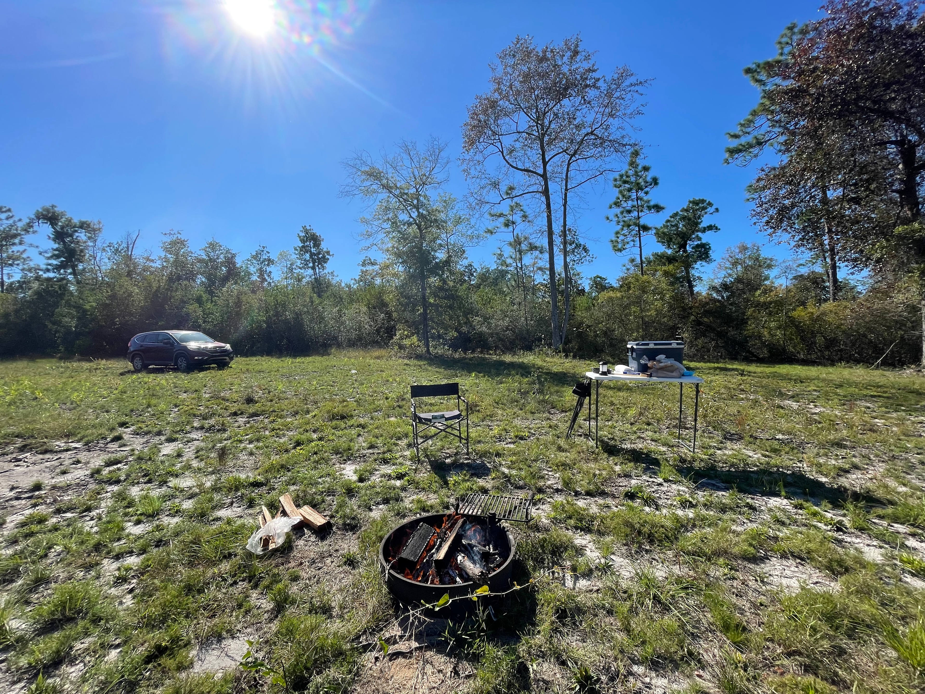
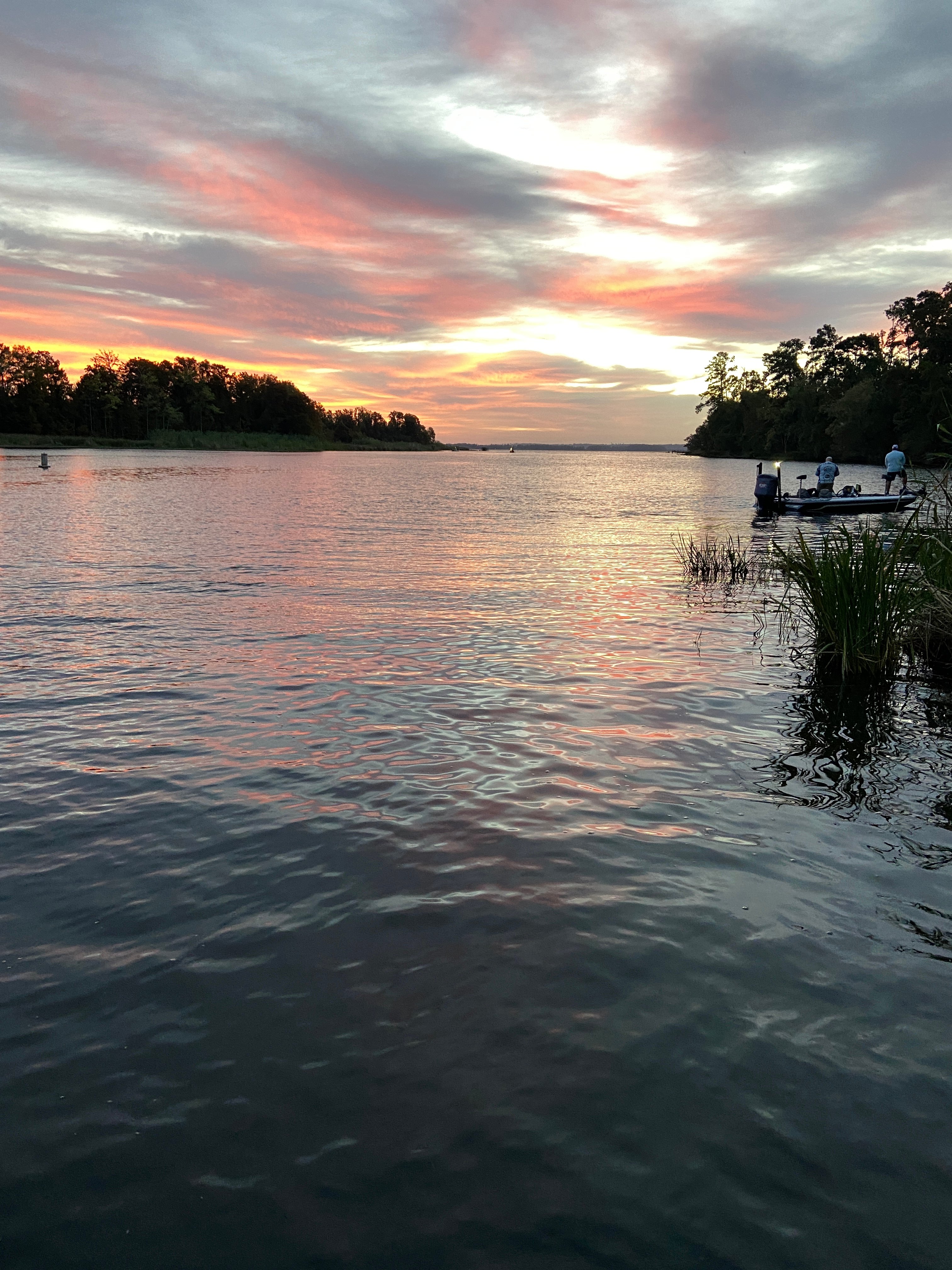
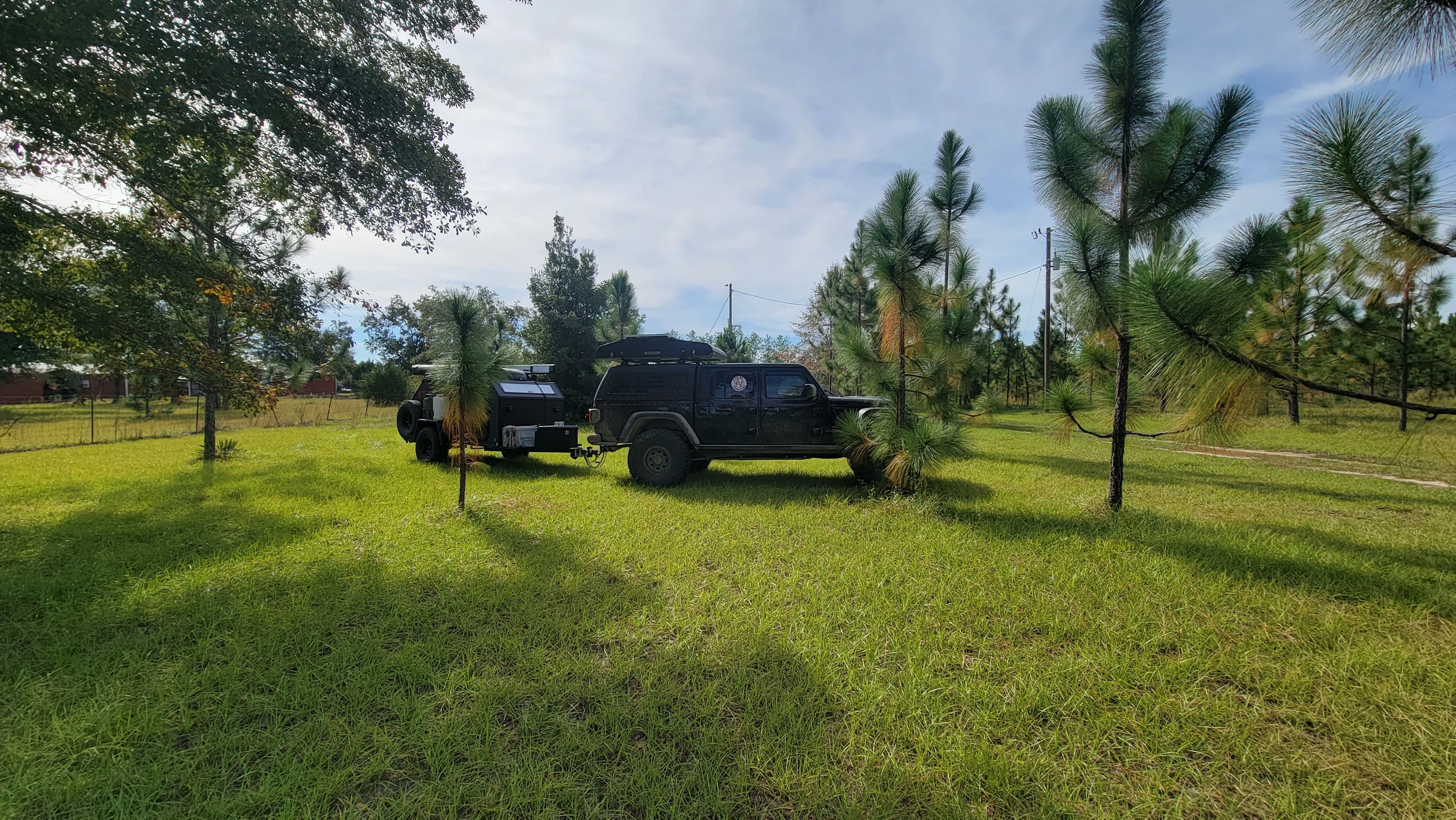
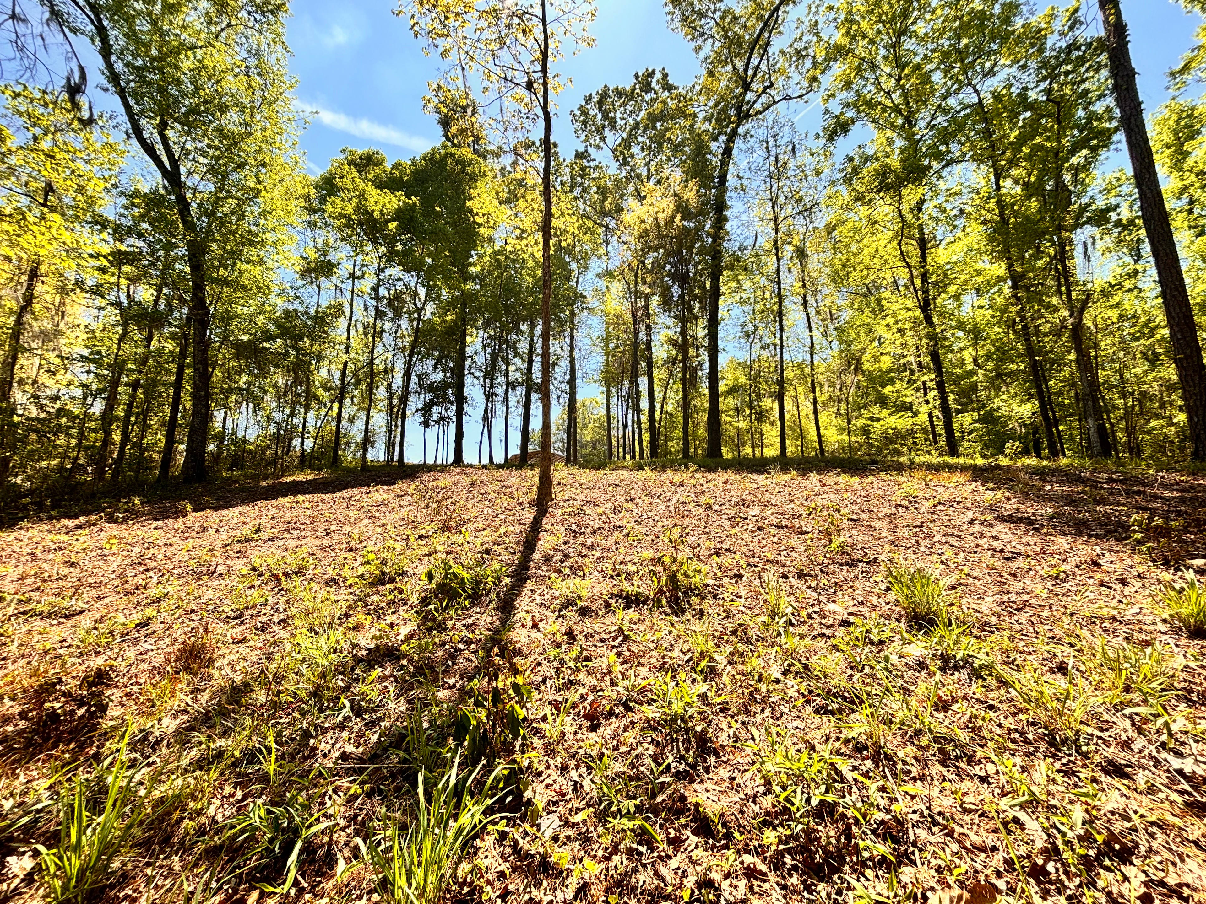
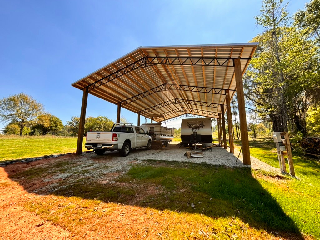
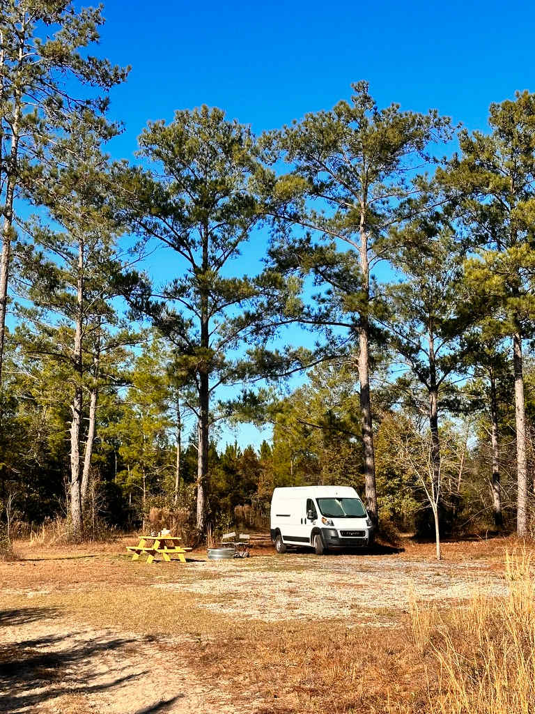
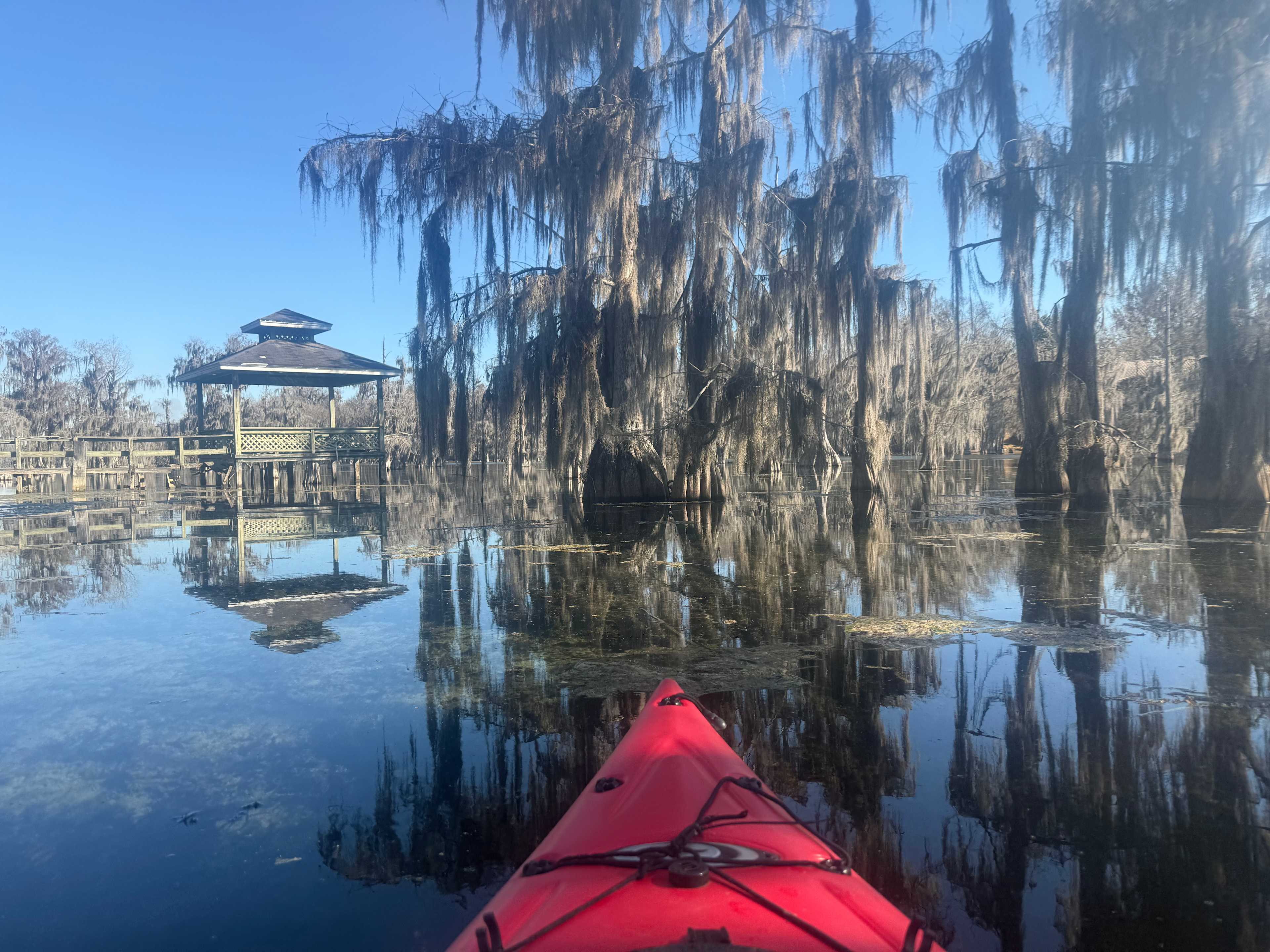
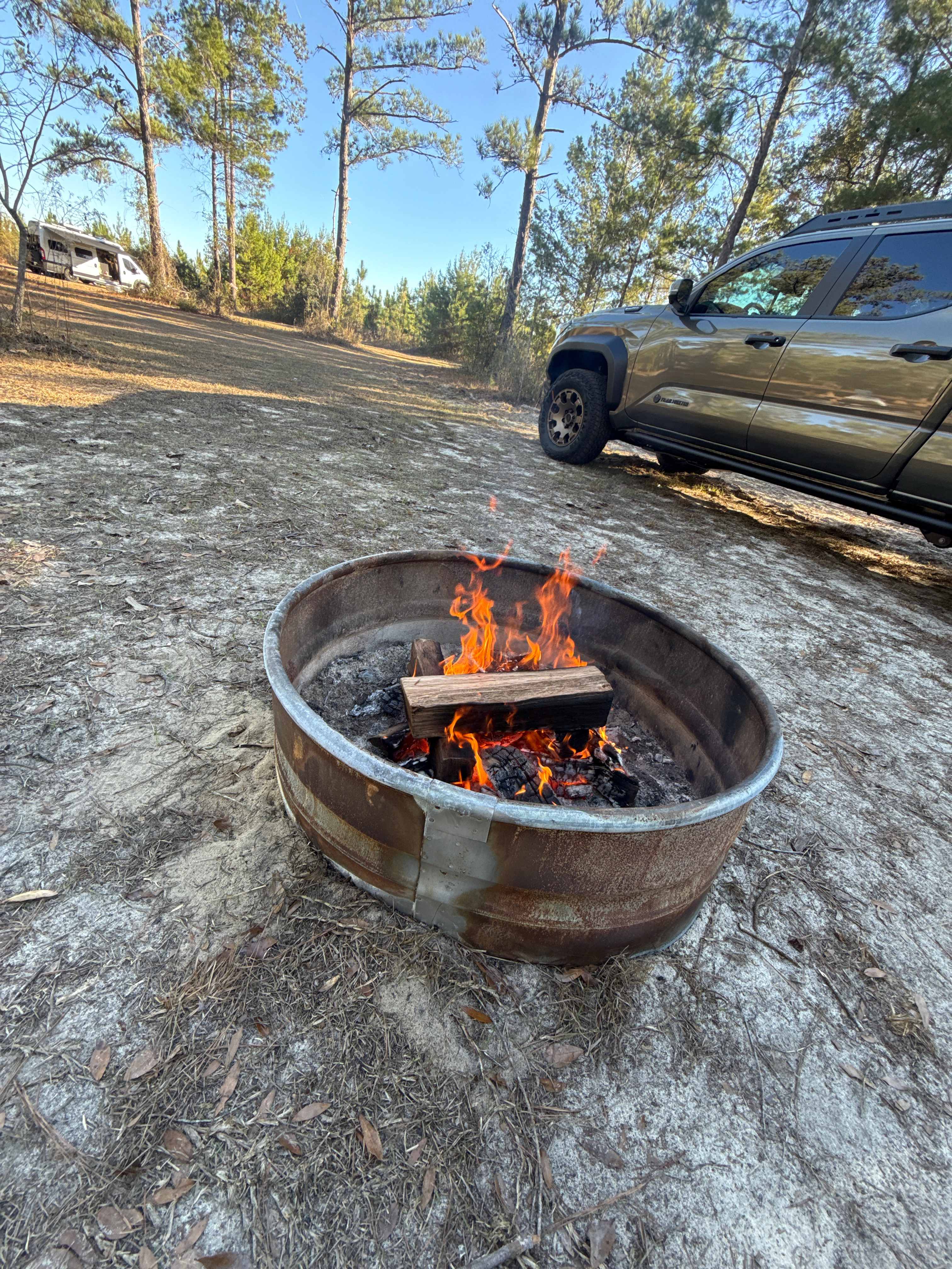
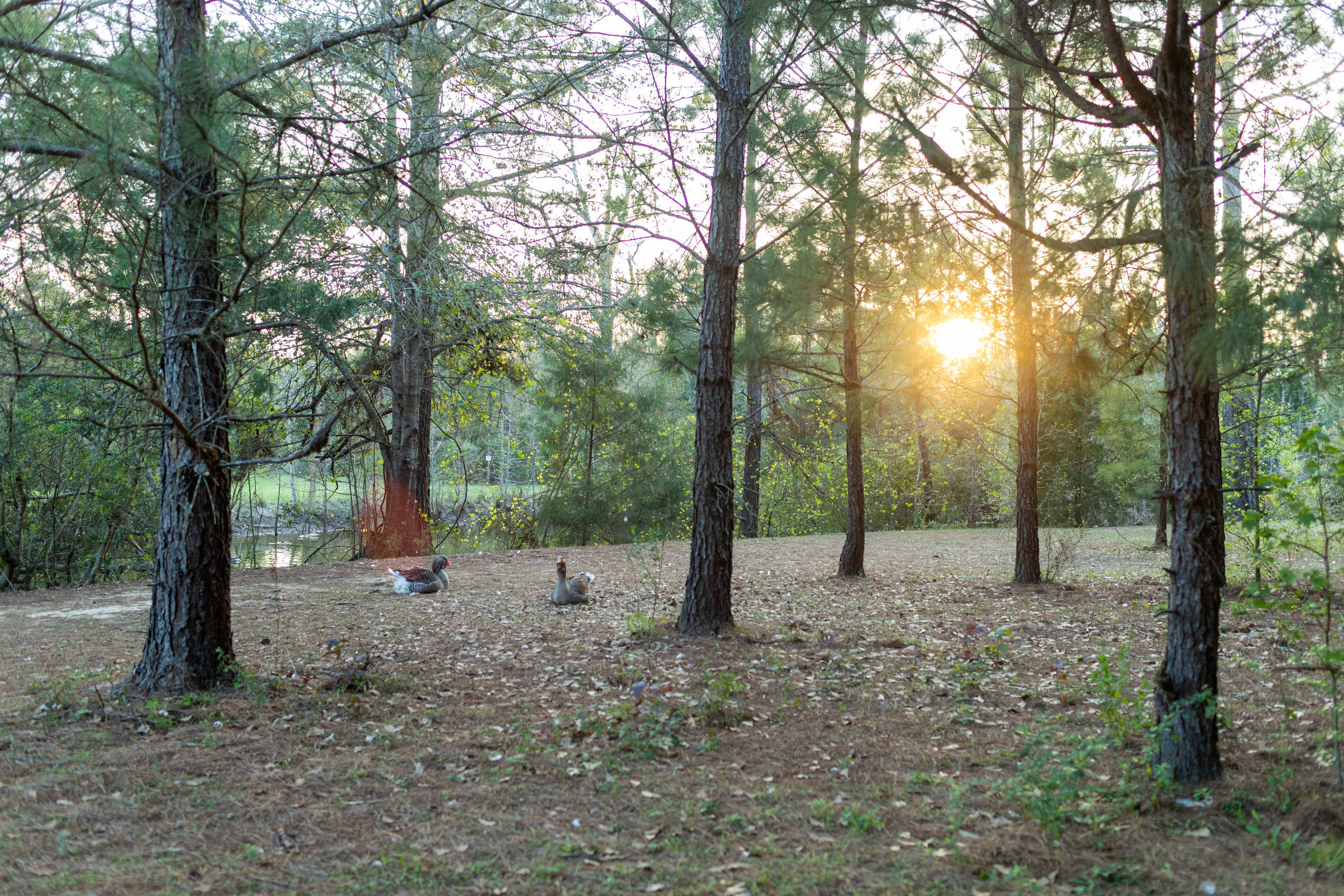
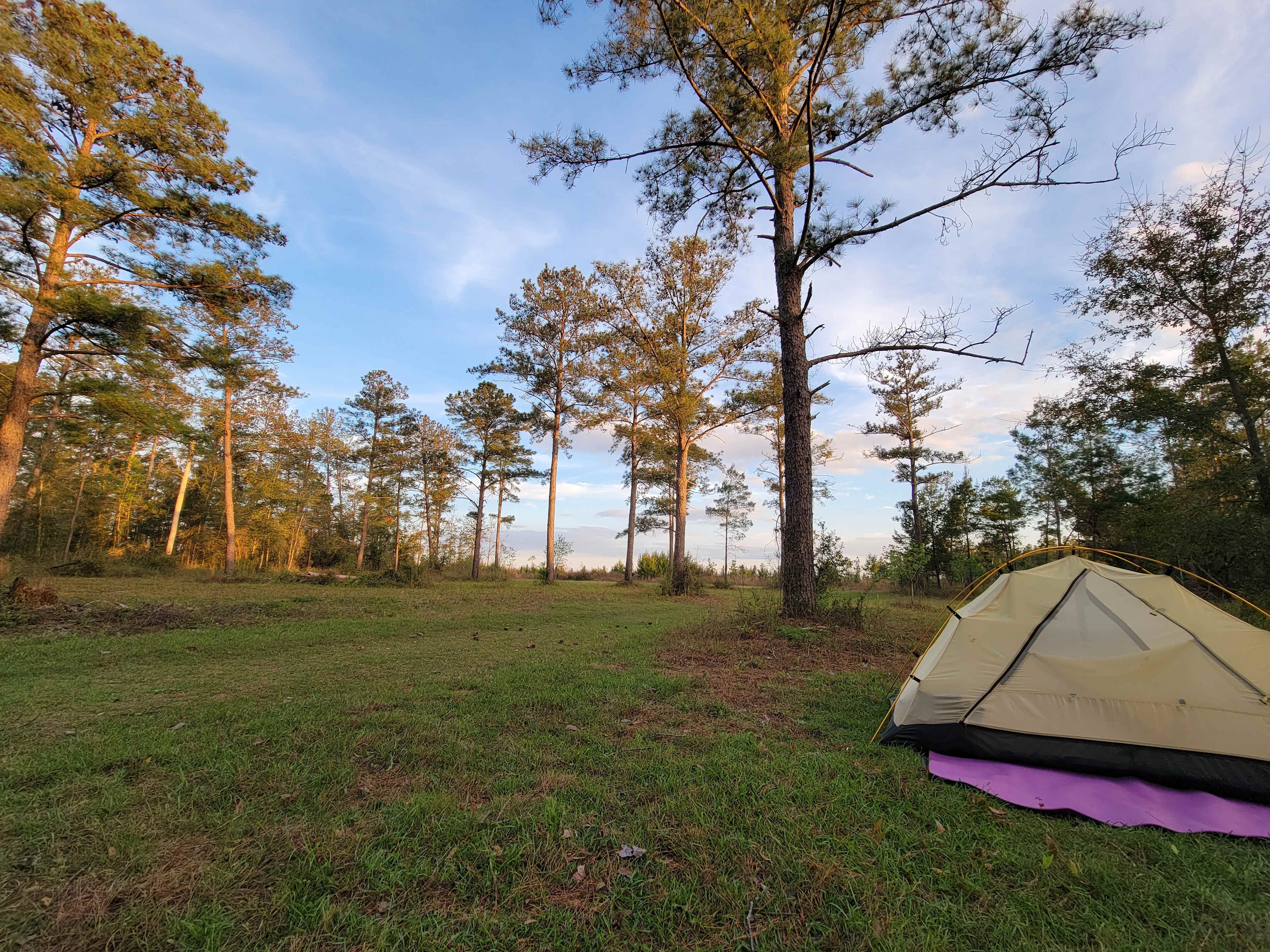
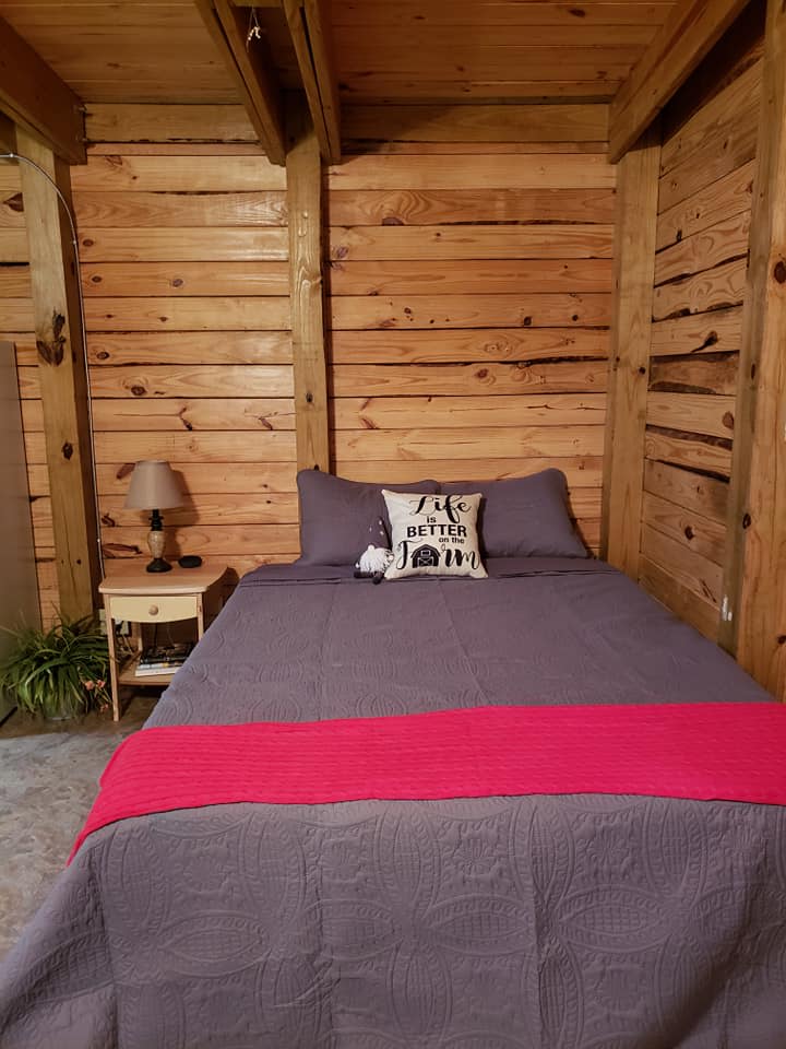
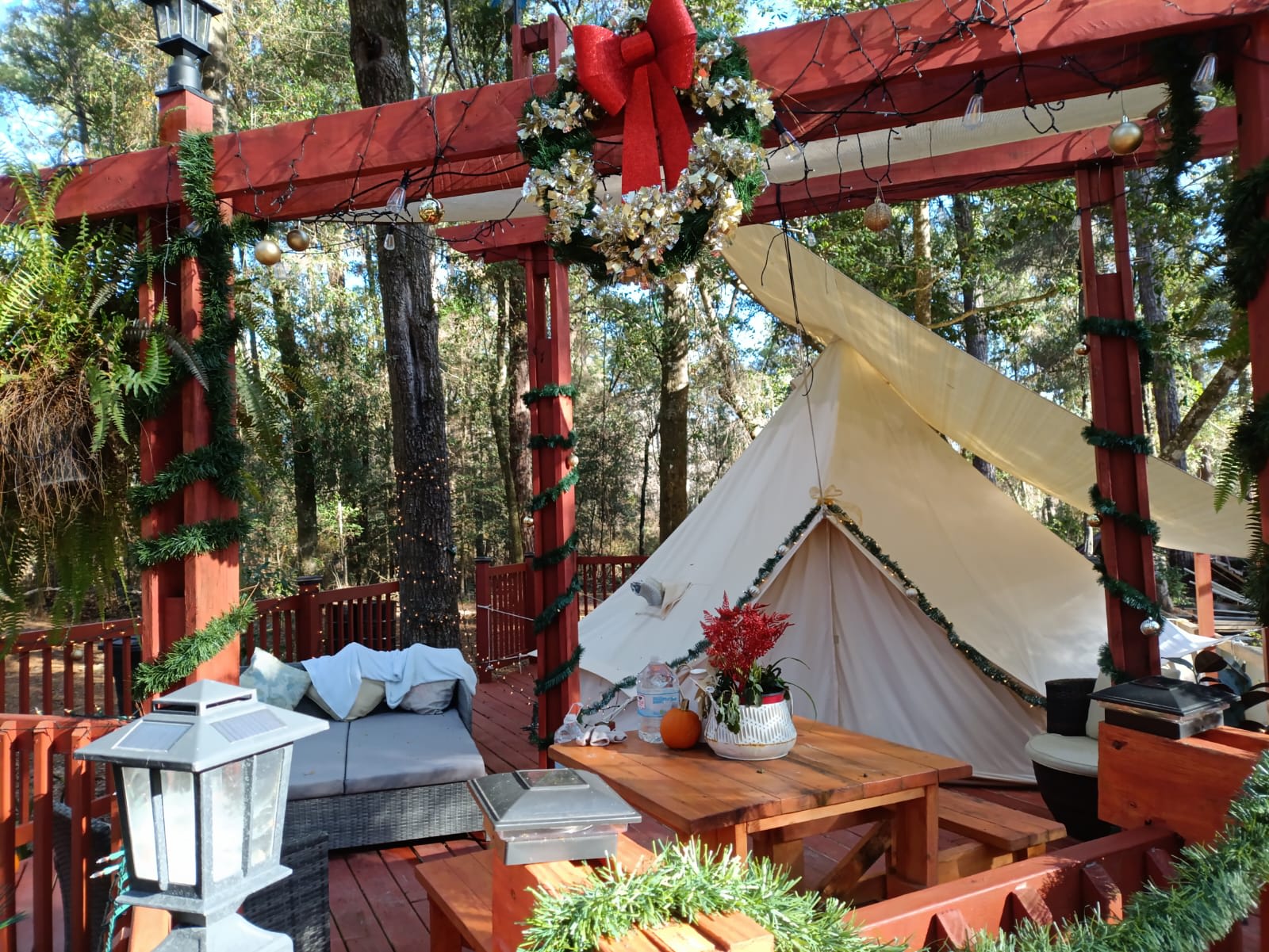
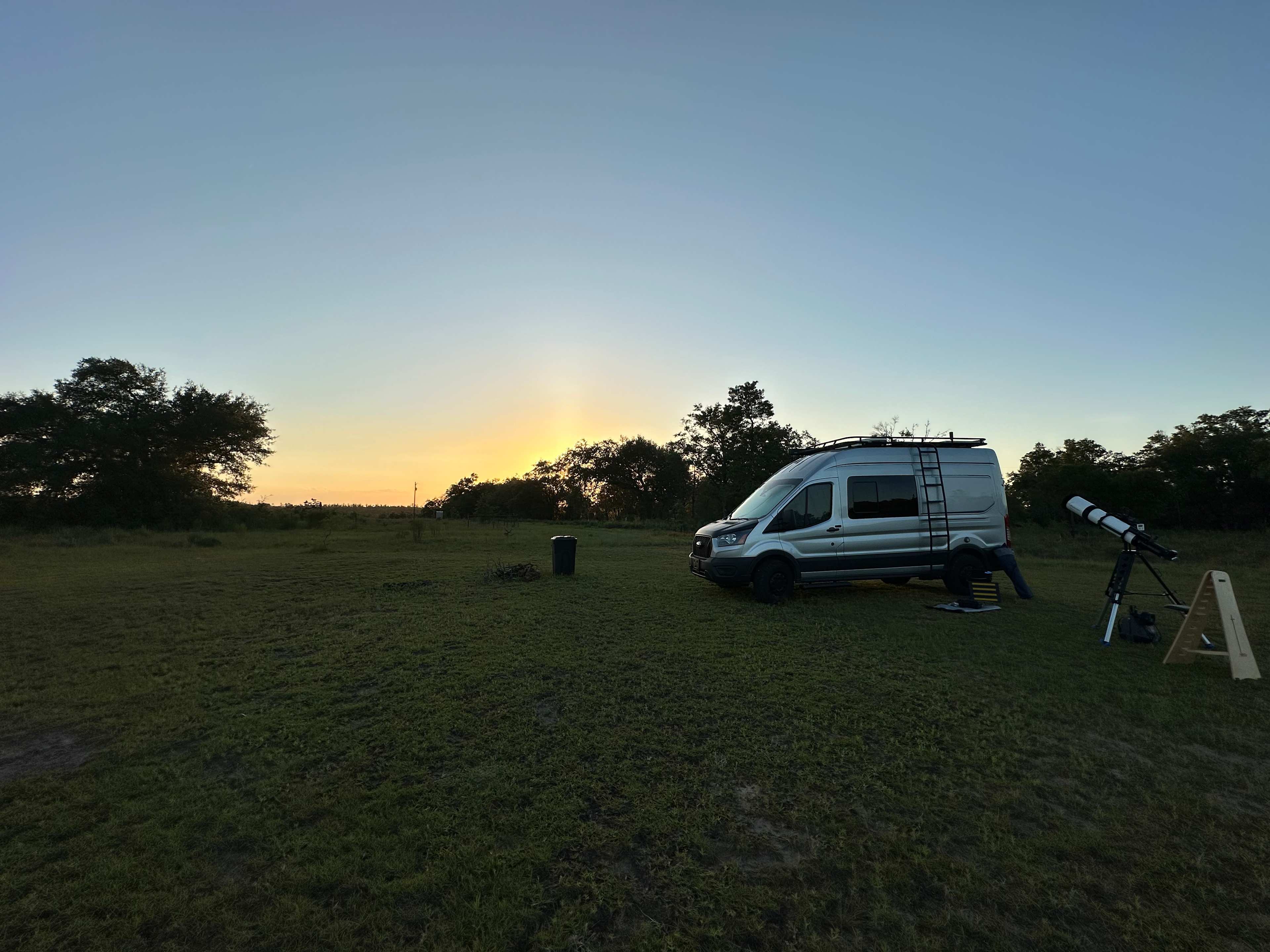
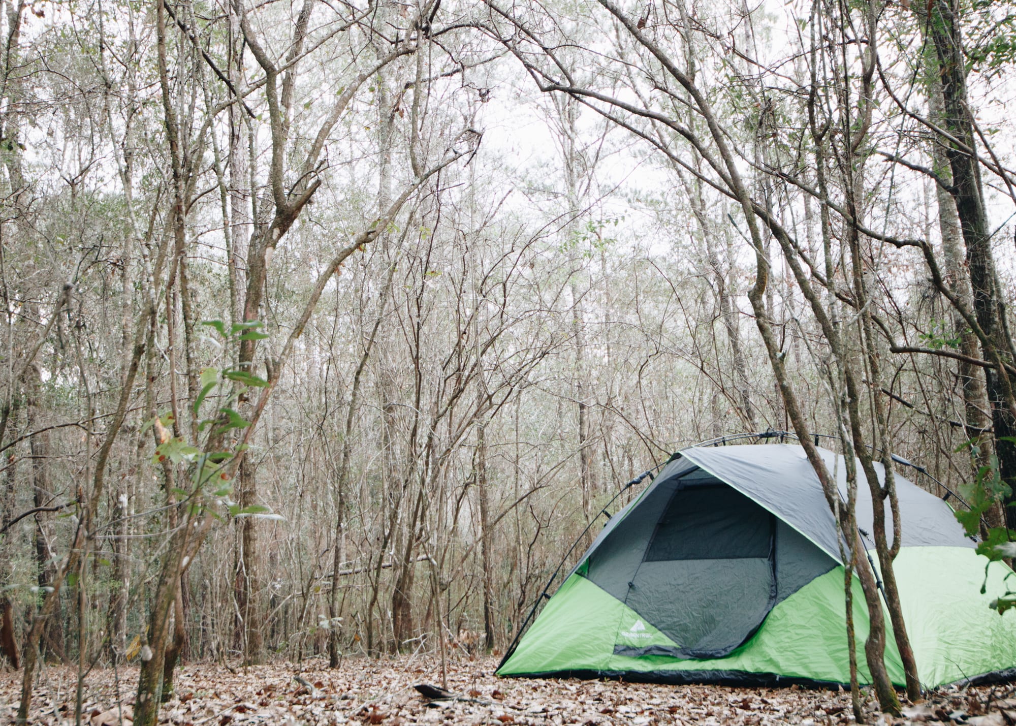
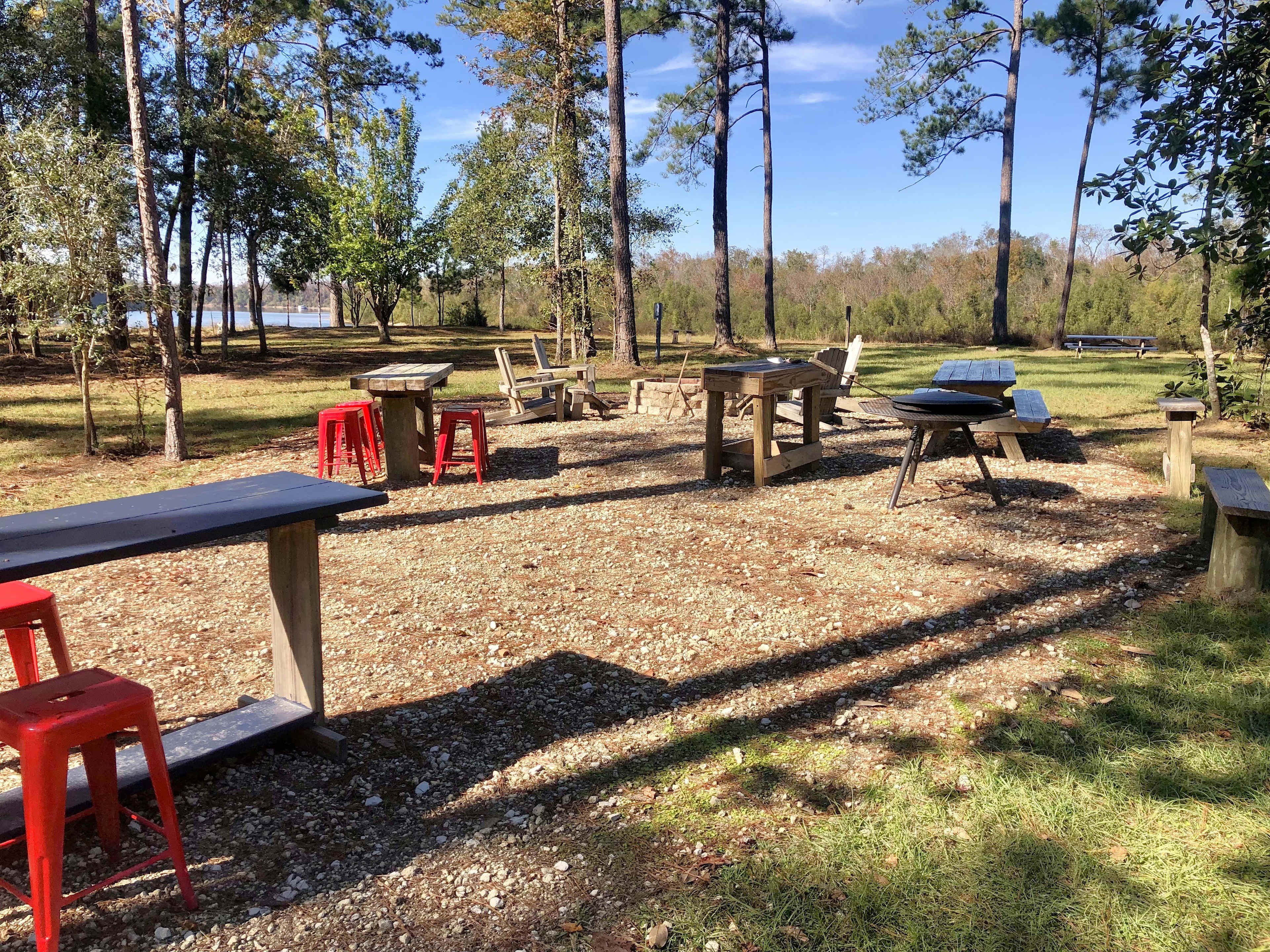
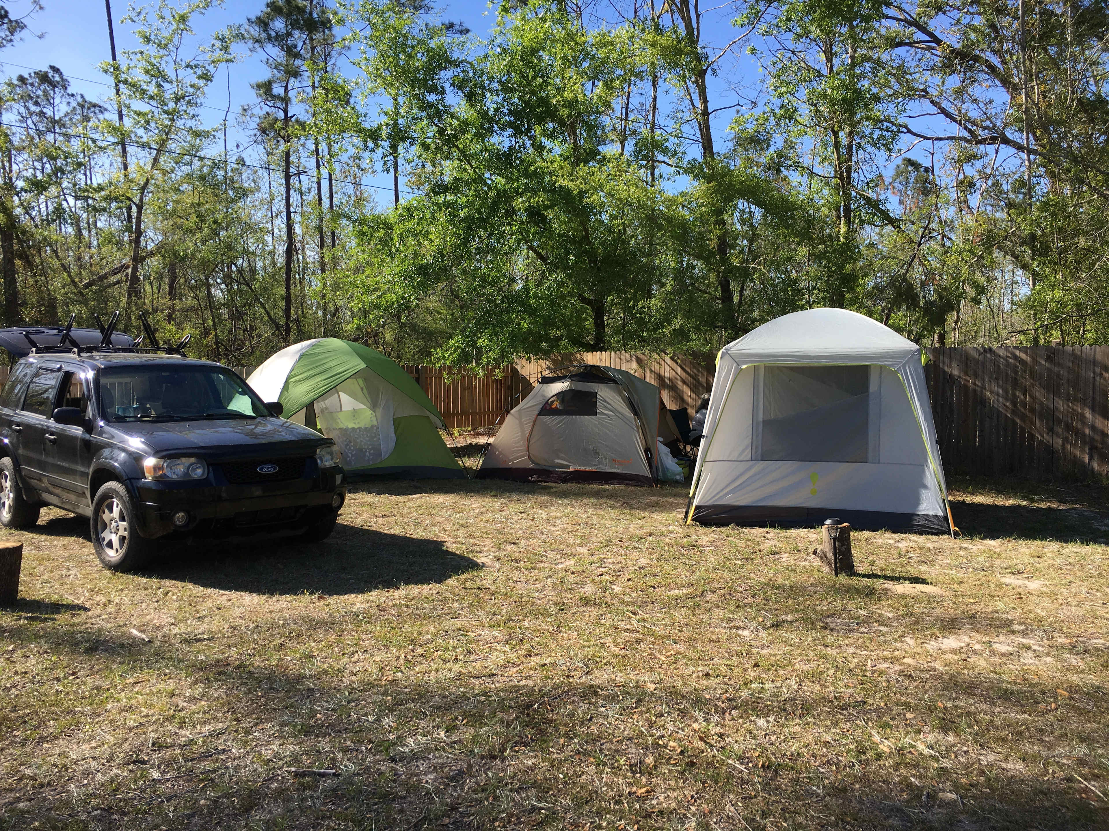
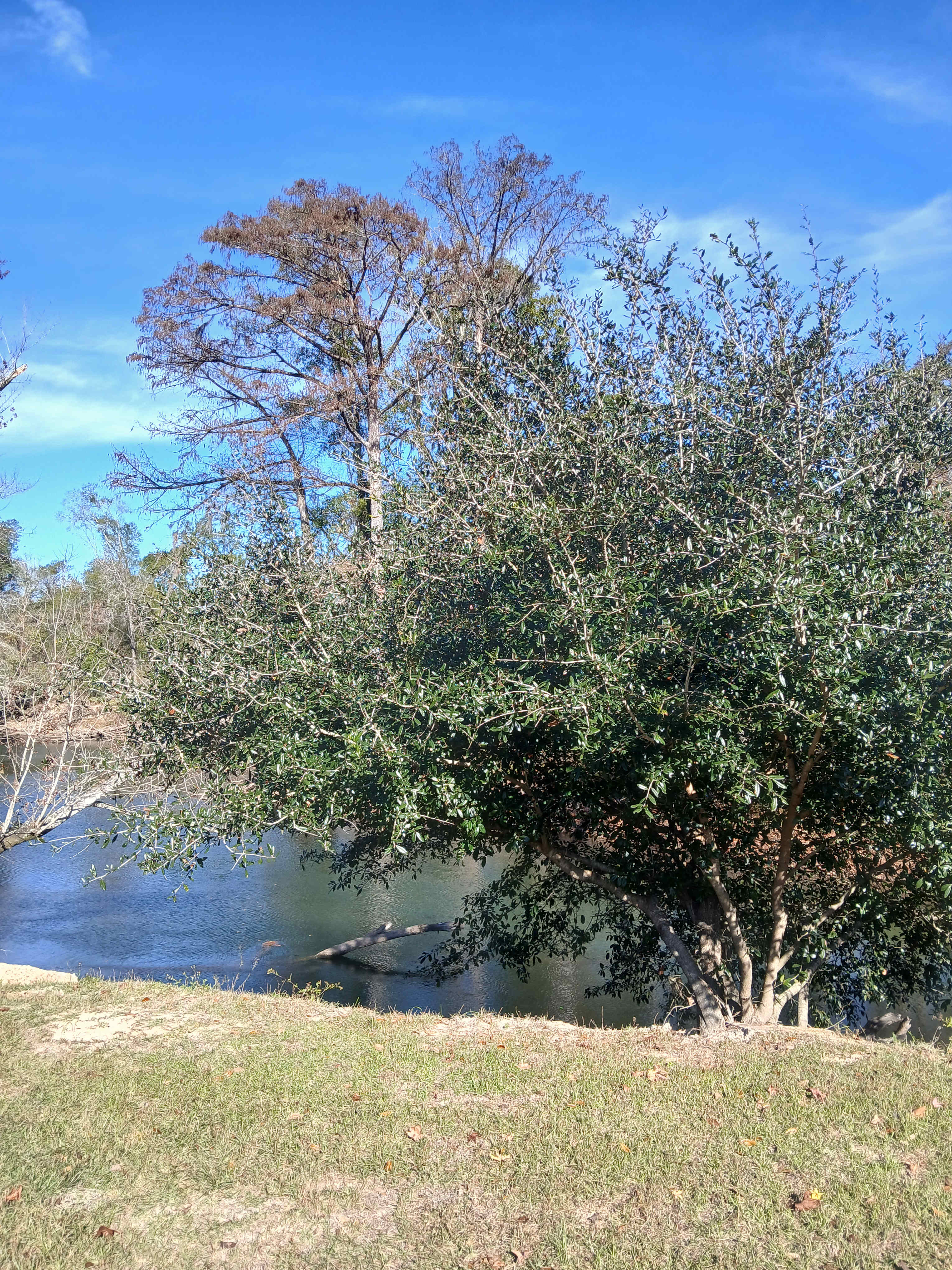
Venture underground into the Florida Caverns—the highlight of the eponymous state park—and you’ll be rewarded with a dazzling exposition of Mother Nature. Gigantic stalactites, stalagmites, and flowstones adorn the limestone caves, and guided tours always feel like an adventure. Above ground, the forested floodplains provide plenty more options for outdoor activities, from boating and canoeing along the Chipola River to cycling, horseback riding, and hiking along more than eight miles of trails. Campers will find plenty of space for RVs and tents at the Blue Hole Campground, and there are also equestrian sites nearby. 

Tips for snagging a campsite

  1. You can reserve the 32 full hookup campsites or six equestrian sites at Blue Hole Campground via the Florida State Parks Reservation website. 
  2. Florida Caverns State Park campsite reservations can be made 11 months in advance for Florida residents, or 10 months in advance for non-residents.
  3. Campsites can book up as fast, especially for cabins in peak season (April-September) or over holiday weekends, so book at least three months in advance.

When to go

Cavern tours run every week (aside from Christmas and Thanksgiving) from Thursday through Monday. Tickets are available on a first-come, first-serve basis, with the first slot at 9 am, so it’s a good idea to arrive early to snag a spot (particularly if you’re visiting on a summer weekend). Exploring the park is possible year-round, but it’s most colorful during spring and early summer when wildflowers bloom along the floodplains.

Know before you go

  • Florida Caverns State Park is located about a 5-minute drive north of Marianna. The main entrance is along Caverns Road, and there are four parking lots located within the park.
  • There are day-use fees for all Florida State Parks, and campsite booking fees also apply. The caverns can be visited by guided tour only, and fees apply. 
  • You can bring your own small boat or watercraft to the state park. Swimming is permitted only in the designated area, and there is no lifeguard patrol. 
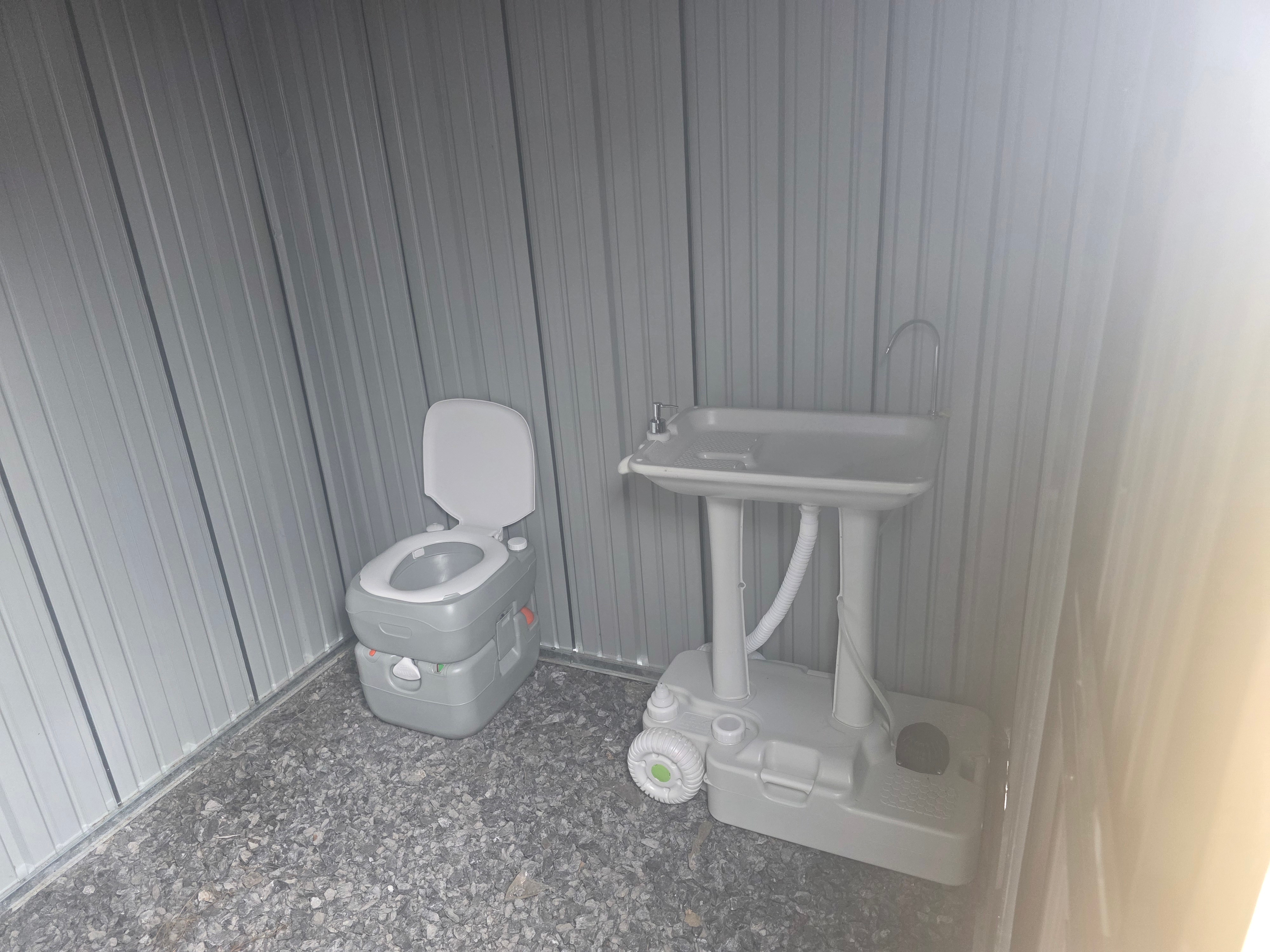
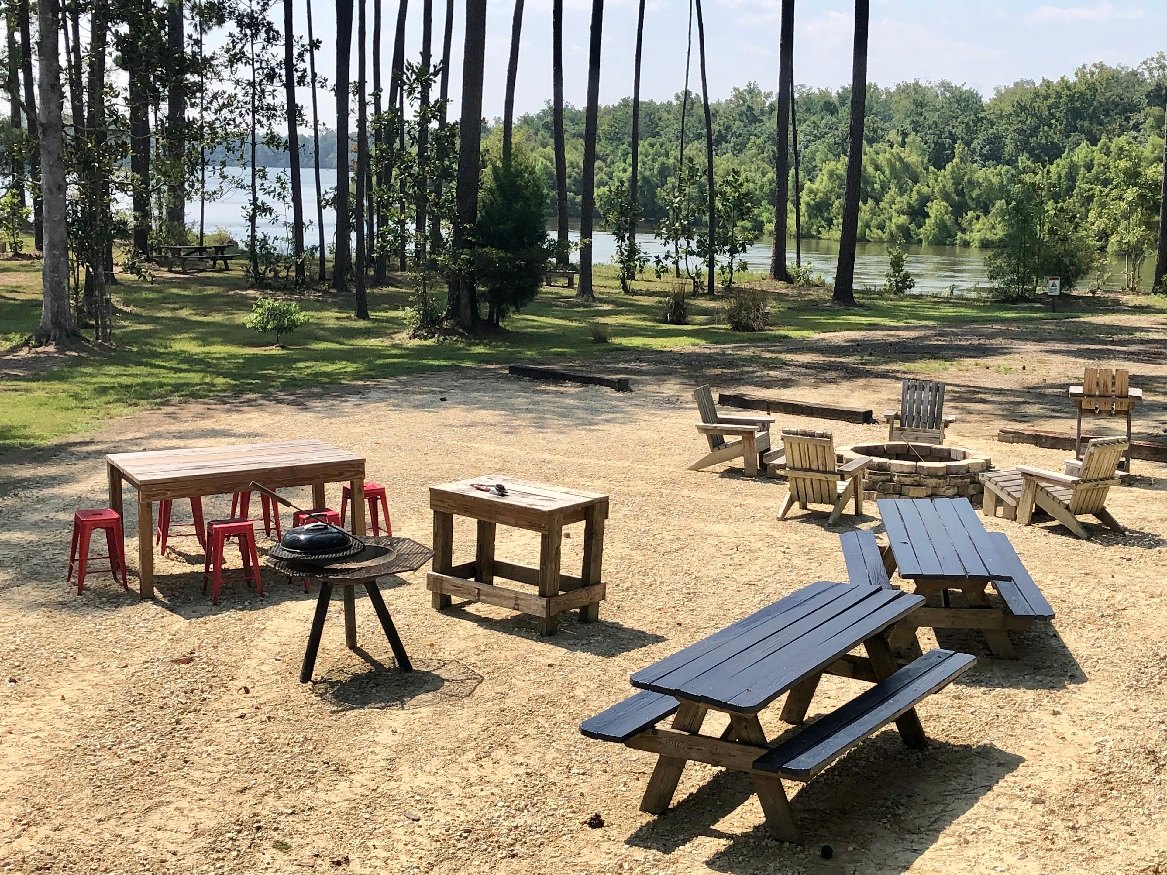
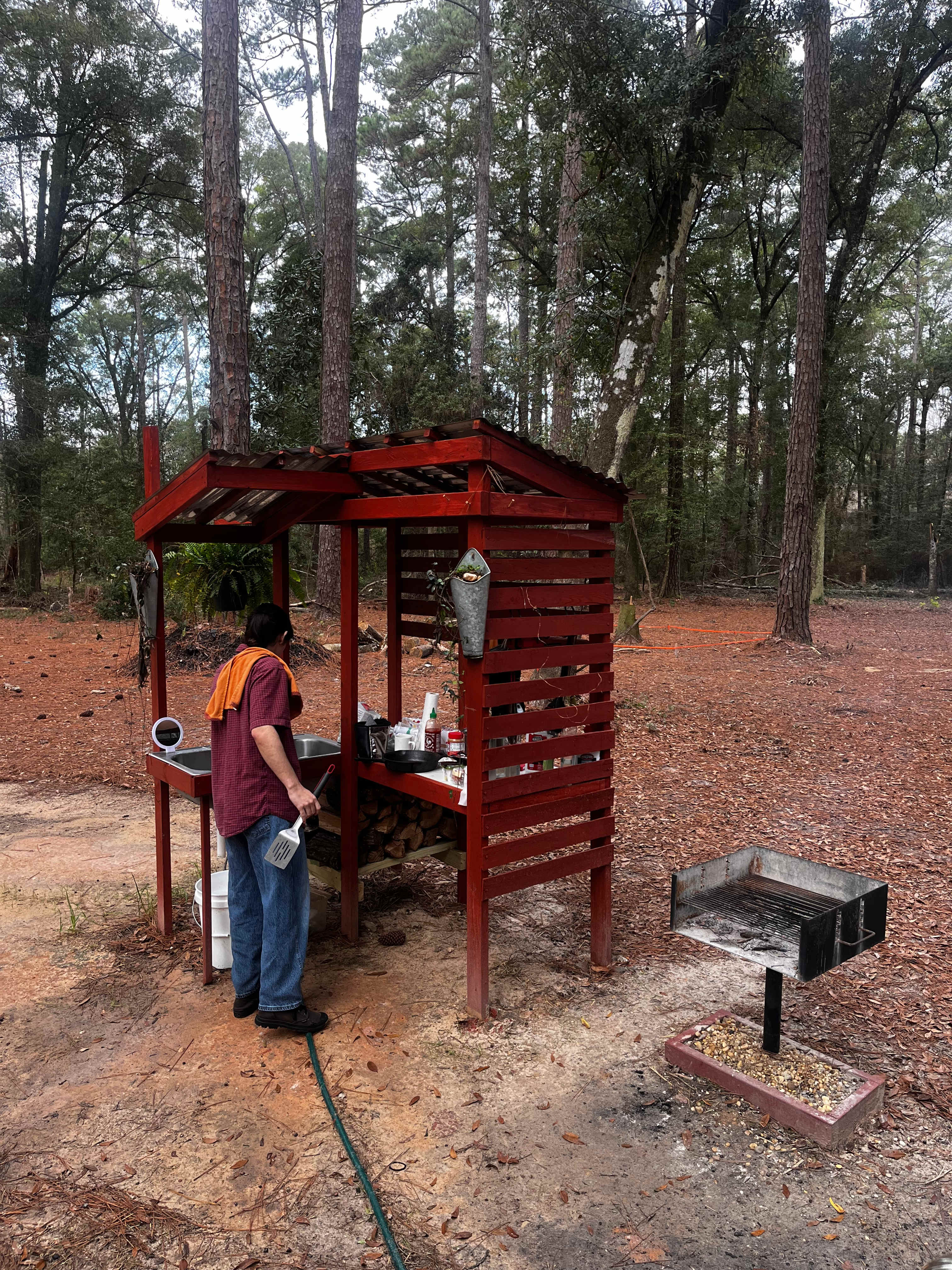
  • Facilities at Florida Caverns include a Visitor Center, a restaurant and gift shop, restrooms, a playground, and picnic areas with grills.
  • There are accessible restrooms, campsites, and picnic areas at Florida Caverns State Park.

Top cities near Florida Caverns State Park

Safety at Hipcamp

Inclusion Policy
Inclusion Policy
Inclusion Policy
Hipcamp Hand

Safety partners

Recreate Responsibly

About us

Camp Your Way™

Find the perfect site to match your camping style. Explore the largest collection of private campsites, RV parks, cabins, and glamping—including 120,000+ sites you won’t find anywhere else. Explore our maps, filter by your camping style, read real camper reviews, and book directly in our app. Hipcamp is the simplest way to find yourself outside under the stars.

Download the Hipcamp App

© 2024 Hipcamp, Inc. All rights reserved.
Hipcamp is created with ❤️ and hope for our future.